Water · Uña
Laguna de Uña
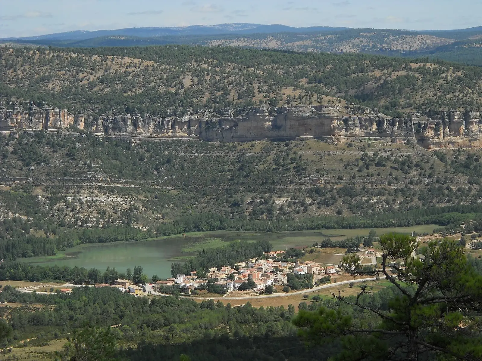
Laguna de Uña lies at the confluence of the Arroyo del Rincón and the Júcar, between limestone cliffs and pine forests. Castilla-La Mancha Tourism says its capacity tripled with the 1924 canal linking La Toba reservoir to the Salto de Villalba; Cuenca Provincial Council (Diputación de Cuenca) refers to a canal from the 1960s.
- Municipality
- Uña
- Laguna de Uña
- Tufa
- Cliffs
- Salto de Villalba
A lake at the confluence
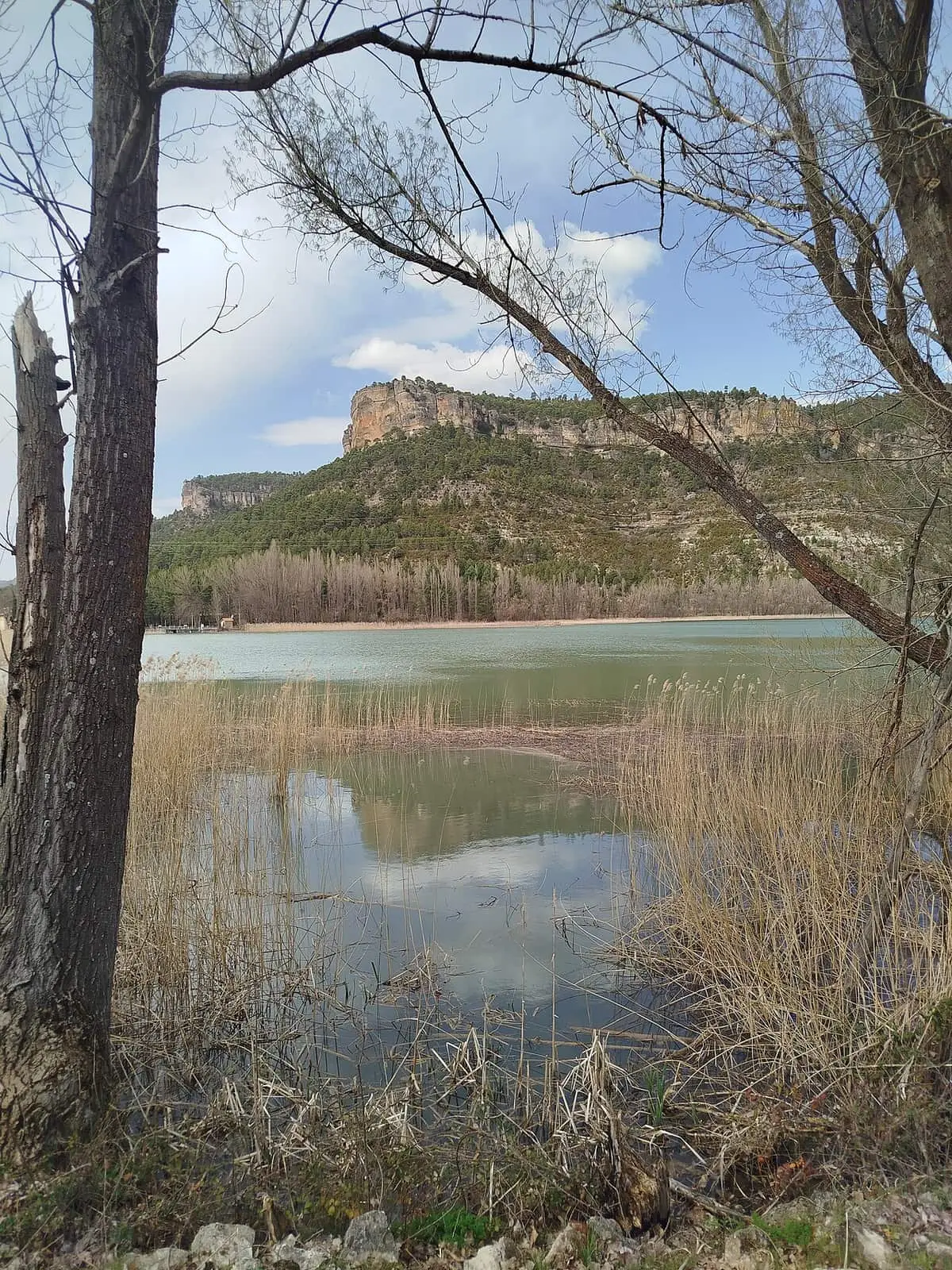
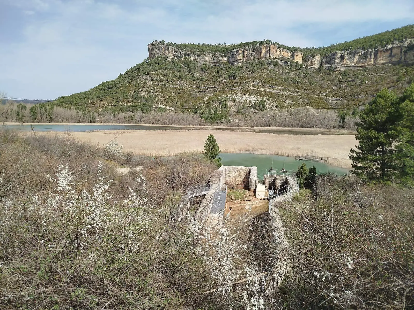
The lake at Uña lies where the Arroyo del Rincón joins the Júcar, between limestone cliffs and pine forests. It covers around 15 hectares since being enlarged for the Salto de Villalba; previously it covered around three. Rich in plants and animals, it is also a water storage basin: the canal linking it to La Toba reservoir and the Salto de Villalba enlarged it, tripling its capacity. When that canal was built is unclear: some sources say 1924 and others the 1960s.
The island that moved
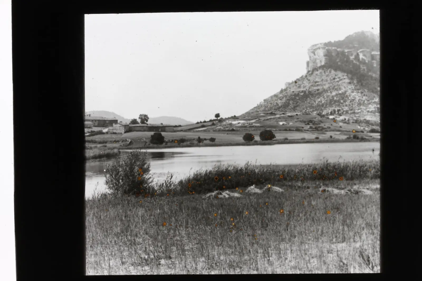
Before the canal, the lake overflowed into the Júcar in a cascade over a natural tufa barrier, and that water powered a flour mill and, until the late 19th century, an ironworks. In 1878 it measured just over two hectares and fifteen metres deep. Its most remarkable feature was something else: in 1611 Sebastián de Covarrubias wrote that in its middle was a floating island, of a porous stone like tufa, with grass and small trees, carried from side to side of the lake by the wind, on which livestock grazed. Mártir Rizo described it in 1642 as a patch of turf more than forty feet in circumference, with grasses and trees, moving over the water. By 1878 it had become attached to one shore. Today only some older residents remember it.
A quiet place
Although partly shaped by people, it retains something wild. There is no boating or sport on it. It is a place to look and listen, with cliffs around it and pine forest reaching the shore.
Plan your visit
The Uña visitor centre, opposite the lake, explains the water and the tufa barrier.
Before you travel
No opening times or access rules have been published: ask beforehand. Do not enter the water or disturb wildlife.
Combine with
The Ciudad Encantada is nearby.
From the archive
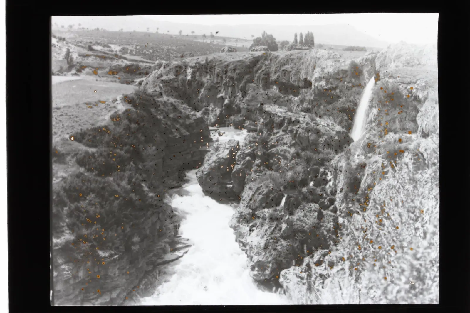
Frequently asked questions
What can be seen from the visitor centre?
A viewpoint with a telescope for observing aquatic wildlife, a model of the original setting and an audiovisual presentation about life in the Júcar.
Is there a trail?
The PR-CU 37, Escalerón y La Raya, leaves the village and climbs to the cliffs; care is required at La Raya.
Carry on from here
Rivers and basins
Following the water from Laguna de Uña
Follow these watercourses to where they meet, to their villages and to the memories of their basin.
Lands and landscapes
From here, follow the memory of the land
These readings connect Laguna de Uña with the stories, the work and the villages around it.
Where it is
● Reference point · ● Villages · ● Places · ━ Routes nearby
Location sketch. The map with paths and names loads as you scroll to it.
Reference villages: Uña · Las Majadas · Villalba de la Sierra · Buenache de la Sierra.
Open the full map and its historical layers →More springs, lakes and rivers nearby
See all →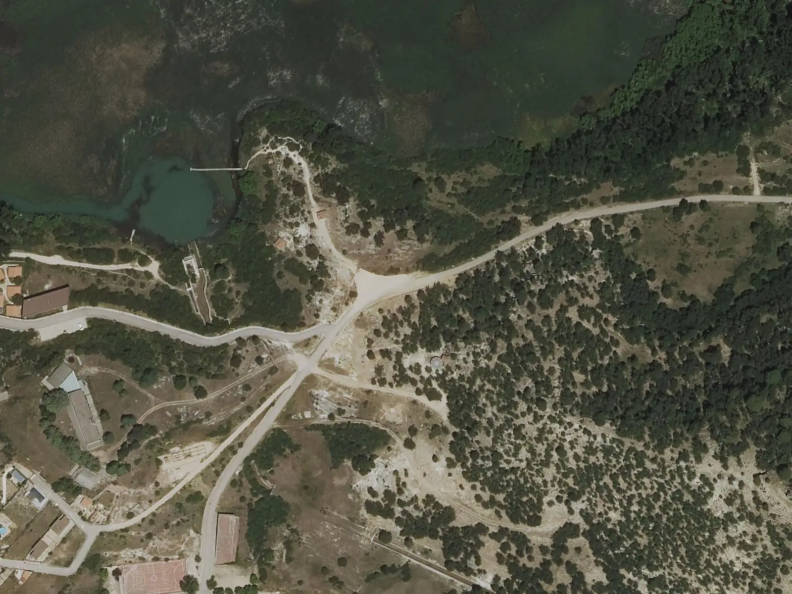


Where the data on this page come from
- Name
- Rewilding España source consulted, 4 October 2026
- Diputación Provincial de Cuenca source consulted, 4 October 2026
- Turismo de Cuenca / Ayuntamiento de Cuenca source consulted, 4 October 2026
- Turismo de Cuenca / Visit Cuenca source consulted, 4 October 2026
- Medio/empresa por confirmar source consulted, 5 October 2026
- Location
- Rewilding España source consulted, 4 October 2026
- Turismo de Cuenca / Visit Cuenca source consulted, 4 October 2026
- Municipality (INE code)
- Diputación Provincial de Cuenca source consulted, 4 October 2026
- Medio/empresa por confirmar source consulted, 5 October 2026
«Source consulted»: the primary source has been read. «Reference located»: the source has been identified but not yet read. «Open question»: the figure needs confirmation.