Español

Place · Uña

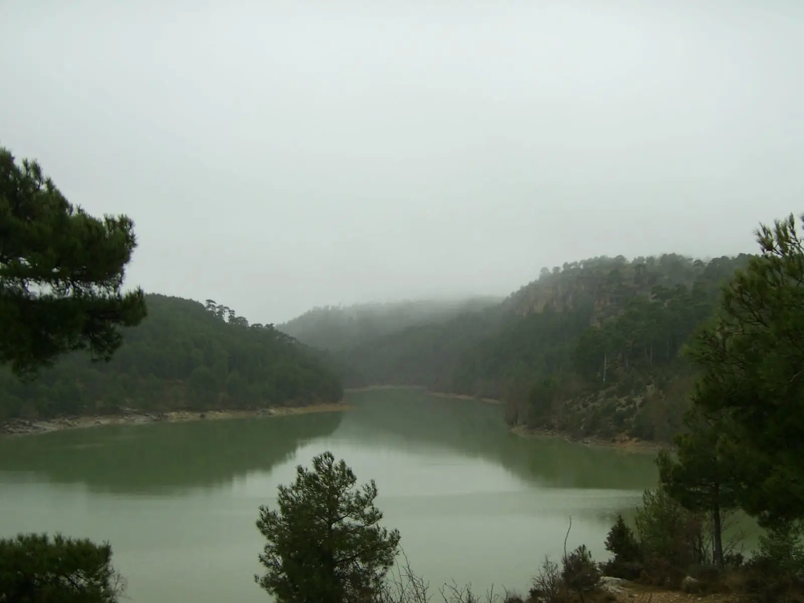
La Toba reservoir

La Toba reservoir lies on the Júcar within Uña, in the Serranía de Cuenca Natural Park. Its capacity is 9.7 hm³ according to the Júcar River Basin Authority. River water is diverted from it to Villalba de la Sierra hydroelectric station, changing Laguna de Uña's water regime.
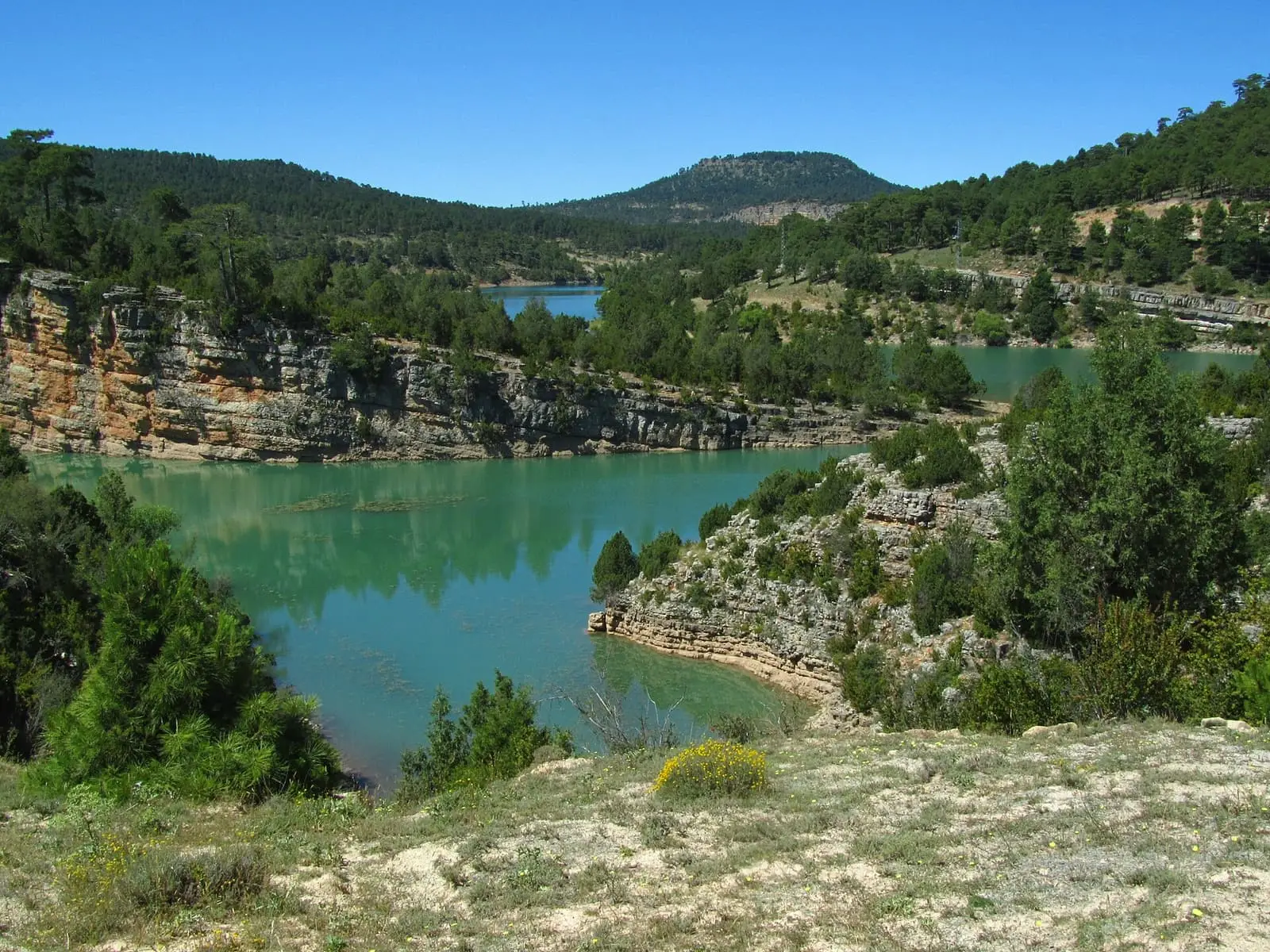
Water of the La Toba reservoir between wooded slopes
The La Toba reservoir. Photo: «Embalse de La Toba», Pequeño Santi (2014) · CC BY-SA 4.0
Municipality
Uña
  • Reservoir
  • Júcar
  • Uña
  • Salto de Villalba
  • Natural Park

A reservoir for electricity

The reservoir lies on the Júcar through Uña, in the Natural Park’s southern zone. It holds 9.7 hm³ according to the Júcar River Basin Authority. Its purpose is electricity: water leaves it through Laguna de Uña and a canal along the canyon to the Salto de Villalba station, operating since 1926.

The diversion had effects: the lake grew and its old tufa waterfall, at the Travertino viewpoint, stopped flowing.

Plan your visit

Before you travel

This is a hydroelectric reservoir with a changing level. To understand the whole system, start at Uña Visitor Reception Centre.

Combine with

The Júcar canyon and Uña cliffs, with PR-CU 37, a short-distance trail.
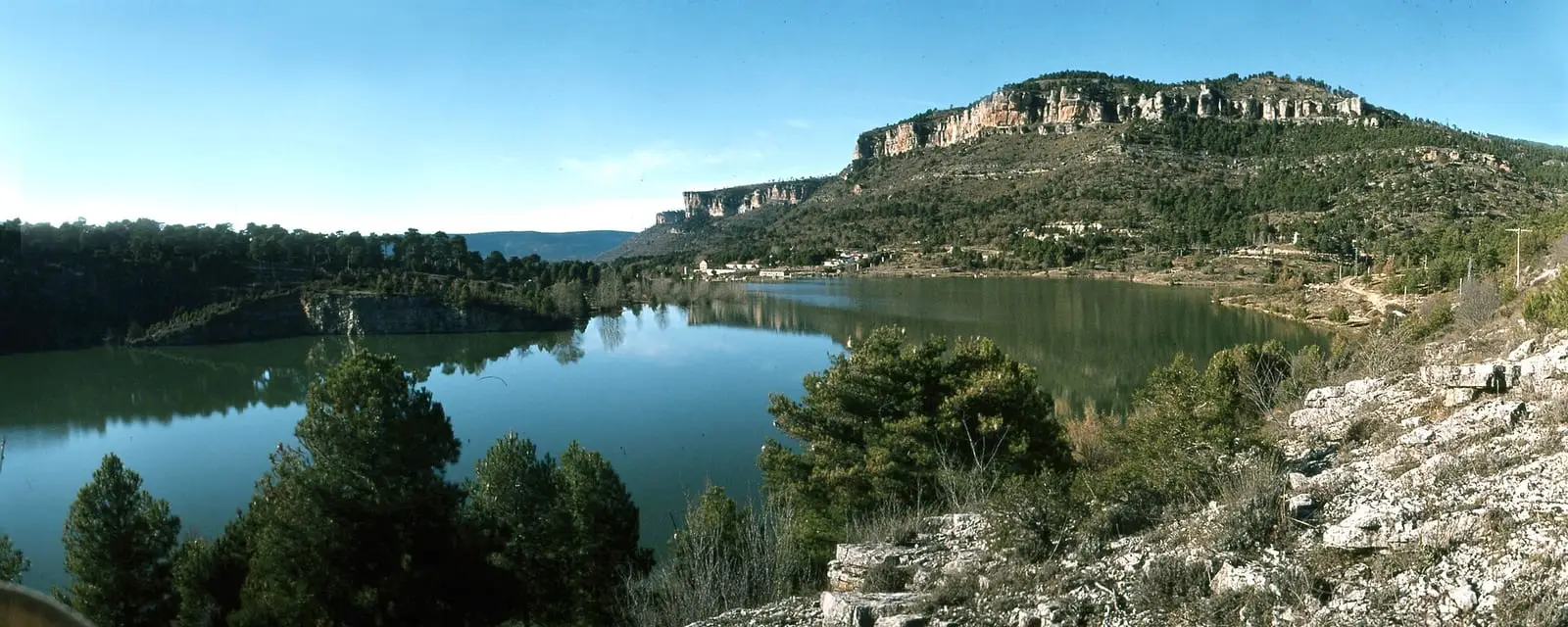
Water of the La Toba reservoir among the hills
The La Toba reservoir, in 1979. Photo: «Serranía de Cuenca 1979 37», LBM1948 (1979) · CC BY-SA 4.0
Green water of the La Toba reservoir between wooded slopes, with trees in the foreground
The La Toba reservoir between the slopes. Photo: «Dam of La Toba - Cuenca province - Spain - panoramio», diego_cue (2005) · CC BY-SA 3.0

Frequently asked questions

What is its capacity?

9.7 hm³ according to the Júcar River Basin Authority's reservoir reports.

What is its water used for?

Mainly Villalba de la Sierra hydroelectric station: water is diverted by canal through Laguna de Uña.

Carry on from here

Lands and landscapes

From here, follow the memory of the land

These readings connect La Toba reservoir with the stories, the work and the villages around it.

Where it is

Location of La Toba reservoir Arcos de la SierraBeamudBuenache de la SierraLa CiervaCuencaHuélamoLas MajadasMarianaPalomeraPortillaTragaceteUñaValdemecaValdemoro-SierraVillalba de la SierraZarzuelaSotorribas PNSC-S2: Los CallejonesPNSC-S5: Subida al Castillo de HuélamoPR-CU 104: Sendero de la dehesa de los OlmosPR-CU 108: Monteagudillo y el embalse de la TobaPR-CU 109: Vuelta a la ModorraPR-CU 112: Beamud - Molino de Juan RomeroPR-CU 22: Ruta de El Calahorrano y el cerro de la CuevaPR-CU 24: Ruta del cerro Calera y Los VallejosPR-CU 28: Ruta de las Fuentecillas y Los CallejonesPR-CU 29: Ceñajo de Los Calatrava, Peña Rubia y Las TorcasPR-CU 30: Ruta del Gollizno y Las CanterasPR-CU 33: Ruta de la Piedra YunquePR-CU 35: Sendero de Los CeñosPR-CU 37: Sendero del Escalerón y La RayaPR-CU 7: Ruta del Masegar Uña
In colour, the municipality. The place does not yet have a verified location, so no point is drawn. Municipal boundaries: © IGN (CC BY 4.0). Route lines: simplified official tracks; source and GPX on each page.