Village on the edge of the Serranía · Cuenca
La Pesquera
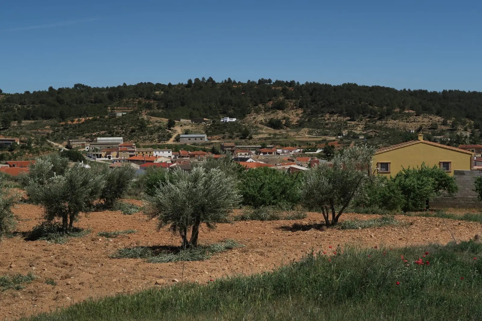
La Pesquera is a village in south-eastern Cuenca, between Serranía Baja (lower Serranía), and La Manchuela, within the Valle del Cabriel Biosphere Reserve. An official trail, PR-CU 57, descends along a stretch of Roman road with three ancient culverts to the Contreras reservoir. It had 1,250 inhabitants in 1940 and 211 in 2021.
On this page 10 sections
A village in the Cabriel valley
La Pesquera lies in the south-east of the province, in the Cabriel valley, within the Biosphere Reserve. It is one of the mildest and driest villages in the atlas. After the conquest of Cuenca in the 12th century, it became part of the Land of Cuenca and lived from farming, livestock and woodland. The village retains whitewashed rubble-stone houses, wrought-iron grilles and pitched roofs.
The church of La Purificación, dating from the 17th and 18th centuries, has a timber ceiling and a bell gable. On the square stands the Venta del Pesquete, a posting house on the old royal road from Madrid to Valencia.
What trades and memory tell
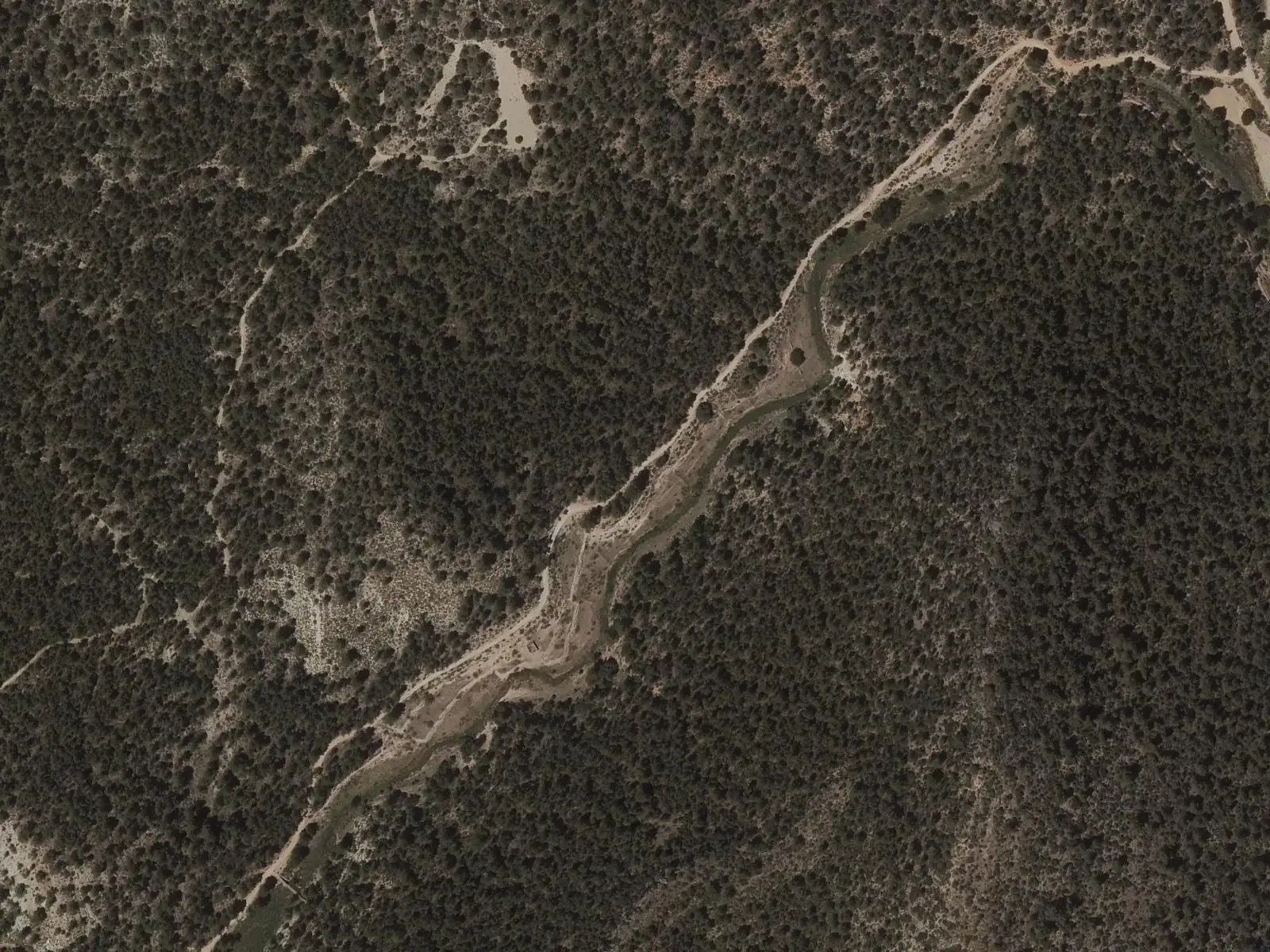
In the municipality’s pine forest, a paved stretch of Roman road survives with three contemporary culverts that still carry water away. Near the Contreras reservoir, the Rambla Salá has saline springs and remains of saltworks.
Towards the Cabriel, the valley bottoms have vines, olive trees and almond trees. The area of Los Molinillos holds the memory of the Manco de La Pesquera, described by a popular-history writer as an anti-Franco guerrilla; nothing more is said about him.
Coal and salt
In 1845, a coal mine was discovered in the Fuente de la Higuera ravine. In 1849 Madoz reported that a company had worked it since then, with little profit.
Between La Pesquera and Minglanilla lay the Santo Cristo de la Salud salt concession, which ended in litigation with the authorities. In April 1878, the Gaceta published the decree of 22 March overturning the order that had declared the concession invalid and required its title to be withdrawn.
Routes
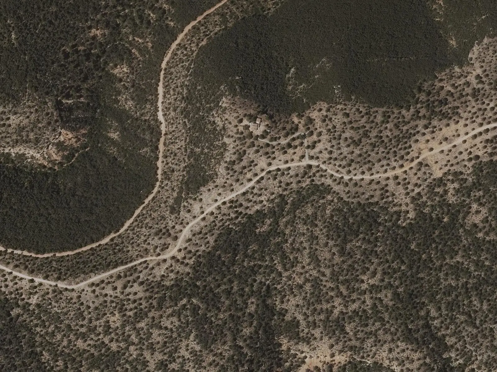
The PR-CU 57 (short-distance trail), Sendero de El Pajazo, leaves the village eastwards. After about 6 km it enters a dense pine forest and the surface becomes paved: this is the Roman road. A viewpoint overlooks the Contreras reservoir, and the path descends to the culverts and the shore. Return the same way.
Plan your visit
Walk around the village and square, and allow a morning for PR-CU 57.
Before you travel
The road and culverts are historic remains: do not walk on the walls or move stones. Carry water: in summer the pine forest and the descent to the reservoir are hot.
Frequently asked questions
What is there on the El Pajazo trail?
PR-CU 57 (10 km, 136 m of elevation gain) leaves the village eastwards along a track, enters a pine forest and descends along a paved stretch of ancient Roman road, with a viewpoint over the Contreras reservoir and three Roman culverts in excellent condition.
What is the Venta del Pesquete?
A mansion on the square which the tourism entry links to the old royal road from Madrid to Valencia and its role as a posting house.
Carry on from here
The rivers, zones, eras, places and official routes that the atlas links with La Pesquera.
Rivers and basins
Following the water from La Pesquera
Follow these watercourses to where they meet, to their villages and to the memories of their basin.
Lands and landscapes
From here, follow the memory of the land
These readings connect La Pesquera with the stories, the work and the villages around it.
Official routes
Near La Pesquera

Las Hoyas
La Cierva
Fuente del Royo picnic area
Huerta del Marquesado
Prao de San Roque picnic area
Huerta del MarquesadoSee 5 more
Paisaje Ilustrado of Huerta del Marquesado
Huerta del Marquesado
Fuente de la Ardilla picnic area
Valdemeca
Beamud viewpoint
Beamud
Fuente de los Pastores picnic area
Beamud
Valdemeca Visitor Reception Centre
ValdemecaPopulation of La Pesquera, 1842–2021
La Pesquera reached 1,250 inhabitants in 1940. The 2021 census counted 211, 83 % fewer. It is the story told in the emptying.
Climate in La Pesquera month by month
Averages for the ten years from 2015 to 2024 from the ERA5 reanalysis (Copernicus), for a grid cell with a reference altitude of 796 m. They are model estimates, not measurements from a local station or thirty-year climate normals.
Source: Copernicus ERA5 via Open-Meteo, CC BY 4.0. Retrieved: 2026-10-09.
Location
● Reference point · ● Villages · ● Places · ━ Routes nearby
Location sketch. The map with paths and names loads as you scroll to it.
Approximate position: village centre.
Reference villages: Enguídanos · Víllora · Mira · Narboneta.
Open the full map and its historical layers →Where the data on this page come from
- Location
- IGN: Nomenclátor Geográfico Básico de España, capital de municipio (CC BY 4.0) source consulted, 9 October 2026
«Source consulted»: the primary source has been read. «Reference located»: the source has been identified but not yet read. «Open question»: the figure needs confirmation.