Castle · Masegosa
Cabeza de la Torre and El Castillejo
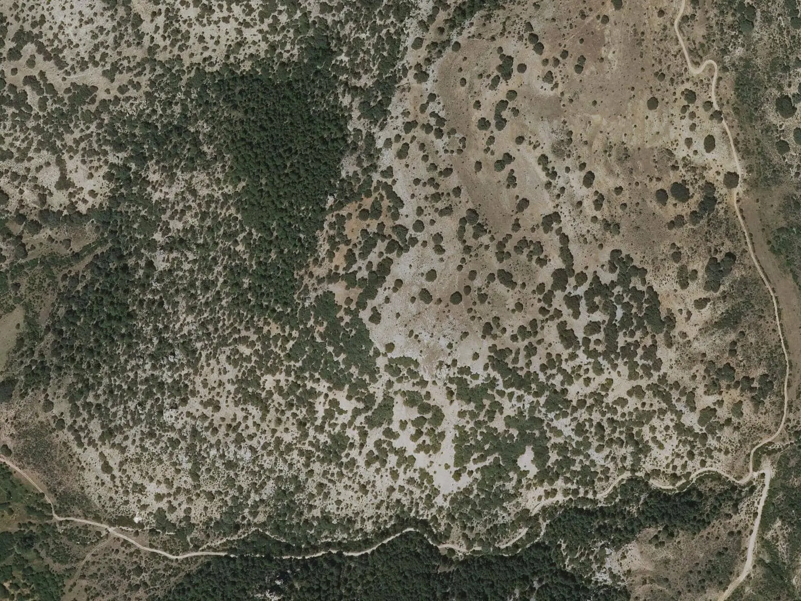
Cabeza de la Torre and El Castillejo are two fortified hills north and south of Masegosa, studied by the ARES association since 2018. The first campaign attributes prehistoric or protohistoric phases and a Visigothic or Andalusi phase to the sites, with 8th- or 9th-century fortifications.
- Municipality
- Masegosa
- Masegosa
- Fortification
- Visigoths
- Al-Andalus
- Archaeology
North and south of Masegosa are two hills with fortification remains: Cabeza de la Torre and El Castillejo. ARES has studied them since 2018, attributing in its first campaign a prehistoric or protohistoric occupation and a Visigothic or Andalusi one, with 8th- or 9th-century defences.
Plan your visit
They are in the countryside and under investigation: collect nothing. Nearby is the Muela Pinilla y del Puntal Natural Monument.
Frequently asked questions
Who studies them?
The ARES association, which published the first campaign in Mansiegona magazine in 2018.
Carry on from here
Lands and landscapes
From here, follow the memory of the land
These readings connect Cabeza de la Torre and El Castillejo with the stories, the work and the villages around it.
This place through time
Which eras you can read here
A single place can keep traces of several periods. These layers connect what you see with the atlas's stories.
Where it is
Where the data on this page come from
- Name
- Municipality (INE code)
«Source consulted»: the primary source has been read. «Reference located»: the source has been identified but not yet read. «Open question»: the figure needs confirmation.