Layer of time · 8th – 15th centuries
Frontier, charters and castles
Alfonso VIII resettled Moya and gave it a town charter in 1210, according to Chamocho; the charter does not survive and is known from a 1625 letter by the castle warden Baltasar Cavallón.
The Hospital or Casa de la Merced of Moya, devoted to ransoming captives and run by the Order of Santiago, is dated to 1211. Earlier, Walmu, today's Huélamo, appears among the strongholds of the cora (district) of Santaver, and the director of the excavations at its castle argued in 2022 for an origin at the end of the 8th or the beginning of the 9th century, a date still to be checked against the archaeological report. Moya has been a historic-artistic ensemble since 1982, and the walled enclosure of Cañete a Bien de Interés Cultural since 1996.
A selection of traces related to this era. A place may have other origins, later transformations and uses.
Where these data come from
- Chamocho Cantudo, Miguel Ángel: «Los fueros del Reino de Toledo y Castilla la Nueva» (2017) (source consulted)
- Sáez Fernández, Teodoro: «El Hospital de Moya» (1995) (source consulted)
- Leonor Parra-Aguilar: «La defensa fortificada del oeste de la cora de Santaver a través de los sistemas de información geográfica (SIG): un estudio multidisciplinar» (2024) (source consulted)
- Muñoz Martínez, José Luis: «Encuentran cerámica de la Edad del Bronce y construcciones del siglo VIII en el castillo de Huélamo» (2022) (source consulted)
- España. Ministerio de Cultura: «Real Decreto 2726/1982, de 3 de septiembre, por el que se declara conjunto histórico-artístico la villa de Moya (Cuenca)» (1982) (source consulted)
- Junta de Comunidades de Castilla-La Mancha: «Decreto 46/1996, de 16 de abril, por el que se declara Bien de Interés Cultural, con categoría de Conjunto Histórico, el Recinto Amurallado de Cañete» (1996) (source consulted)
The stories of this era
Where its trace remains
Cabeza de la Torre and El Castillejo
Masegosa
Huélamo castle
Huélamo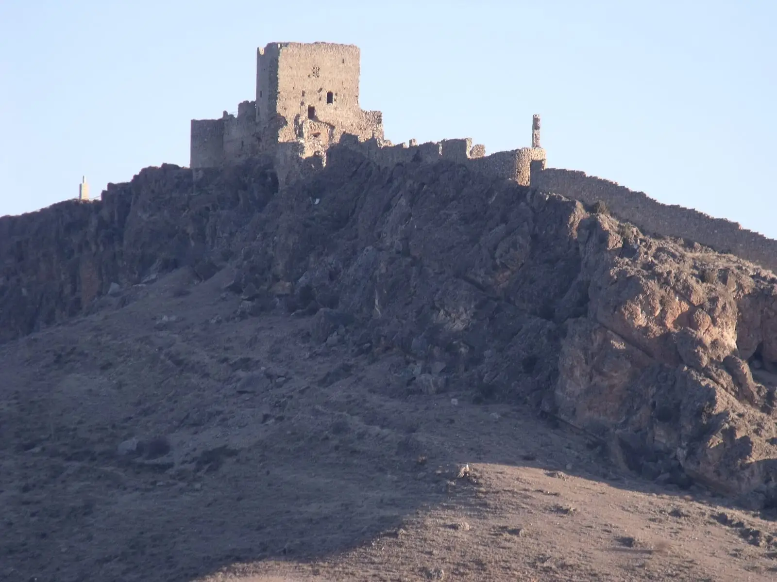
Moya castle
Moya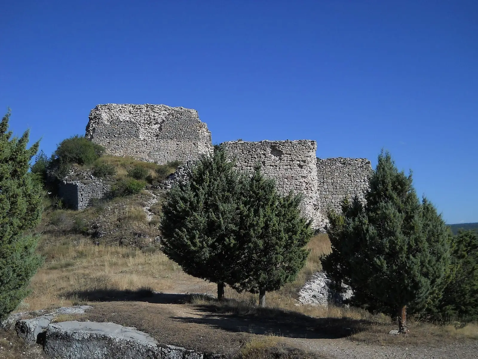
Rochafrida castle
BetetaCerrito del Moro
Huerta del Marquesado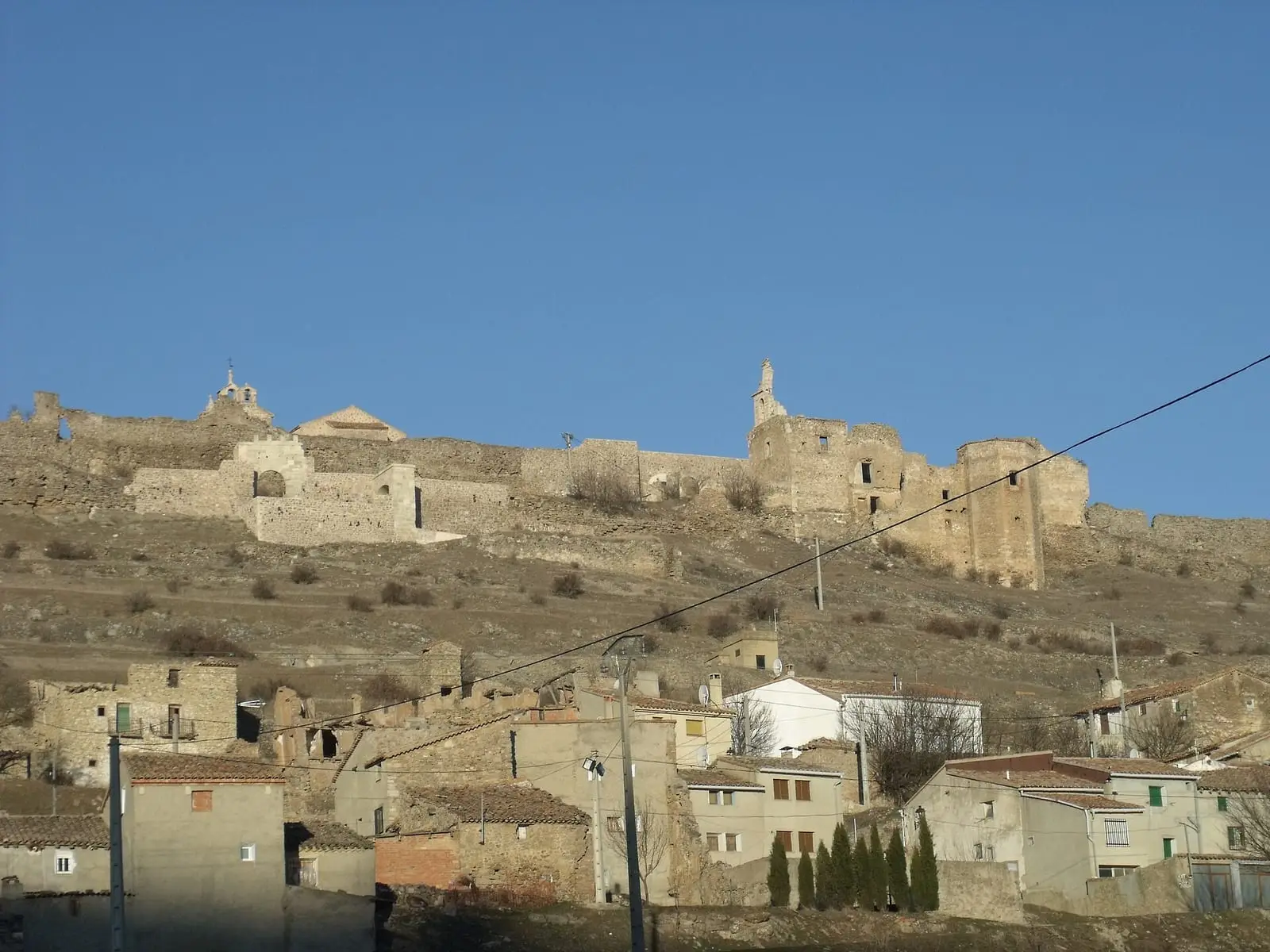
Moya historic ensemble
MoyaSee all 11 places
Some places do not yet have a verified location: the map colours their municipality.
The era on the map
Mesozoic – today
Geology and dinosaurs
The dissolving of Mesozoic limestone shaped torcas, lakes and the Ciudad Encantada in the Serranía, a karst landscape to which the IGME, the Spanish Geological Survey, assigns 20 km².
Palaeolithic – Bronze Age
First marks and rock art
In Villar del Humo the regional government counts 31 painted sites with Levantine and schematic art, roughly between 8,000 and 3,500 years old; their rock shelters are part of the serial rock-art property that UNESCO inscribed in 1998.
7th – 1st centuries BC
Iberians and Celtiberians
The Iron Age left hillforts, settlements and cemeteries in the Serranía.
1st – 4th centuries
Rome and lapis specularis
Valeria was founded between 93 and 82 BC, and the villa of Noheda, from between the 1st century BC and the 6th century AD, keeps a figurative mosaic of 231.62 m²; both are in municipalities bordering the Serranía.
8th – 15th centuries
Frontier, charters and castles
Alfonso VIII resettled Moya and gave it a town charter in 1210, according to Chamocho; the charter does not survive and is known from a 1625 letter by the castle warden Baltasar Cavallón.
16th – 18th centuries
Towns, lords and the Mesta
Between the 16th and 18th centuries the villages of the Land of Cuenca became chartered towns one by one. Villalba de la Sierra broke away from the city in 1510, Fuentes received the title of villa in 1557 and Cañizares paid 2,280,000 maravedíes between 1582 and 1583 for its own jurisdiction. Other villages had a lord: in 1752 Huélamo paid the Count of Salvatierra twenty-four trout pies a year.
16th – 20th centuries
The trades of the forest and the water
For centuries the trades of the Serranía came from the pine forest, the livestock and the water.
19th century
Carlists, Madoz and disentailment
Madoz's Dictionary gives figures from the mid-19th century: in 1847 Huélamo had 120 houses and 469 souls, with half the municipality cultivated and the other half covered with timber pines; Mira, in 1848, had 384 houses and 1,519 souls, in a stony municipality of poor yield.
1936 – 1950s
War, maquis and post-war
The Agrupación Guerrillera de Levante operated in the Serranía; from November 1947 it was called the Agrupación Guerrillera de Levante y Aragón (AGLA), according to the Democratic Memory project of the UCLM.
1950s – today
The emptying
The INE records 2,605 registered inhabitants for Mira in 1950 and 937 in 2021, with the caveat that the municipality took in Narboneta between 1857 and the census before 1930.
21st century
Today
In the 21st century the Serranía de Cuenca is a land with very few people and a great deal of protection. The Natural Park was designated in 2007 by Law 5/2007, with 73,726 hectares, and in 2019 UNESCO designated the Valle del Cabriel Biosphere Reserve, with 421,765.93 hectares according to the BOE. In 2021 the regional government listed the Gancheros del Alto Tajo as a Bien de Interés Cultural.