Museum · Uña
Uña Visitor Reception Centre
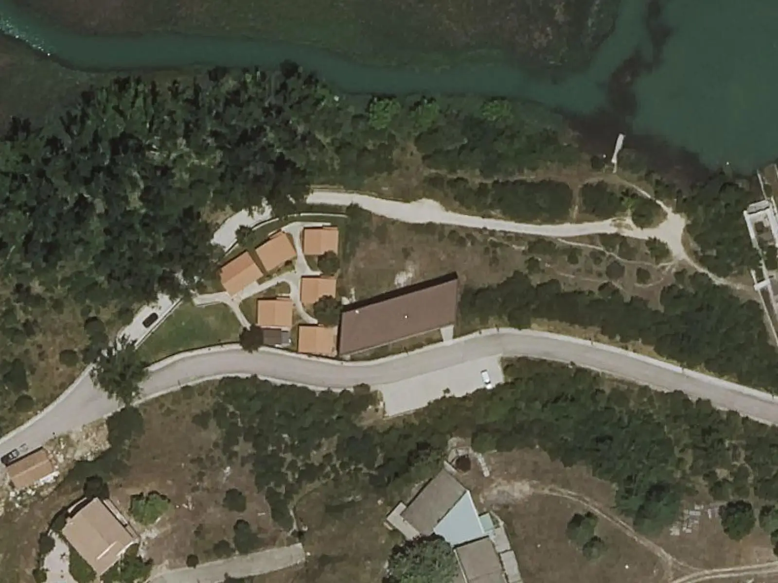
Uña Visitor Reception Centre, on Calle de la Fuente facing the lake, has an exhibition on lake ecosystems, geology, water, flora, fauna and ethnography, with a model of the lake before enlargement and an audiovisual presentation on the Júcar. It has a viewpoint and telescope for observing birds and aquatic wildlife.
- Municipality
- Uña
- Visitor centre
- Uña
- Laguna de Uña
- Júcar
Facing the lake
The Natural Park visitor centre in Uña stands in the village facing the lake. An open-plan room of 366 m² for 50 people, with an audiovisual room, toilets and parking, accessible for people with reduced mobility.
The exhibition
It covers water and the lake: rocks, a groundwater interactive, plant and animal dioramas, past and present photographs, a model of the area before the lake was enlarged and an audiovisual presentation on the Júcar and those who lived along it.
Plan your visit
PR-CU 37, the short-distance El Escalerón y La Raya trail, starts at the centre.
Before you travel
The regional government publishes an opening calendar each year: check it before going.
Combine with
The Travertino viewpoint and Ciudad Encantada, the “Enchanted City” rock formations.
Frequently asked questions
Can birds be seen?
Yes: the regional government rates wildlife-sighting potential high, and the centre has a broad viewpoint with a telescope for birds and aquatic wildlife.
Are there activities?
The «Senderismo para todos» (walking for everyone) programme, with an adapted Joelette chair for people with reduced mobility, and guided excursions awaiting a calendar.
Carry on from here
Lands and landscapes
From here, follow the memory of the land
These readings connect Uña Visitor Reception Centre with the stories, the work and the villages around it.
Where it is
● Reference point · ● Villages · ● Places · ━ Routes nearby
Location sketch. The map with paths and names loads as you scroll to it.
Reference villages: Uña · Las Majadas · Villalba de la Sierra · Buenache de la Sierra.
Open the full map and its historical layers →Where the data on this page come from
- Name
- Junta de Comunidades de Castilla-La Mancha — Parque Natural source consulted, 4 October 2026
- Rewilding España source consulted, 4 October 2026
- Municipality (INE code)
- Junta de Comunidades de Castilla-La Mancha — Parque Natural source consulted, 4 October 2026
- Rewilding España source consulted, 4 October 2026
- Location
- Rewilding España source consulted, 4 October 2026
«Source consulted»: the primary source has been read. «Reference located»: the source has been identified but not yet read. «Open question»: the figure needs confirmation.