Route · Víllora
GR 66: GR-66
GR 66, Sendero Castellano-Manchego, is a long-distance trail crossing Castilla-La Mancha from north to south. It enters Cuenca from Peralejos de las Truchas and crosses the province to Iniesta. It has three sections within the Serranía de Cuenca Natural Park: 15.1 km of sector A to Tragacete, sector B's 35.4 km from Tragacete to Uña and 7.6 km of sector C to Valdecabras. Sector D follows the Cabriel valley.
- Code
- GR 66
Walking time without travel or stops. Difficulty estimated from distance and elevation gain where there is no official grading. «Easy» does not mean accessible.
- GR 66
- Long-distance trail
- Natural Park
- Tragacete
- Uña
- Cabriel
Where to start
Anywhere you choose: this is a long-distance trail entering Cuenca from the north at Peralejos de las Truchas, in the Alto Tajo Natural Park, and crossing it to leave through Iniesta towards Albacete.
The route
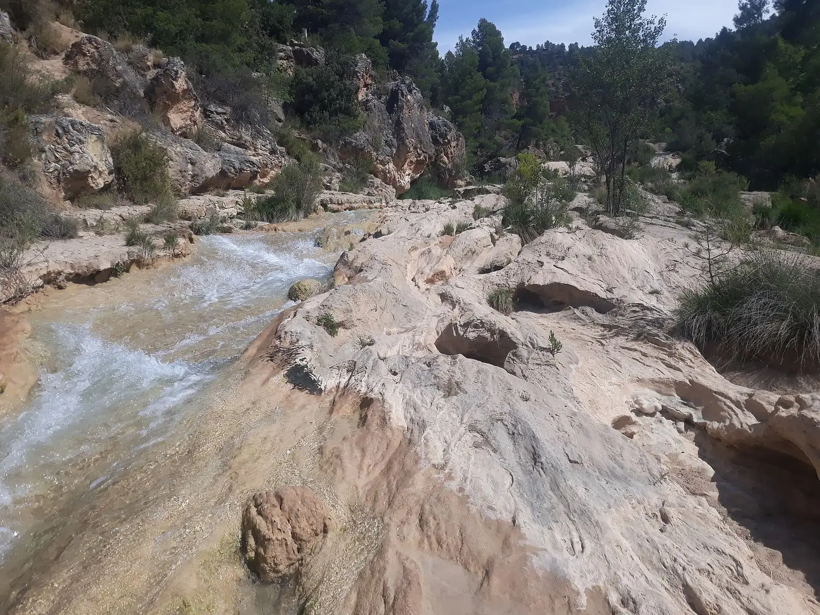
In the Serranía de Cuenca Natural Park it crosses pine, Portuguese-oak and juniper forests, parameras, high open limestone plateaux, and gorges. Sector A enters from Santa María del Val to Tragacete (15.1 km within the Park); sector B, from Tragacete to Uña, lies entirely within the Park (35.4 km), and sector C leaves Uña for the southern boundary at Valdecabras (7.6 km). Further south, sector D follows the Cabriel, linking its valley villages, including Víllora, among vegetable gardens, vines, almond trees, olives and pine woods.
Difficulty and time
The Park guide rates it moderate. It is walked in stages.
Before you set out
In October 2026 the Senderos de Cuenca register listed GR 66 as «Baja temporal» (temporarily withdrawn): a continuous through-route is not guaranteed. Check each section’s status before planning.
In winter there may be snow on the parameras. Take water for the whole stage.
Official route · Federación de Deportes de Montaña de Castilla-La Mancha y Diputación de Cuenca (Senderos de Cuenca) (GR 66). Description, track and notices on the official route page (in Spanish). Before you set out, check there for changes or closures.
Frequently asked questions
Which section crosses the Natural Park?
Sector B, from Tragacete to Uña, is entirely within the Park: 35.4 km. Sector A runs 15.1 km inside from Santa María del Val to Tragacete, and sector C 7.6 km from Uña to the southern boundary at Valdecabras.
Carry on from here
Lands and landscapes
From here, follow the memory of the land
These readings connect GR-66 with the stories, the work and the villages around it.
Where it is
Where the data on this page come from
- Name
- FDMCM / Diputación Provincial de Cuenca source consulted, 4 October 2026
- Ayuntamiento de Víllora source consulted, 5 October 2026
- Galanita / gestión editorial por verificar source consulted, 5 October 2026
- Iniciativa Sistema Ibérico Sur / Rewilding España source consulted, 5 October 2026
- Route data
- FDMCM / Diputación Provincial de Cuenca source consulted, 4 October 2026
- Ayuntamiento de Víllora source consulted, 5 October 2026
- Galanita / gestión editorial por verificar source consulted, 5 October 2026
- Iniciativa Sistema Ibérico Sur / Rewilding España source consulted, 5 October 2026
- Municipality (INE code)
- Ayuntamiento de Víllora source consulted, 5 October 2026
- Galanita / gestión editorial por verificar source consulted, 5 October 2026
«Source consulted»: the primary source has been read. «Reference located»: the source has been identified but not yet read. «Open question»: the figure needs confirmation.