Village · Cuenca
Arguisuelas
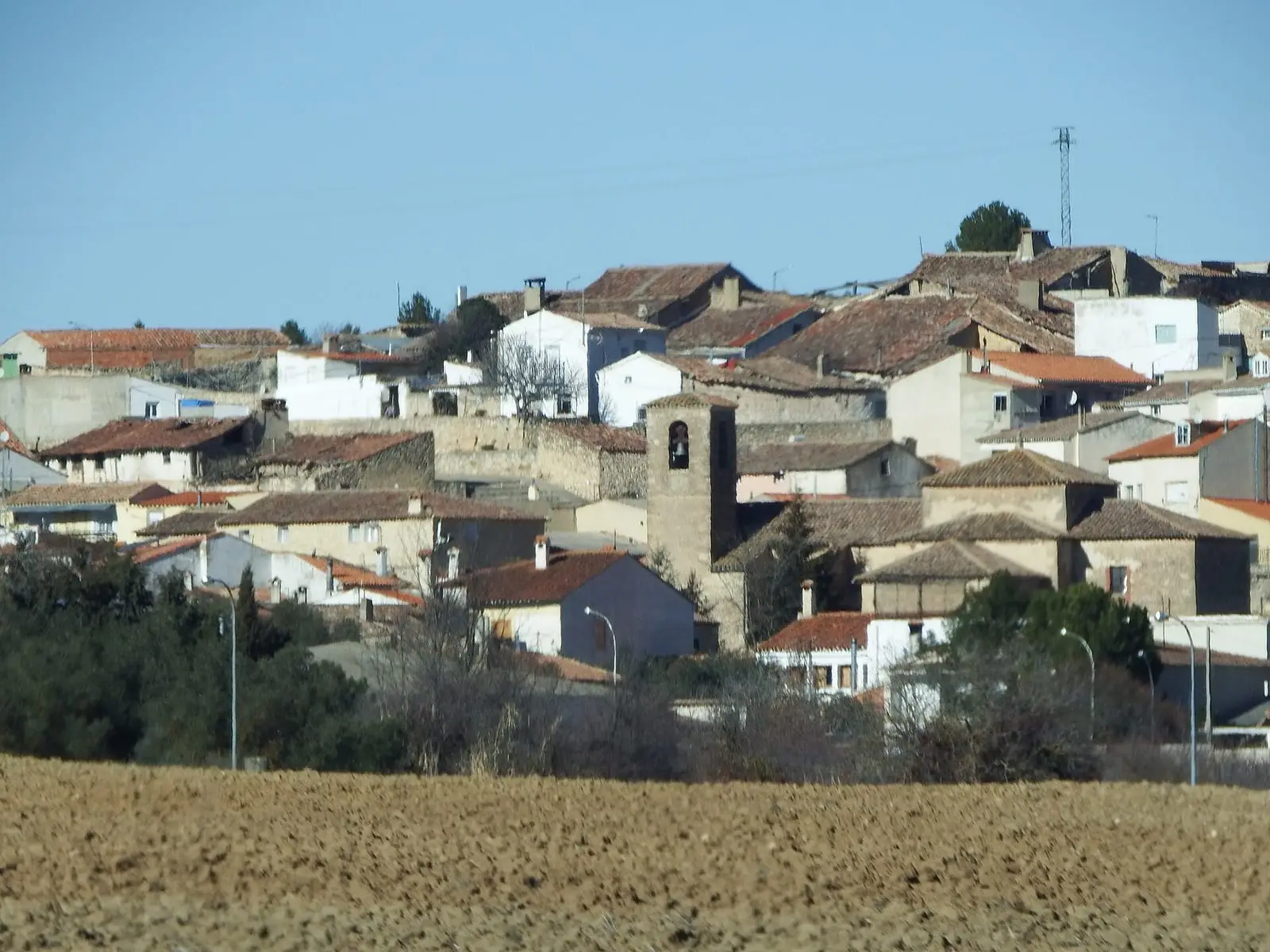
Arguisuelas is a village in the Serranía Baja (lower Serranía) of Cuenca, within the Valle del Cabriel Biosphere Reserve. It had 580 inhabitants in 1940 and 136 in 2021. A Roman cemetery and a votive inscription to Jupiter were documented at La Veguilla, linked to Valeria's territory.
On this page 10 sections
A village of plateau and pine forest
Arguisuelas lies in the Serranía Baja, about 50 km from Cuenca, within the Valle del Cabriel Biosphere Reserve. It is a village of high plateau and pine forest.
What trades and memory tell
In the La Veguilla area there was a Roman cemetery. In 1867 a brick tomb, iron coffin nails and a broken funerary slab were described there. A votive inscription to Jupiter and a funerary block that may have belonged to a mausoleum, from the early 1st century AD, also came from there; another funerary piece is kept in a village house. All lie in the territory of Valeria, the Roman city that organised this part of the province: Rome and lapis specularis.
Festivities and food
The patron saint is San Lorenzo, with a procession on 10 August, and the Virgen del Rosario is celebrated on 5 October. On 10 May people from Arguisuelas carry the Niño de la Bola in procession in Carboneras de Guadazaón, from the church to the convent of the Marquises of Moya. Food includes caldereta (meat stew), ajo arriero and morteruelo, and during the mayos, May songs, people drink zurra.
What Madoz recorded
In 1845, besides farmers and stockbreeders, Arguisuelas had three linen weavers, a spindle maker, two tailors and a shoemaker. The town council, with a budget of 5,500 reales, was funded by income from an oven and municipal lands.
Plan your visit
Arguisuelas is a quiet stopping place.
Before you travel
La Veguilla is an archaeological area unprepared for visitors: ask the town council and do not collect anything from the ground.
Combine with
Monteagudo de las Salinas and Carboneras de Guadazaón are about 7.5 km away as the crow flies.
Frequently asked questions
What was found at La Veguilla?
Remains of a Roman cemetery: a built tomb with bricks and iron nails described in 1867, a fragmented funerary slab, a votive inscription to Jupiter and a funerary block that may have formed part of a mausoleum.
How many people live in Arguisuelas?
136 in the 2021 census. The peak of 580 inhabitants was in 1940, according to the INE.
Carry on from here
The rivers, zones, eras, places and official routes that the atlas links with Arguisuelas.
Lands and landscapes
From here, follow the memory of the land
These readings connect Arguisuelas with the stories, the work and the villages around it.
Traces in the village and around it
Which eras you can read here
A single place can keep traces of several periods. These layers connect what you see with the atlas's stories.
Places in the municipality and around it
Near Arguisuelas

Las Hoyas
La Cierva
Fuente del Royo picnic area
Huerta del Marquesado
Prao de San Roque picnic area
Huerta del MarquesadoSee 5 more
Paisaje Ilustrado of Huerta del Marquesado
Huerta del Marquesado
Fuente de la Ardilla picnic area
Valdemeca
Beamud viewpoint
Beamud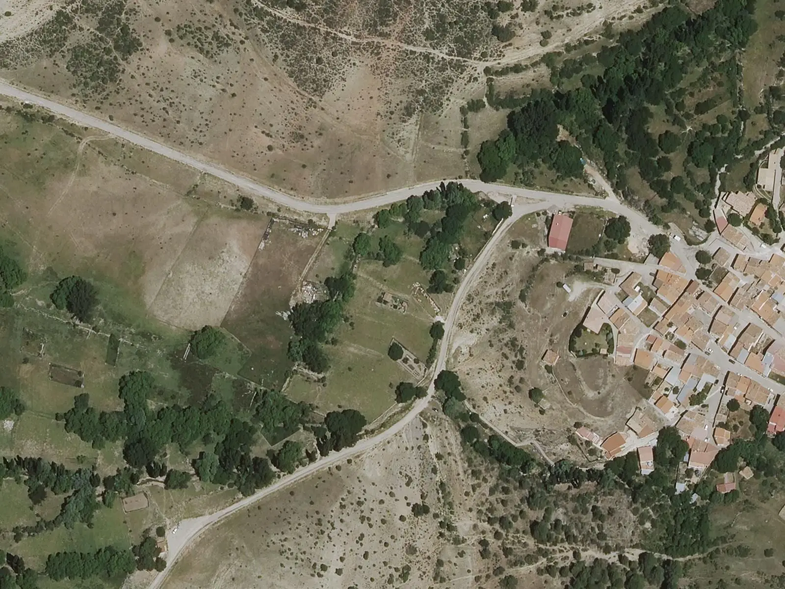
Fuente de los Pastores picnic area
Beamud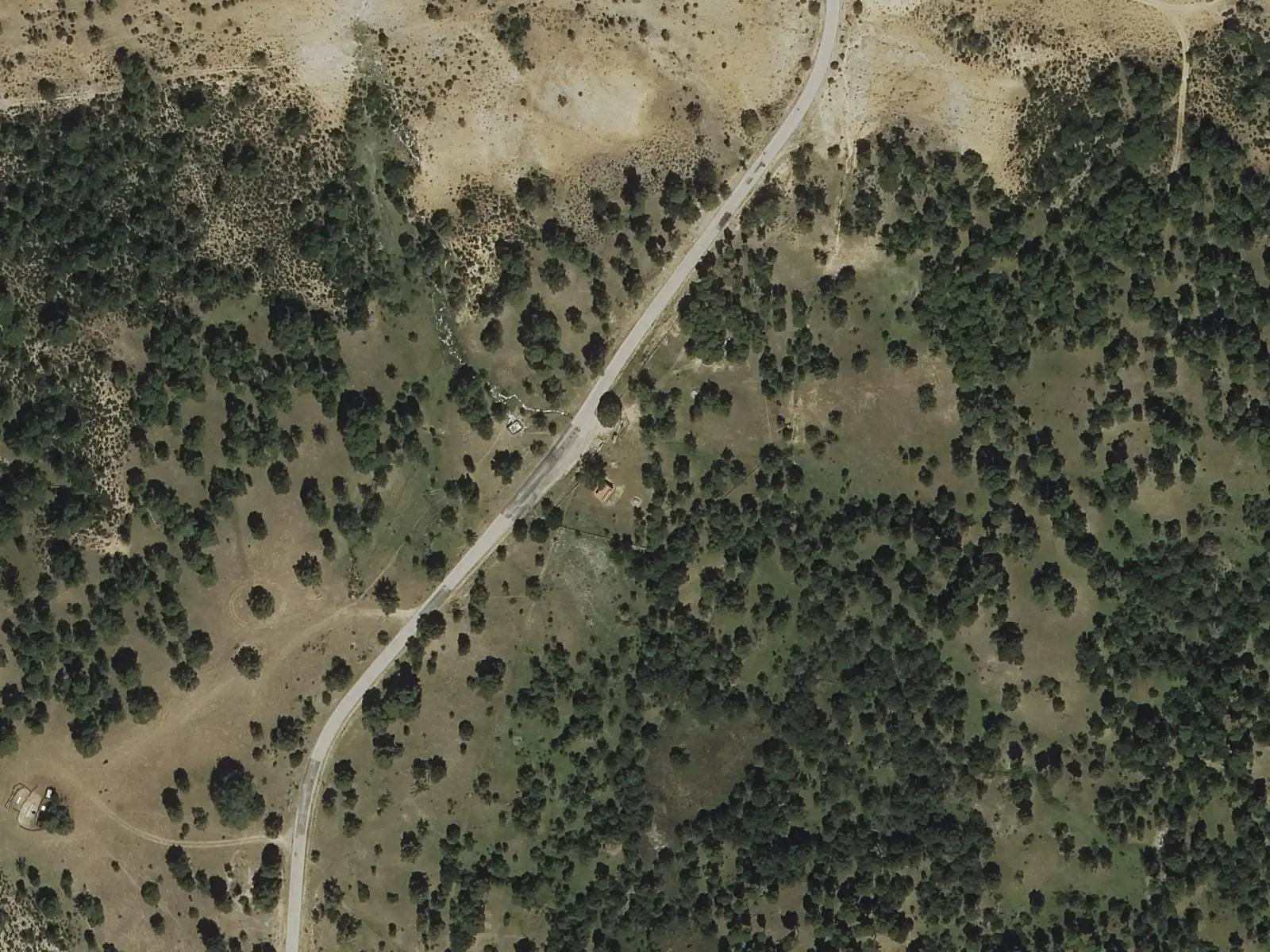
Fuente del Arenazo picnic area
CuencaPopulation of Arguisuelas, 1842–2021
Arguisuelas reached 580 inhabitants in 1940. The 2021 census counted 136, 77 % fewer. It is the story told in the emptying.
Climate in Arguisuelas month by month
Averages for the ten years from 2015 to 2024 from the ERA5 reanalysis (Copernicus), for a grid cell with a reference altitude of 1049 m. They are model estimates, not measurements from a local station or thirty-year climate normals.
Source: Copernicus ERA5 via Open-Meteo, CC BY 4.0. Retrieved: 2026-10-09.
Location
● Reference point · ● Villages · ● Places · ━ Routes nearby
Location sketch. The map with paths and names loads as you scroll to it.
Approximate position: village centre.
Reference villages: Monteagudo de las Salinas · Carboneras de Guadazaón · Reíllo · Yémeda.
Open the full map and its historical layers →Where the data on this page come from
- Location
- IGN: Nomenclátor Geográfico Básico de España, capital de municipio (CC BY 4.0) source consulted, 9 October 2026
«Source consulted»: the primary source has been read. «Reference located»: the source has been identified but not yet read. «Open question»: the figure needs confirmation.