Village · Cuenca
Fresneda de la Sierra
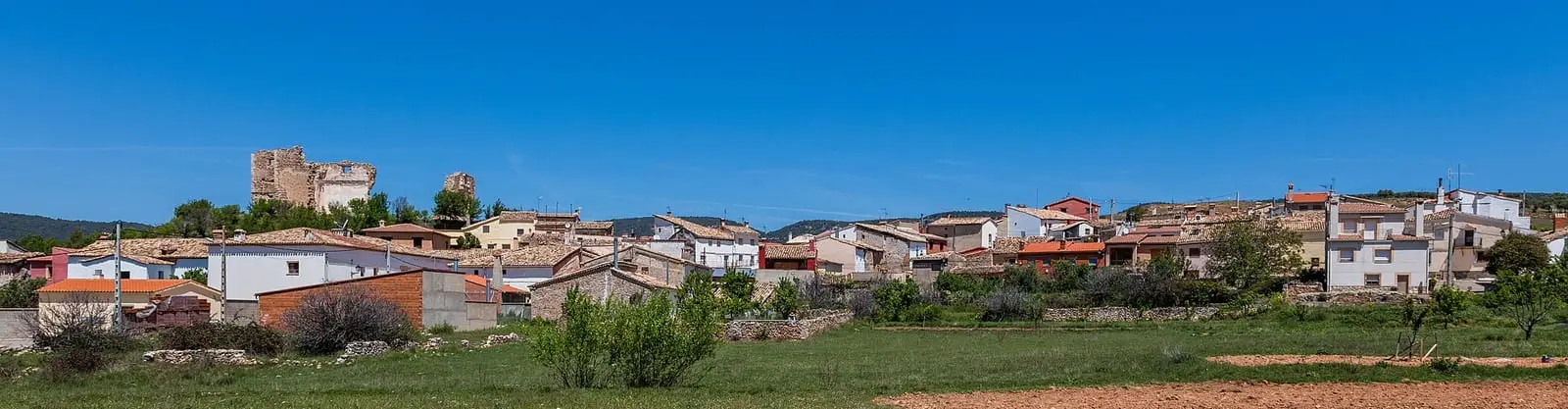
Fresneda de la Sierra is a village in the Serranía Media (middle Serranía) of Cuenca, 1.7 km from Castillejo-Sierra, named after ash trees. An official trail, the PR-CU 27, passes Portuguese-oak woods and springs to Prado de Navelía. It had 403 inhabitants in 1877 and 48 in 2021.
On this page 9 sections
A village of ash trees
Fresneda de la Sierra lies in the Serranía Media. Its name comes from the area’s ash trees, with «de la Sierra» (of the mountains) for its location. The parish is San Miguel Arcángel.
What the records tell
In 1847, according to Madoz’s dictionary, Fresneda lived from farming and working timber for buildings. The school had fifty children and no endowment. The town council’s entire budget, 750 reales, was the secretary’s pay, raised by a levy on villagers. Mail came from Cuenca on Saturdays with a carrier who returned the same day.
On 28 June and 4 July 1784, two hailstorms struck the crops of several mountain villages, including Fresneda. On 27 July the Gazeta de Madrid published the report sent from Cuenca, asking people with means to help the inhabitants.
Routes
The PR-CU 27 short-distance trail is 13.5 km through Portuguese-oak woods and springs to Prado de Navelía.
Plan your visit
Visit it together with Castillejo-Sierra and Arcos de la Sierra.
Before you travel
There are no facilities on the trail: take water.
Combine with
Castillejo-Sierra is 1.7 km away as the crow flies and Arcos de la Sierra 5.4.
Frequently asked questions
Where does Fresneda's name come from?
From the abundant ash trees in the area, with «de la Sierra» (of the mountains) added for its geographical location. This is the usual explanation, not a documented etymology.
Which trail starts from Fresneda?
The PR-CU 27, Ruta del Prado de Navelíar, 13.5 km, crossing Portuguese-oak woods and springs to Prado de Navelía.
Carry on from here
The rivers, zones, eras, places and official routes that the atlas links with Fresneda de la Sierra.
Lands and landscapes
From here, follow the memory of the land
These readings connect Fresneda de la Sierra with the stories, the work and the villages around it.
Official routes
Near Fresneda de la Sierra
Las Librerías viewpoint
Balcón de Pilatos viewpoint
Fuente de la Tía Perra picnic area
CuencaSee 5 more
Cruz de Solán viewpoint
Beteta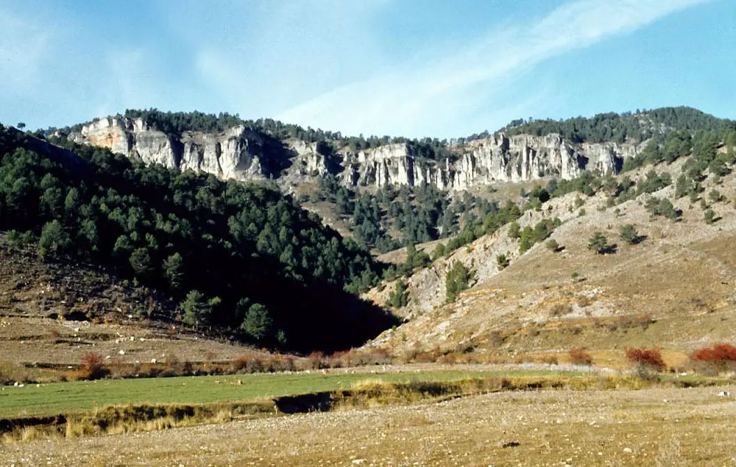
Los Lagunillos picnic area
Cuenca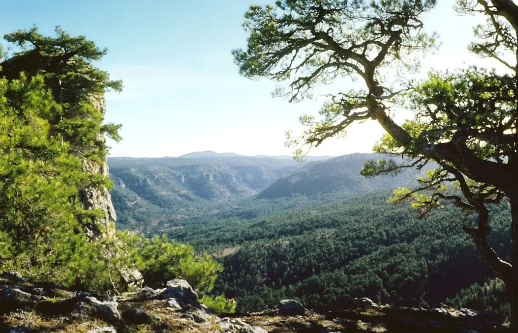
Peña del Reloj viewpoint
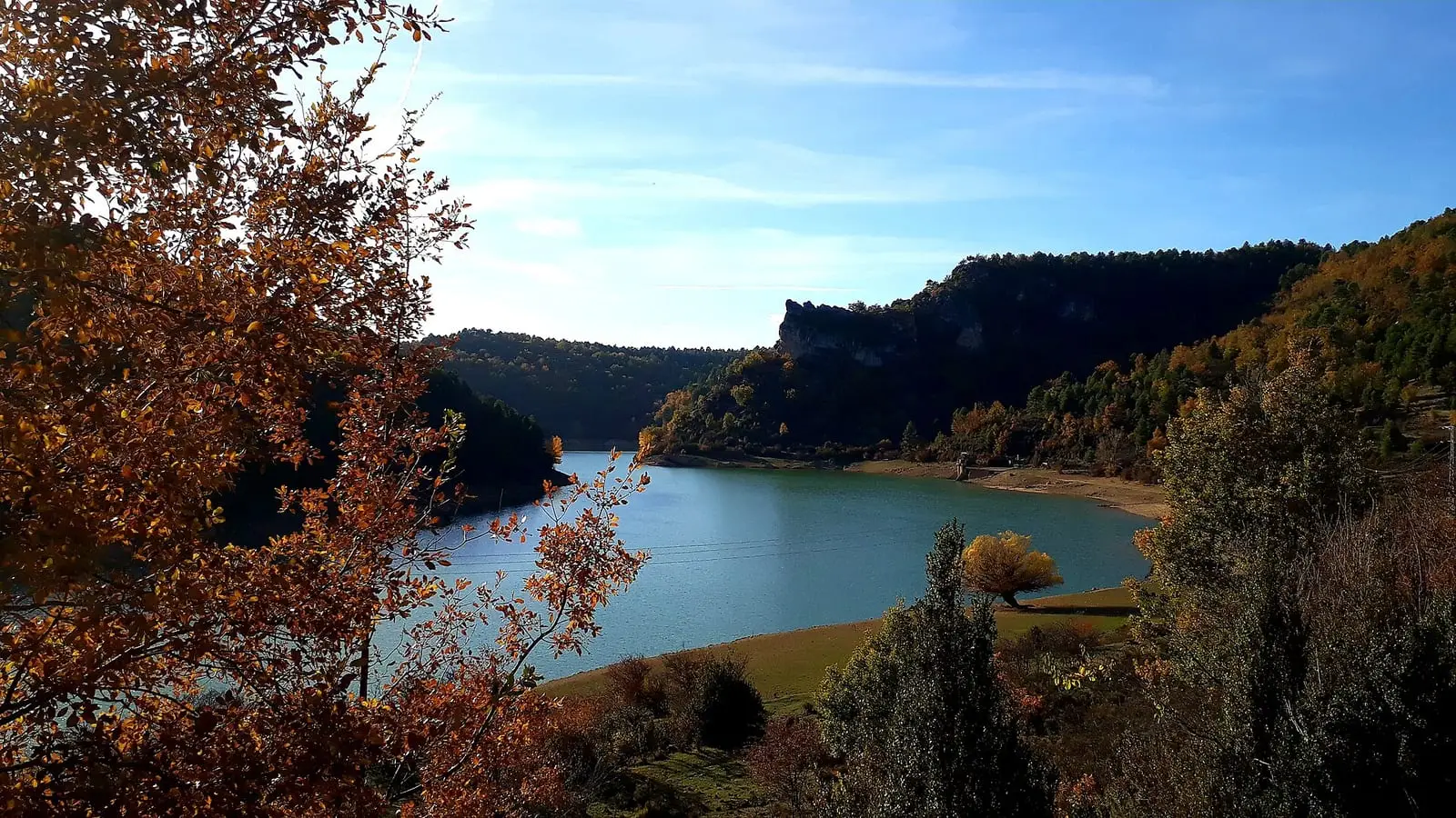
La Tosca reservoir
Santa María del Val
Armentero viewpoint
BetetaPopulation of Fresneda de la Sierra, 1842–2021
Fresneda de la Sierra reached 403 inhabitants in 1877. The 2021 census counted 48, 88 % fewer. It is the story told in the emptying.
Climate in Fresneda de la Sierra month by month
Averages for the ten years from 2015 to 2024 from the ERA5 reanalysis (Copernicus), for a grid cell with a reference altitude of 990 m. They are model estimates, not measurements from a local station or thirty-year climate normals.
Source: Copernicus ERA5 via Open-Meteo, CC BY 4.0. Retrieved: 2026-10-09.
Location
● Reference point · ● Villages · ● Places · ━ Routes nearby
Location sketch. The map with paths and names loads as you scroll to it.
Approximate position: village centre.
Reference villages: Castillejo-Sierra · Arcos de la Sierra · La Frontera · Poyatos.
Open the full map and its historical layers →Where the data on this page come from
- Location
- IGN: Nomenclátor Geográfico Básico de España, capital de municipio (CC BY 4.0) source consulted, 9 October 2026
«Source consulted»: the primary source has been read. «Reference located»: the source has been identified but not yet read. «Open question»: the figure needs confirmation.