Village · Cuenca
Castillejo-Sierra
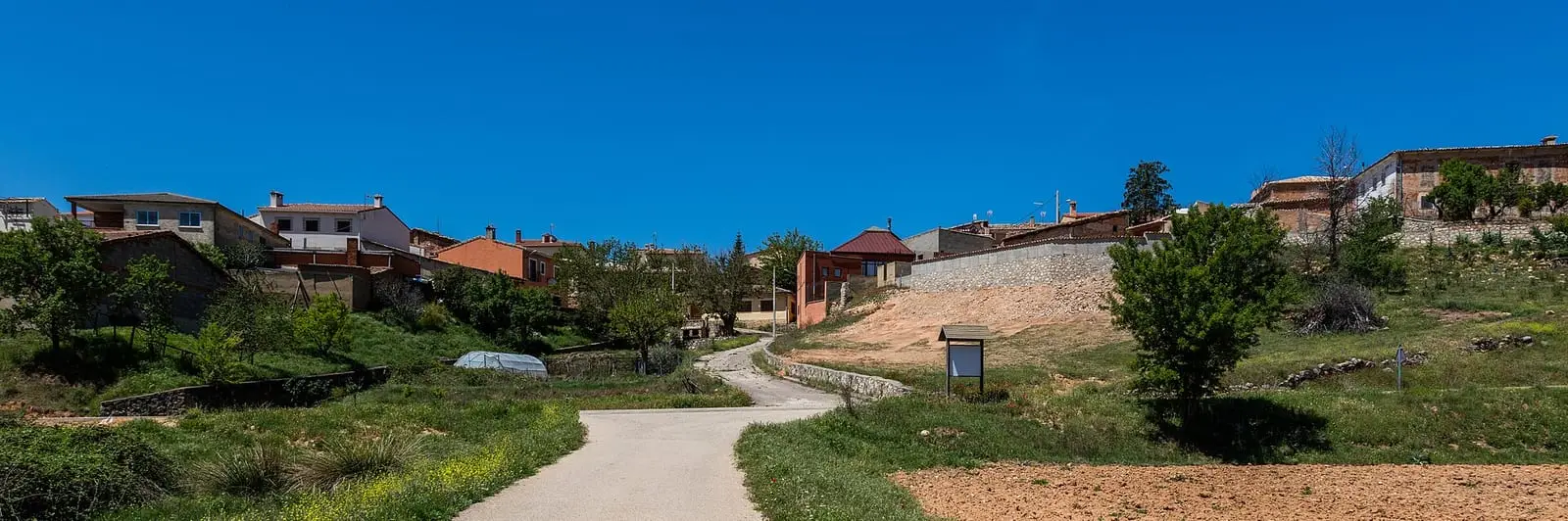
Castillejo-Sierra is a village in the Serranía Media (middle Serranía) of Cuenca, 1.7 km from Fresneda de la Sierra, with houses on steep streets and an official trail, the PR-CU 26, climbing to Calar del Sumidero with views of the Escabas. It had 423 inhabitants in 1940 and 28 in 2021: between 1960 and 1970 it lost more than half.
On this page 9 sections
A hillside village beside the Trabaque
Castillejo-Sierra lies in the Serranía Media near the Trabaque. It began in the Middle Ages, probably between the 12th and 13th centuries, beside the valley’s natural routes. Its houses descend narrow, steep streets, with the longstanding character of a mountain village.
The village overlooks holm-oak woods and cereal and sunflower fields from a knoll. Its La Asunción church, 16th-century according to the CuenCANP association, is in their view the largest in the Campichuelo; a comparison confirming this is missing. Upstream, the Trabaque rises in the Dehesa de los Olmos and passes Arcos de la Sierra; downstream it continues towards the villages of Sotorribas and, outside the Serranía, the willow-growing plains before joining the Escabas.
Routes
The PR-CU 26 short-distance trail is a 17 km circuit. It crosses the river plain on the old Poyatos cart road and climbs the Barranco de la Calera to Fuente del Resquicio. The climb does not ease until Calar del Sumidero, the highest point, overlooking the Escabas valley and Poyatos. It continues over the Cubas and Cañada Laite passes and descends to Prado de los Arroyos, the source of the village’s water. A steep track then follows the Fuente de la Herrería stream, facing the village and the ravine’s cleft, to Fuente de la Portera, with a picnic area at the entrance to the dehesa, wood pasture.
The La Portera shelter
Beside Fuente de la Portera is a stone shelter for transhumant shepherds: an enclosure with wooden fences for livestock and a room with a door, fireplace, wooden bunks and table for people. Alongside are a large water tank and a stone spring with a spout and a drinking trough in several sections, for livestock and shepherds. Guide Fernando Carreras believes the surrounding oaks were common ox pasture, but no document confirms it. Before reaching it, the Vallejo Millán alternates sunflower, wheat and barley with pine forest and Portuguese-oak woodland. He estimated about 15 km for the long circuit; the official PR-CU 26 description gives 17.
Plan your visit
The village takes a short time; the trail takes the day.
Before you travel
It is a long route with a sustained climb: start early and take water. There may be frost in winter.
Combine with
Fresneda de la Sierra is 1.7 km away as the crow flies and Arcos de la Sierra 3.9: the three link easily.
Frequently asked questions
Which trail starts from Castillejo-Sierra?
The PR-CU 26, Ruta de la Fuente de la Herrería: 17 km, 511 m of elevation gain and about 5 hours, through the river plain, Barranco de la Calera, Calar del Sumidero and Castillejo's dehesa.
How many people live there?
28 in the 2021 census. The peak was 423 in 1940, according to the INE.
Carry on from here
The rivers, zones, eras, places and official routes that the atlas links with Castillejo-Sierra.
Lands and landscapes
From here, follow the memory of the land
These readings connect Castillejo-Sierra with the stories, the work and the villages around it.
Official routes
Near Castillejo-Sierra
Las Librerías viewpoint
Balcón de Pilatos viewpoint
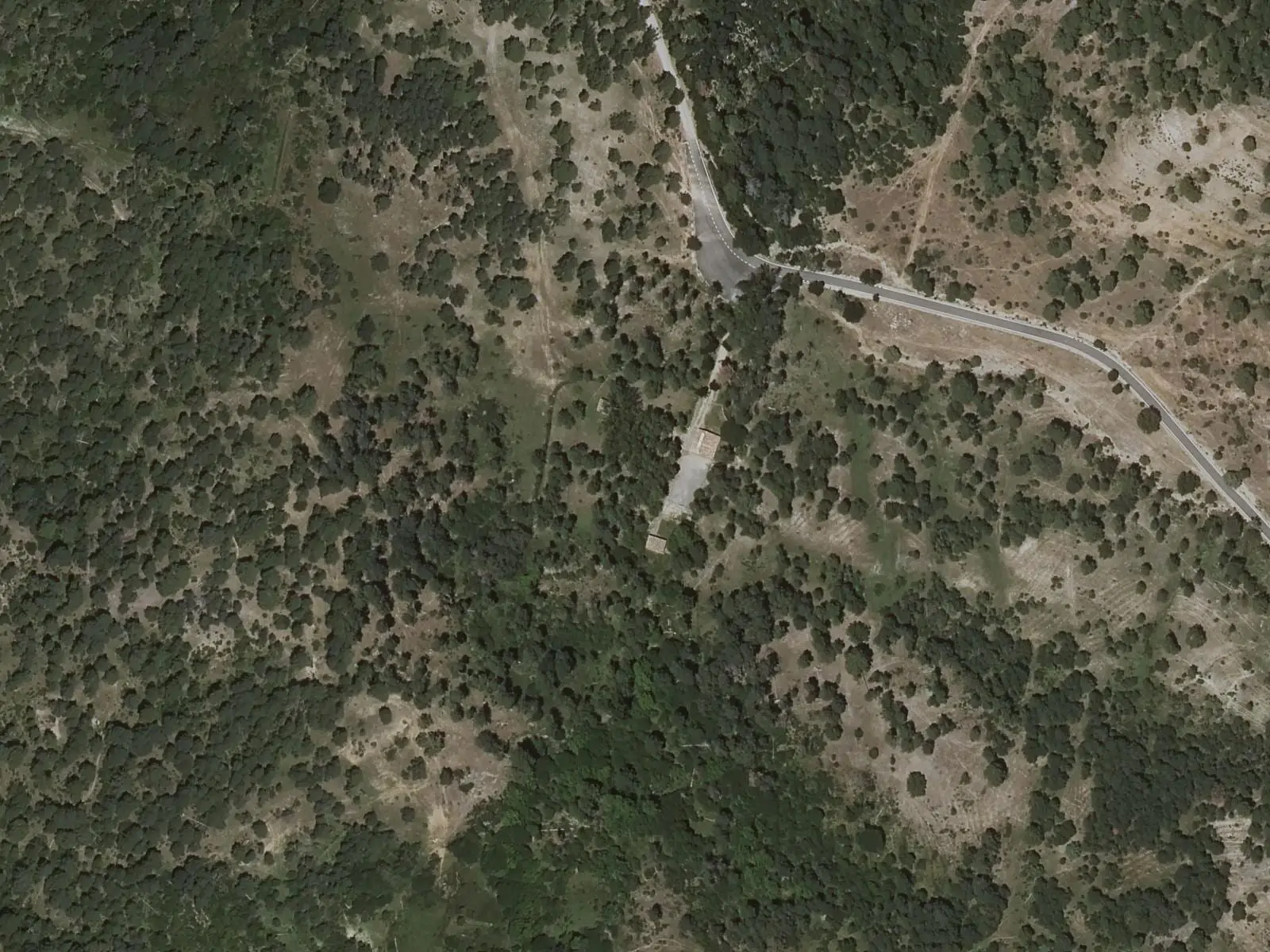
Fuente de la Tía Perra picnic area
CuencaSee 5 more
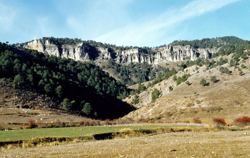
Los Lagunillos picnic area
Cuenca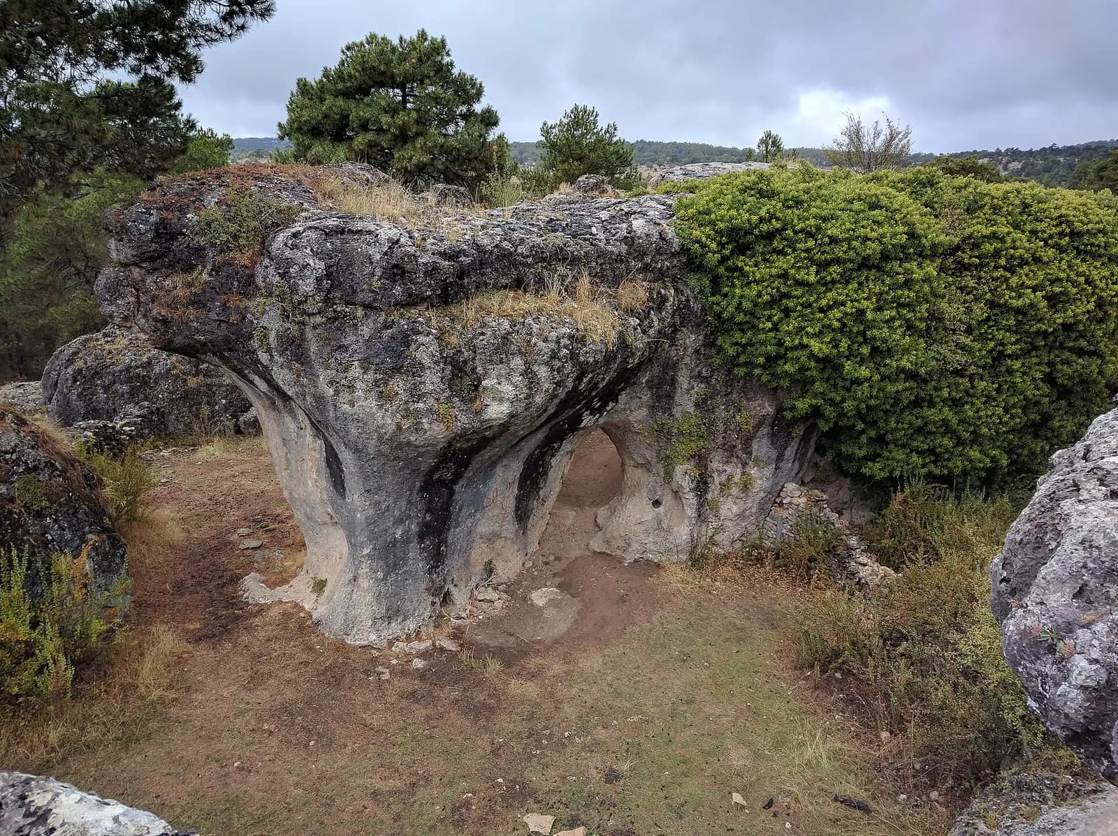
Callejones de Las Majadas
Las Majadas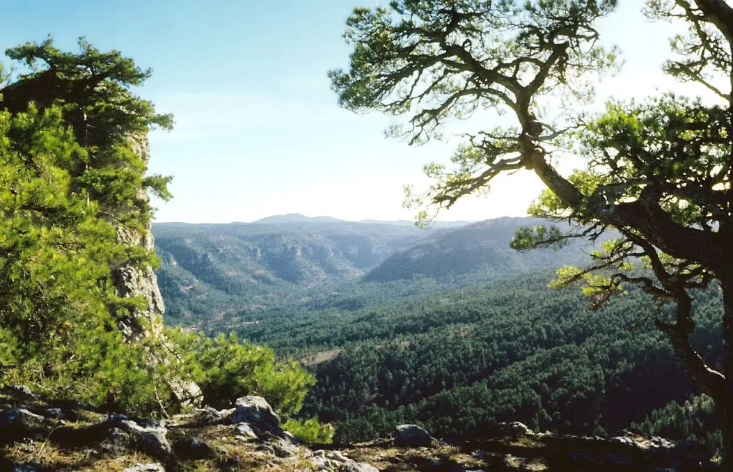
Peña del Reloj viewpoint
Cruz de Solán viewpoint
Beteta
Tío Cogote viewpoint
Las MajadasPopulation of Castillejo-Sierra, 1842–2021
Castillejo-Sierra reached 423 inhabitants in 1940. The 2021 census counted 28, 93 % fewer. It is the story told in the emptying.
Climate in Castillejo-Sierra month by month
Averages for the ten years from 2015 to 2024 from the ERA5 reanalysis (Copernicus), for a grid cell with a reference altitude of 1012 m. They are model estimates, not measurements from a local station or thirty-year climate normals.
Source: Copernicus ERA5 via Open-Meteo, CC BY 4.0. Retrieved: 2026-10-09.
Location
● Reference point · ● Villages · ● Places · ━ Routes nearby
Location sketch. The map with paths and names loads as you scroll to it.
Approximate position: village centre.
Reference villages: Fresneda de la Sierra · Arcos de la Sierra · La Frontera · Poyatos.
Open the full map and its historical layers →Where the data on this page come from
- Location
- IGN: Nomenclátor Geográfico Básico de España, capital de municipio (CC BY 4.0) source consulted, 9 October 2026
«Source consulted»: the primary source has been read. «Reference located»: the source has been identified but not yet read. «Open question»: the figure needs confirmation.