Village · Cuenca
Arcos de la Sierra
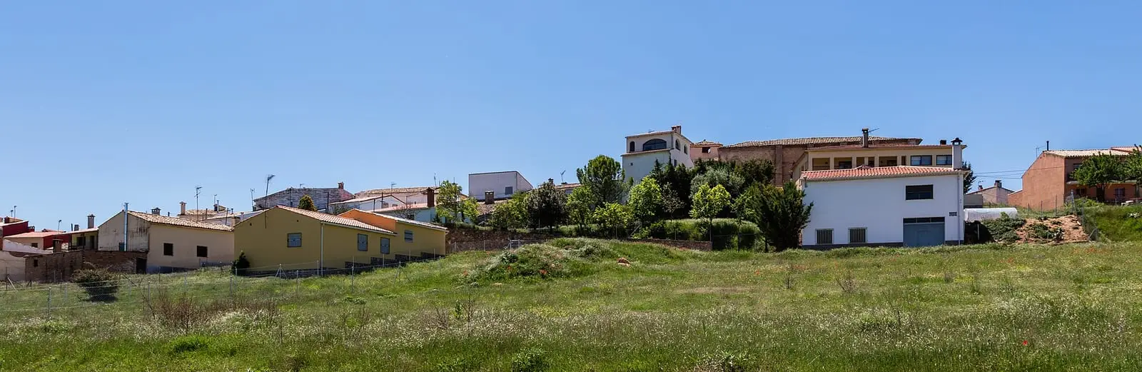
Arcos de la Sierra is a village in the Serranía de Cuenca Natural Park, on a hill beside the Trabaque, with a 12th-century late Romanesque church. It had 514 inhabitants in 1940 and 74 in 2021. Its municipality contains a saline spring, La Salobreja, and its cemetery preserves the memory of two guerrillas exhumed in 2006.
On this page 10 sections
A hill above the Trabaque
Arcos de la Sierra lies in the Serranía Media, within the Natural Park, high above the bank of the Trabaque. It is a small village of quiet streets, with pine forest across the horizon.
The church of La Asunción is late Romanesque, from the 12th century: a single masonry nave with buttresses, a bell gable with two openings above the east end and, inside, a barrel vault and a dome before the chancel. Its baptismal font is among the most often cited.
What trades and memory tell
La Salobreja rises in the municipality, a saltwater spring over Keuper clays. Names such as Salobreja, Salmuera or Arroyo Salado mark where salt emerges on the Serranía’s map; in Valsalobre it was exploited until 1982, as told in The Valsalobre saltworks.
In March 2006 remains attributed to two AGLA guerrillas, Julián Antón López, «El Valencia», and another known as «Navarro», killed by the Guardia Civil in 1950, were exhumed in the cemetery. This is the guerrilla grave of Arcos de la Sierra, described in The guerrilla in the Serranía.
The shepherds’ path to El Picayo
Above the Trabaque canyon, the Barranco de los Albogones leads up to El Picayo, at about 1,470 metres. Above, the limestone forms a tormagal of blocks and passages, and between the walls remain livestock shelters that guide Fernando Carreras links to the path along which Arcos shepherds took their livestock into the mountains. From the summit can be seen the Trabaque valley, the Dehesa de los Olmos, the village and the Campichuelo, among black pine, spiny broom, juniper and kermes oak; griffon vultures perch on the cliffs.
A village held on a ground rent
Arcos de la Sierra did not belong entirely to its inhabitants. In 1845 Madoz explained that the Marquis of Ariza retained the superior title and had granted them the village and all its territory under an emphyteutic lease: in return they paid him 144 fanegas of grain a year, half wheat and half rye. The town council, with accounts of about 1,500 reales, was funded by twenty fanegas of wheat from the horno de poya, a communal oven paid in bread, 601 reales from pasture and a levy on villagers for the rest.
Plan your visit
The village centre and church can be seen in an hour.
Before you travel
Ask the town council or parish when the church is open. Treat the cemetery with respect.
Combine with
Castillejo-Sierra and Fresneda de la Sierra are about 4 and 5 km away as the crow flies.
Frequently asked questions
Where is Arcos de la Sierra?
In the Serranía Media (middle Serranía) of Cuenca, within the Natural Park, on a hill beside the Trabaque. Castillejo-Sierra is about 4 km away and Fresneda de la Sierra about 5 as the crow flies.
What church does Arcos de la Sierra have?
Nuestra Señora de la Asunción, of late Romanesque origin and dating from the 12th century, with a single nave, a bell gable with two openings and a notable baptismal font.
What is La Salobreja?
A saline spring in the municipality on Keuper materials, described in a botanical study of 2007. Its name is among those, alongside Salmuera, Arroyo Salado or Valsalobre, indicating saline environments in the Serranía.
Carry on from here
The rivers, zones, eras, places and official routes that the atlas links with Arcos de la Sierra.
Lands and landscapes
From here, follow the memory of the land
These readings connect Arcos de la Sierra with the stories, the work and the villages around it.
War and guerrilla · memory of the land
The war in the village's memory
In March 2006 the remains attributed to two AGLA guerrillas, Julián Antón López, «El Valencia», and another known as «Navarro», killed by the Guardia Civil in 1950, were exhumed in the cemetery.
Source: Polo, Cruz y García (2010), arqueología y antropología forense de la represión franquista.
Read the story of the guerrilla →Places in the municipality and around it
Near Arcos de la Sierra
Las Librerías viewpoint
Balcón de Pilatos viewpoint
Fuente de la Tía Perra picnic area
CuencaSee 5 more
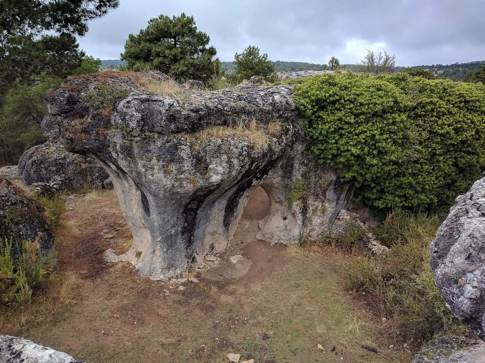
Callejones de Las Majadas
Las Majadas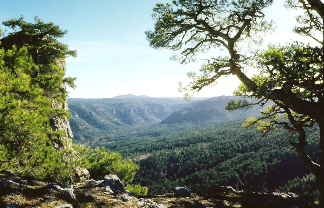
Peña del Reloj viewpoint
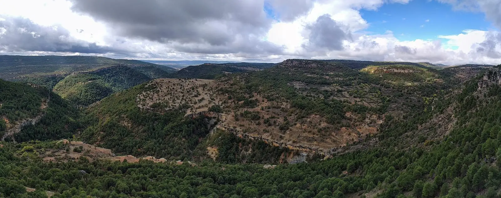
Tío Cogote viewpoint
Las Majadas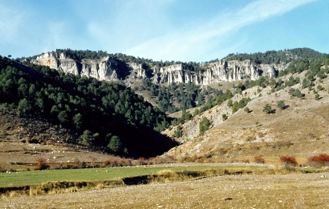
Los Lagunillos picnic area
Cuenca
Piedra Yunque
Villalba de la SierraPopulation of Arcos de la Sierra, 1842–2021
Arcos de la Sierra reached 514 inhabitants in 1940. The 2021 census counted 74, 86 % fewer. It is the story told in the emptying.
Climate in Arcos de la Sierra month by month
Averages for the ten years from 2015 to 2024 from the ERA5 reanalysis (Copernicus), for a grid cell with a reference altitude of 1001 m. They are model estimates, not measurements from a local station or thirty-year climate normals.
Source: Copernicus ERA5 via Open-Meteo, CC BY 4.0. Retrieved: 2026-10-09.
Location
● Reference point · ● Villages · ● Places · ━ Routes nearby
Location sketch. The map with paths and names loads as you scroll to it.
Approximate position: village centre.
Reference villages: Castillejo-Sierra · Fresneda de la Sierra · Portilla · Las Majadas.
Open the full map and its historical layers →Where the data on this page come from
- Name
- IGN, Equipamiento Geográfico de Referencia Nacional: nombre oficial y código INE source consulted, 5 October 2026
- Municipality (INE code)
- IGN, Equipamiento Geográfico de Referencia Nacional: nombre oficial y código INE source consulted, 5 October 2026
- Protected areas
- Ley 5/2007, de 8 de marzo, de Declaración del Parque Natural de la Serranía de Cuenca (DOCM) reference located, 5 October 2026
- Junta de Castilla-La Mancha, Educación Ambiental: ficha técnica de la exposición «Serranía de Cuenca» reference located, 5 October 2026
- Location
- IGN: Nomenclátor Geográfico Básico de España, capital de municipio (CC BY 4.0) source consulted, 9 October 2026
«Source consulted»: the primary source has been read. «Reference located»: the source has been identified but not yet read. «Open question»: the figure needs confirmation.
More about Arcos de la Sierra, told from the village: arcosdelasierra.com, with its museum and memory archive.