Place · Cuenca
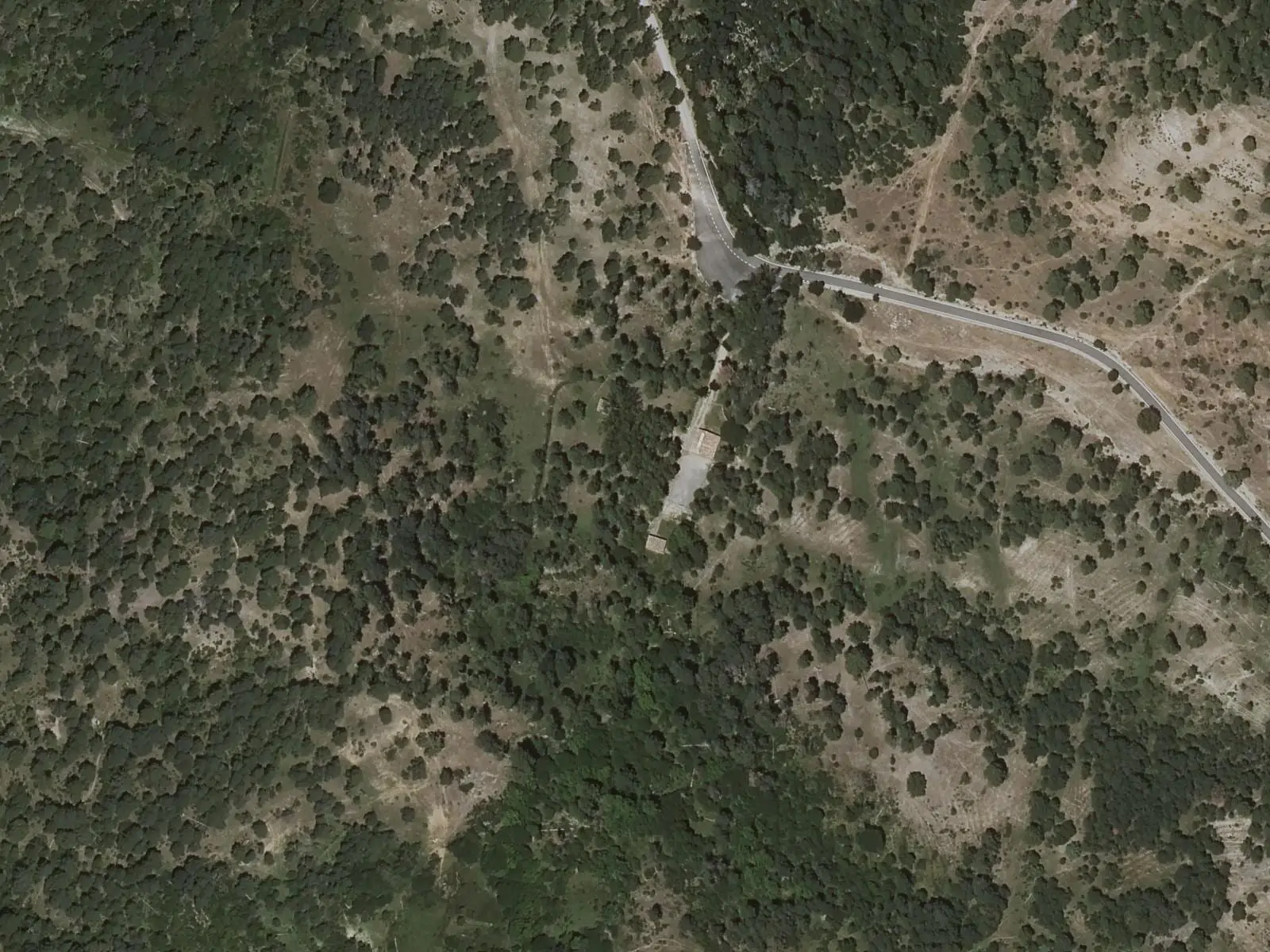
Fuente de la Tía Perra picnic area
Fuente de la Tía Perra is a picnic area in the Serranía de Cuenca Natural Park, within Cuenca municipality, 11 km from Las Majadas, among pines, Portuguese oaks, junipers and maples. It has a spring and tables, and is the start of PR-CU 104, the Dehesa de los Olmos trail.
- Municipality
- Cuenca
- Picnic area
- PR-CU 104
- Dehesa de los Olmos
- Las Majadas
One of eight picnic areas managed by the Natural Park, within Cuenca municipality. It has a mountain-water spring, tables and benches, surrounded by woodland of pines, Portuguese oaks, junipers and maples, species adapted to the cold at altitude.
It is the start of PR-CU 104, a short-distance trail towards Dehesa de los Olmos.
Good conduct
The Park does not collect rubbish: take your waste to the village bins. Fires are prohibited outside designated facilities and permitted seasons.
Combine with
Las Majadas is 11 km away, with Los Callejones and the Tío Cogote viewpoint.
Frequently asked questions
Which trail starts here?
PR-CU 104, the Dehesa de los Olmos trail, 14.5 km, with spurs to the Balcón de Pilatos, Trabaque river and Las Librerías viewpoints.
Carry on from here
Lands and landscapes
From here, follow the memory of the land
These readings connect Fuente de la Tía Perra picnic area with the stories, the work and the villages around it.
- Serranía MediaZone of the Serranía →
- Complejo Lagunar del río Moscas micro-reserveProtected area in the municipality →
- Cueva de los Morceguillos micro-reserveProtected area in the municipality →
- Nacimiento del río Cuervo Natural MonumentProtected area in the municipality →
- Palancares y Tierra Muerta Natural MonumentProtected area in the municipality →
- Serranía de Cuenca Natural ParkProtected area in the municipality →
- Serranía de Cuenca SAC and SPA (ES4230014)Protected area in the municipality →
Where it is
● Reference point · ● Villages · ● Places · ━ Routes nearby
Location sketch. The map with paths and names loads as you scroll to it.
Reference villages: Poyatos · Las Majadas · Vega del Codorno · Arcos de la Sierra.
Open the full map and its historical layers →Where the data on this page come from
- Name
- Rewilding España source consulted, 4 October 2026
- Turismo de Cuenca / Ayuntamiento de Cuenca source consulted, 4 October 2026
- Location
- Rewilding España source consulted, 4 October 2026
- Village
- Junta de Castilla-La Mancha, Parque Natural de la Serranía de Cuenca: Área recreativa Fuente de la Tía Perra (municipio: Cuenca) source consulted, 14 October 2026
- Municipality (INE code)
- Junta de Castilla-La Mancha, Parque Natural de la Serranía de Cuenca: Área recreativa Fuente de la Tía Perra (municipio: Cuenca) source consulted, 14 October 2026
«Source consulted»: the primary source has been read. «Reference located»: the source has been identified but not yet read. «Open question»: the figure needs confirmation.