Viewpoint
Peña del Reloj viewpoint
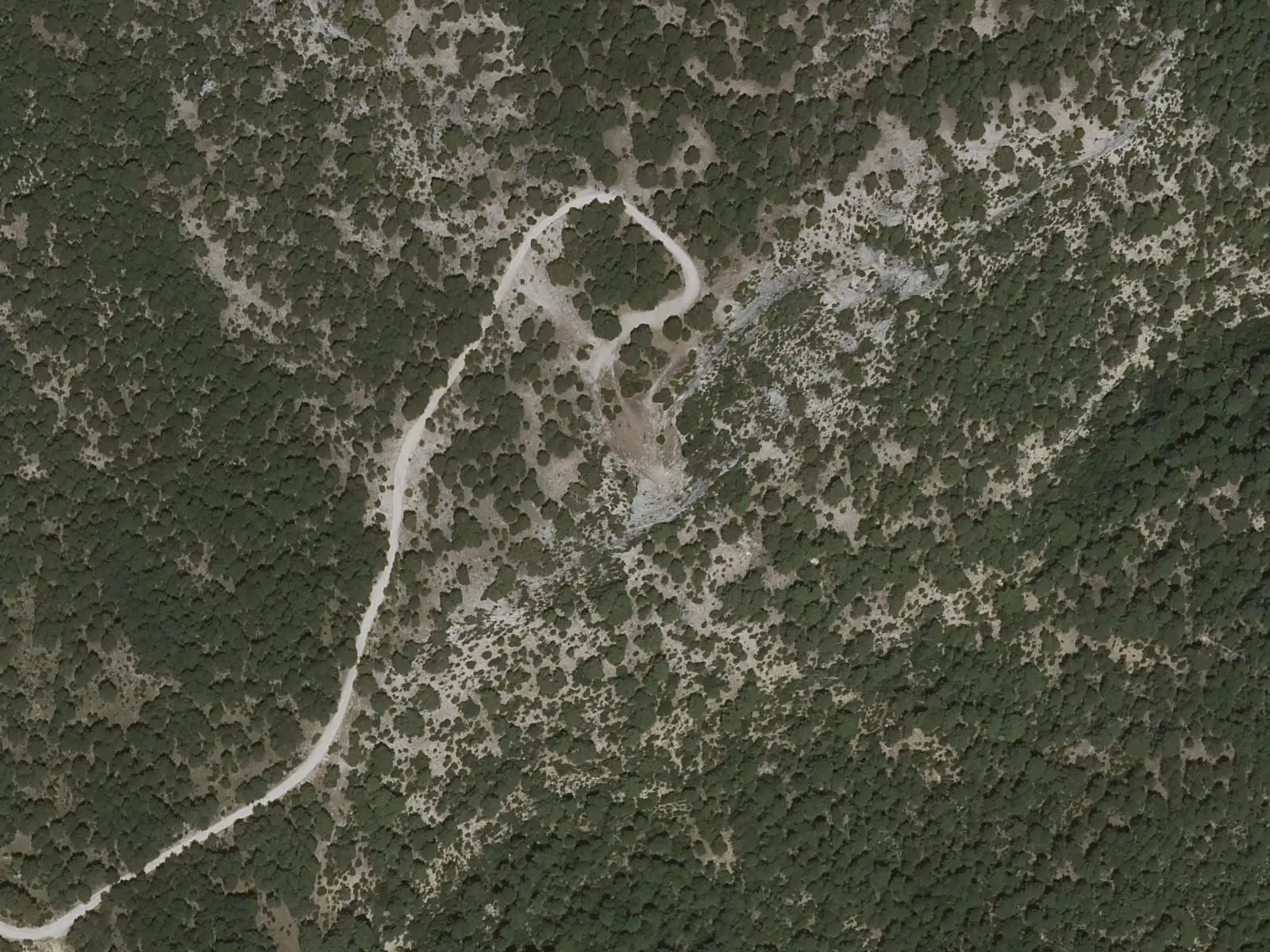
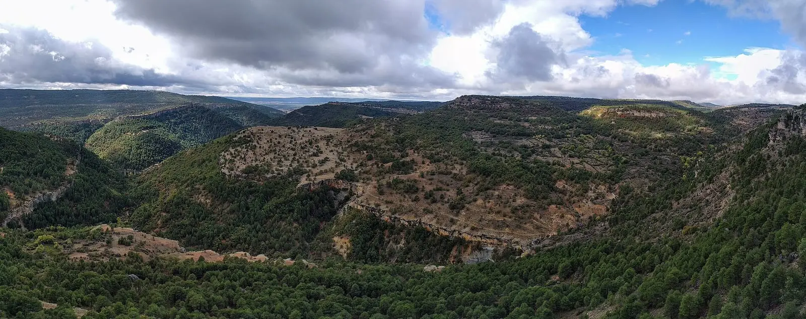
Peña del Reloj viewpoint lies in the Serranía de Cuenca Natural Park, beside El Hosquillo's western boundary. It overlooks the enclosed upper Escabas valley, among forests and rock walls, and the Park guide includes it among the essential visits on the Muela de la Madera.
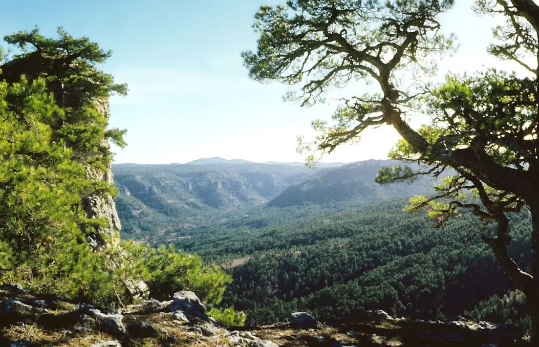
- Viewpoint
- Escabas
- Muela de la Madera
- El Hosquillo
- Natural Park
Above the upper Escabas
The Muela de la Madera occupies the centre of the Natural Park and has no villages. At its edge, beside the western boundary of El Hosquillo, Peña del Reloj overlooks the enclosed Escabas valley in its uppermost reaches. Below, the still young river runs among pine forests; opposite stand the rock walls and formations that give the hills their character.
It is the same valley through which gancheros, river timber drivers, took timber downstream: The gancheros of the Escabas and Guadiela.
Plan your visit
Before you travel
The Park guide lists it among the stops worth making in the central area. This viewpoint stands at the edge: do not go beyond the designated area.
Combine with
El Hosquillo, by prior booking, and the Los Lagunillos picnic area in the same Escabas valley.
Frequently asked questions
What can be seen from the viewpoint?
The enclosed upper Escabas valley, with pine forests and the Natural Park's most characteristic rock formations.
Where is it?
In the centre of the Park, on the Muela de la Madera, beside the western boundary of the Parque Cinegético Experimental de El Hosquillo.
Carry on from here
Where it is
● Reference point · ● Villages · ● Places · ━ Routes nearby
Location sketch. The map with paths and names loads as you scroll to it.
Reference villages: Vega del Codorno · Tragacete · Las Majadas · Poyatos.
Open the full map and its historical layers →More viewpoints nearby
See all →
Where the data on this page come from
- Name
- Rewilding España source consulted, 4 October 2026
- Location
- Rewilding España source consulted, 4 October 2026
«Source consulted»: the primary source has been read. «Reference located»: the source has been identified but not yet read. «Open question»: the figure needs confirmation.