Viewpoint · Beteta
Armentero viewpoint
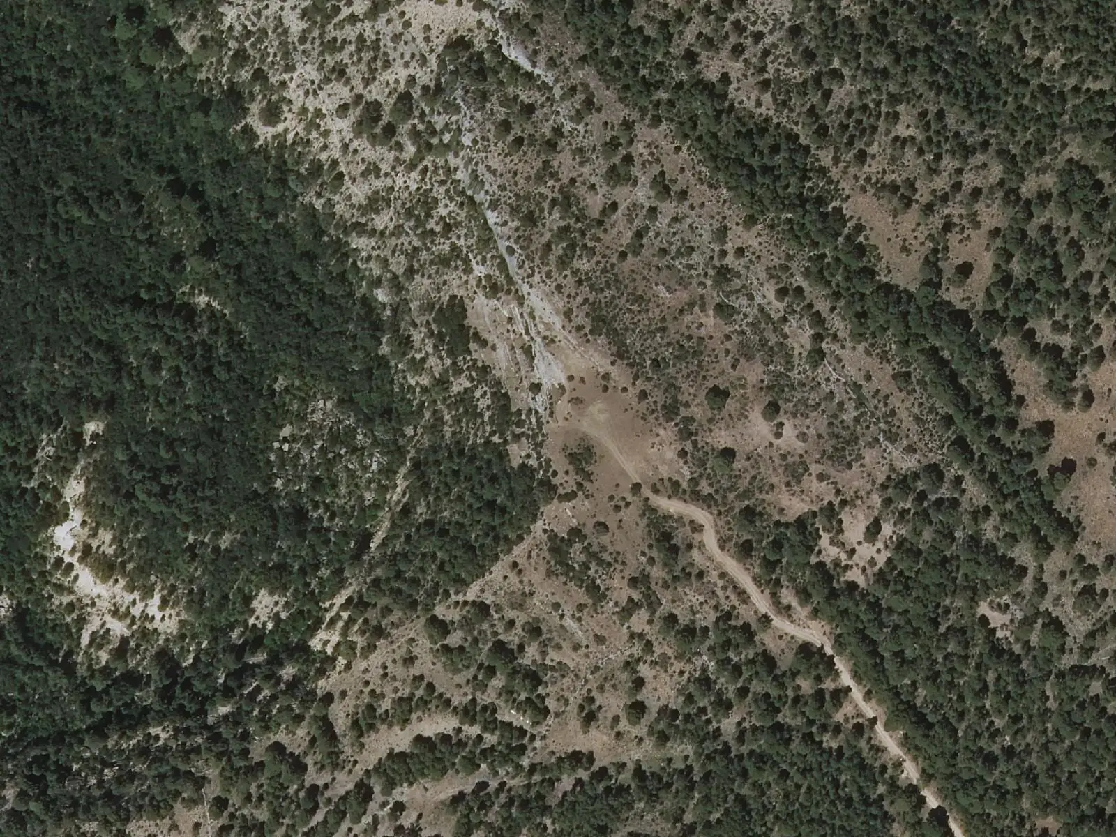
Armentero viewpoint is at the end of the trail from Fuente de los Tilos to Cueva del Armentero, in the Hoz de Beteta y Sumidero de Mata Asnos Natural Monument. Beyond Cueva de la Ramera, a short, very steep climb leads to a lookout above the Guadiela gorge, overlooking one of the Sistema Ibérico's most prominent anticlines.
- Municipality
- Beteta
- Viewpoint
- Hoz de Beteta
- Guadiela
- Anticline
- Cueva de la Ramera
At the top of the climb
The trail starts at the Fuente de los Tilos picnic area, passes the Los Tilos weir and reaches the stairs to Cueva de la Ramera, 20 metres above the river. From there it continues to the Cueva del Armentero. The final stretch gains considerable height over a short distance, with the viewpoint at the top, also called Beteta viewpoint by the regional government of Castilla-La Mancha.
It looks into the Hoz de Beteta and onto an anticline in its walls: layers of rock folded into an arch by the forces that raised the hills.
Plan your visit
Before you travel
It is 2.3 km each way, of moderate difficulty, and around 3 hours out and back. There is shade for almost the entire route.
Combine with
The village of Beteta and its Rochafría castle.
Frequently asked questions
How do you get there?
On the trail from Fuente de los Tilos to Cueva del Armentero: 2.3 km one way, moderate difficulty, around 3 hours out and back, with a steep final section.
What can be seen?
The Hoz de Beteta from above and, in its walls, an arch-shaped rock fold, one of the finest anticlines in the Sistema Ibérico.
Carry on from here
Lands and landscapes
From here, follow the memory of the land
These readings connect Armentero viewpoint with the stories, the work and the villages around it.
Where it is
● Reference point · ● Villages · ● Places · ━ Routes nearby
Location sketch. The map with paths and names loads as you scroll to it.
Reference villages: Cañizares · Beteta · Carrascosa · Fuertescusa.
Open the full map and its historical layers →More viewpoints nearby
See all →
Where the data on this page come from
- Name
- Rewilding España source consulted, 4 October 2026
- Location
- Rewilding España source consulted, 4 October 2026
- Village
- Junta de Castilla-La Mancha, Monumento Natural Hoz de Beteta: Fuente de los Tilos - Cueva del Armentero (municipio: Beteta) source consulted, 14 October 2026
- Municipality (INE code)
- Junta de Castilla-La Mancha, Monumento Natural Hoz de Beteta: Fuente de los Tilos - Cueva del Armentero (municipio: Beteta) source consulted, 14 October 2026
«Source consulted»: the primary source has been read. «Reference located»: the source has been identified but not yet read. «Open question»: the figure needs confirmation.