Village · Cuenca
Graja de Campalbo
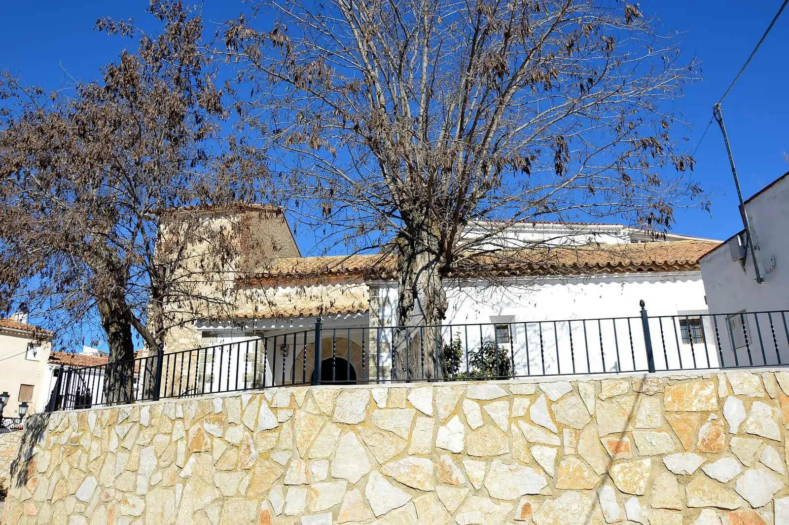
Graja de Campalbo is a village in the Serranía Baja (lower Serranía) of Cuenca, beside the Valencia boundary and within the Valle del Cabriel Biosphere Reserve. On the Talayuelas boundary lies Remolcador, a spur with a stretch of wall cautiously attributed to the Later Iron Age. It had 338 inhabitants in 1920 and 91 in 2021.
On this page 8 sections
A village beside Valencia
Graja de Campalbo lies in the Serranía Baja, very close to the province of Valencia, within the Valle del Cabriel Biosphere Reserve. It is a village of cold plateau.
What trades and memory tell
On a spur at the Talayuelas boundary lies Remolcador: the collapsed remains of a stone structure with a stretch of wall standing. A few pottery fragments on the slope suggest the Later Iron Age, but its function and period of use are unknown. It is covered with the area’s other sites in Cerro Viejo.
In 1847 Graja’s town council had a budget of 800 reales, funded mainly by income from the village oven; the shortfall was shared among villagers.
Plan your visit
A short stop on a route through the eastern Serranía Baja.
Before you travel
Remolcador is in the hills, unsignposted: ask the town council before going and do not touch the wall.
Combine with
Talayuelas, with its lake, is 5.7 km away as the crow flies, and Santa Cruz de Moya 6.6.
Frequently asked questions
What is Remolcador?
A spur on the boundary between Graja de Campalbo and Talayuelas where Díaz-Andreu and Montero observed a possible collapsed stone structure and a stretch of wall. There is no pottery inside the structure; attribution to the Later Iron Age rests on a few worn fragments on the slope.
How many people live in Graja de Campalbo?
91 in the 2021 census. The peak was 338 in 1920, according to the INE.
Carry on from here
The rivers, zones, eras, places and official routes that the atlas links with Graja de Campalbo.
Lands and landscapes
From here, follow the memory of the land
These readings connect Graja de Campalbo with the stories, the work and the villages around it.
Near Graja de Campalbo

Fuente del Royo picnic area
Huerta del Marquesado
Prao de San Roque picnic area
Huerta del MarquesadoPaisaje Ilustrado of Huerta del Marquesado
Huerta del MarquesadoSee 5 more

Fuente de la Ardilla picnic area
Valdemeca
Las Hoyas
La CiervaPaisaje Ilustrado of Valdemeca
Valdemeca
Valdemeca Visitor Reception Centre
Valdemeca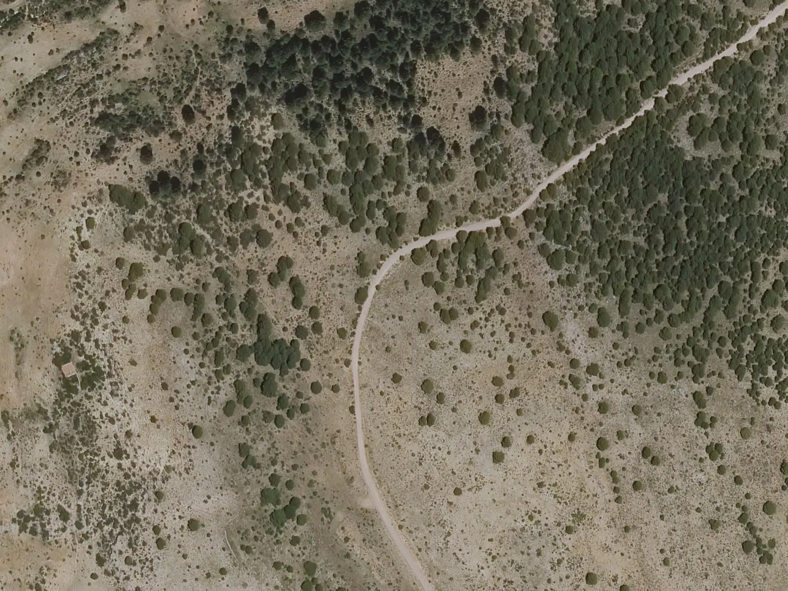
Centenar viewpoint
ValdemecaPopulation of Graja de Campalbo, 1842–2021
Graja de Campalbo reached 338 inhabitants in 1920. The 2021 census counted 91, 73 % fewer. It is the story told in the emptying.
Climate in Graja de Campalbo month by month
Averages for the ten years from 2015 to 2024 from the ERA5 reanalysis (Copernicus), for a grid cell with a reference altitude of 1101 m. They are model estimates, not measurements from a local station or thirty-year climate normals.
Source: Copernicus ERA5 via Open-Meteo, CC BY 4.0. Retrieved: 2026-10-09.
Location
● Reference point · ● Villages · ● Places · ━ Routes nearby
Location sketch. The map with paths and names loads as you scroll to it.
Approximate position: village centre.
Reference villages: Talayuelas · Santa Cruz de Moya · Landete · Moya.
Open the full map and its historical layers →Where the data on this page come from
- Location
- IGN: Nomenclátor Geográfico Básico de España, capital de municipio (CC BY 4.0) source consulted, 9 October 2026
«Source consulted»: the primary source has been read. «Reference located»: the source has been identified but not yet read. «Open question»: the figure needs confirmation.