Village · Cuenca
Moya
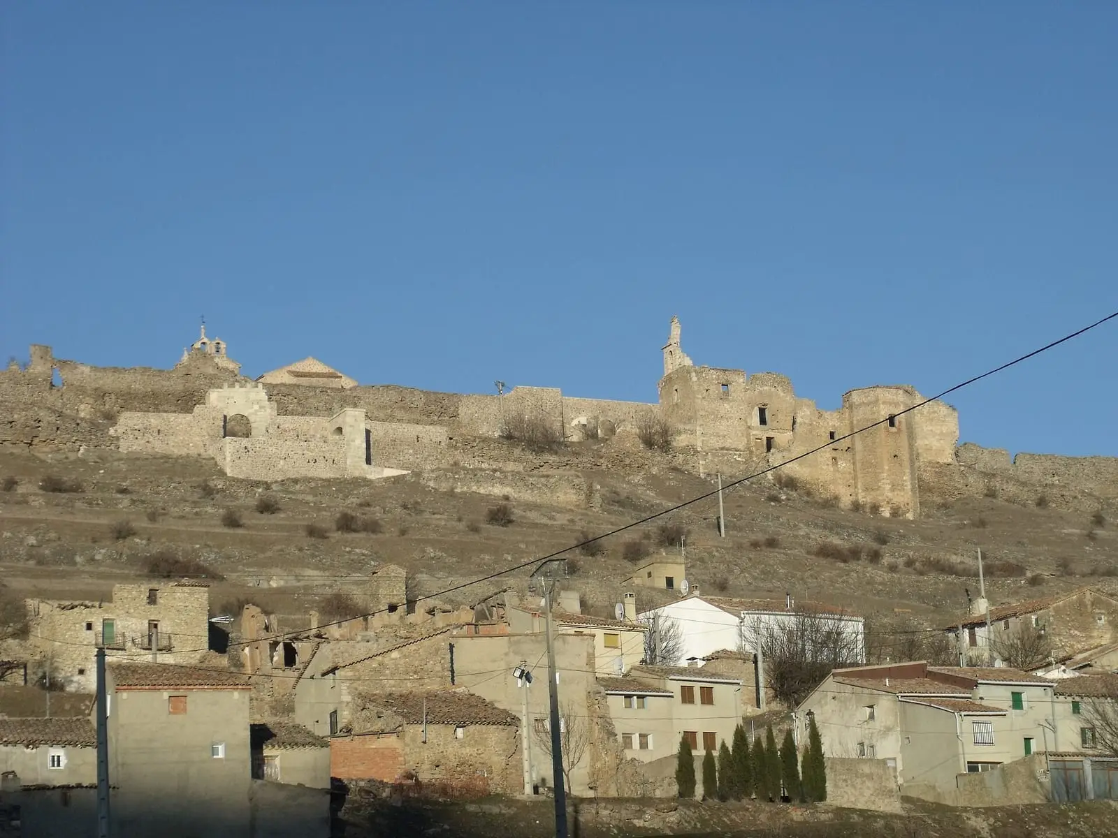
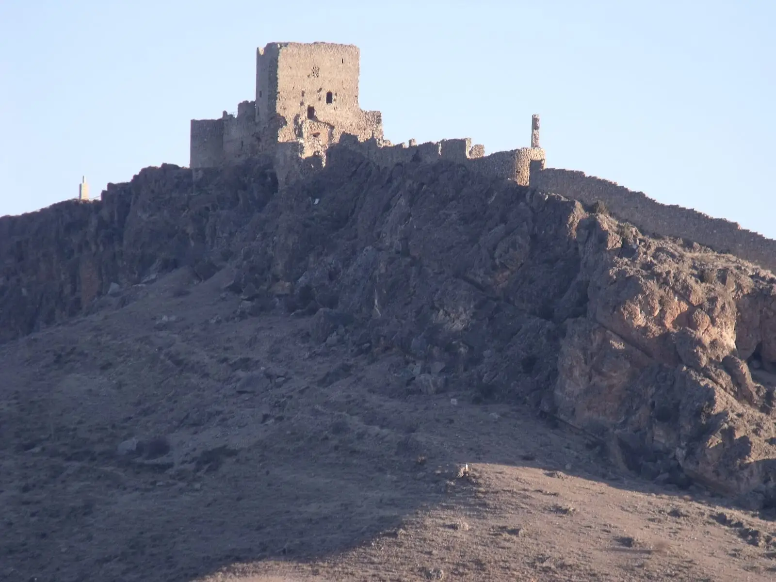
Moya is a deserted walled town that gave its name to the former lordship and marquisate of Moya, in the far east of Cuenca province: five enclosures, eight gates and a ruined castle, designated a historic ensemble since 1982. Alfonso VIII resettled it in 1210. It had 1,740 inhabitants in 1930 and 130 in 2021.
On this page 9 sections
The town that gave the marquisate its name
Moya lies in the far east of the province, in Serranía Baja (lower Serranía), within the Valle del Cabriel Biosphere Reserve. The old town on the hilltop is deserted: its last resident left in the 1950s. It is surrounded by five walled enclosures with eight gates, the castle between the Albacara and the fourth enclosure and, on the slope, the coracha, a defensive wall linking the town to its water supply, with the Torre del Agua. The historic ensemble has been protected since 1982.
Alfonso VIII resettled Moya around 1210 and gave it a charter, now lost. In 1211 the Casa de la Merced was founded, a hospital for ransoming captives; in 1234 the council and commander signed an agreement over six Muslim captives who had escaped from it.
What trades and memory tell
Moya was the seat of a corregidor and a court, with six parishes and several convents. In the late 18th century it lost those functions, Cañete became the district centre, the parishes were reduced to two and ten convents closed. In 1629 the Marquis of Moya was licensed to extract iron, silver and gold at Pico Ranera. In 1975 the castle ruins were auctioned for the fifth time, for 50,000 pesetas.
Before the town there were Iberians. At Cerro Viejo a settlement of about 8 hectares has been identified, perhaps the area’s central place, and there was another beneath the castle, not yet delimited. There are further surface sites, such as Cambretas–Barrachina, Las Lomas and El Aseteado, all unexcavated.
Carters of timber, water and firewood
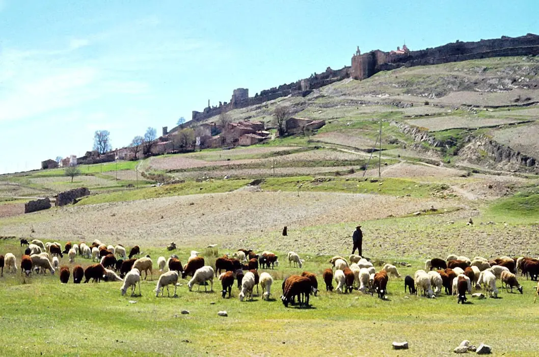
The Ensenada Cadastre of 1752 shows a municipality living from pine. Carts drawn by male mules, female mules or oxen carried timber from felling and dressing sites to the Turia, at the La Olmeda watering place in Santa Cruz de Moya, from where it floated downstream. There were carters in the town and every village and hamlet along the timber route: Santo Domingo, Pedro Izquierdo, Barranco Montoya, Asturias, El Angosto, La Pacheca and Los Huertos. In Santo Domingo, 18 of its 25 householders were carters. Typically a cart with a pair of male or female mules earned 400 reales a year, and some people shared a cart. Three residents had two carts each; the highest earner was the town’s priest, with 2,250 reales, the same as Gabriel de Almazán, who also acted as an intermediary for a Valencian timber company. Those from Santo Domingo and Pedro Izquierdo continued the trade until the mid-20th century, hired from many parts of Spain.
Other carters lived from bringing water and firewood up to the town. Moya stands on high ground: drinking water had to be brought from a spring at the foot of the coracha, or rainwater collected in cisterns, and firewood lay far away. Notaries, the corregidor, the castle governor, priests, nuns and noble families paid for it; in 1752 about fifteen householders in the town and suburb earned between 200 and 900 reales a year this way.
Plan your visit
The town is a ruin on a slope, with changes of level and unstable walls. Explore slowly, following the paths.
Before you travel
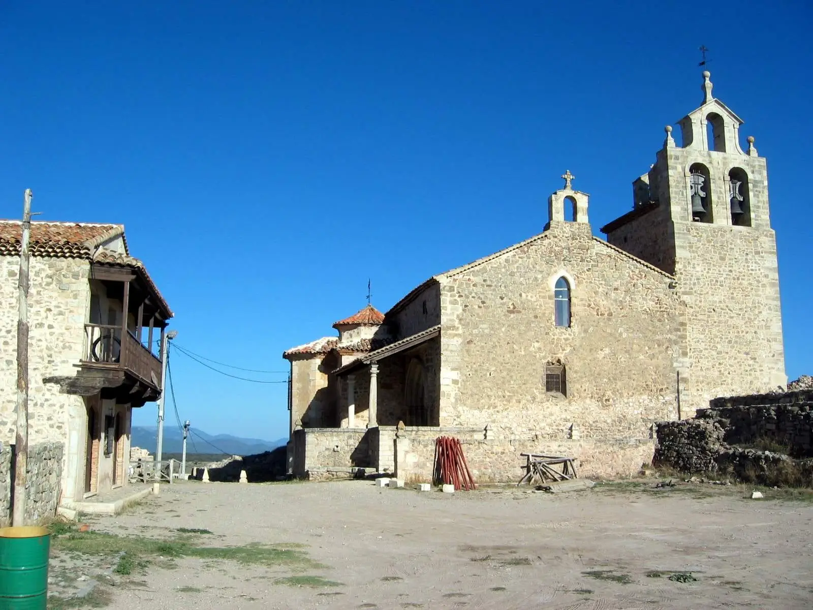
Do not climb walls or remove anything from the ground: it forms part of the archaeological site. In May 2024 the Town Council resumed guided tours of the town, starting at San Bartolomé church, converted into a reception centre; confirm days and times with the Council before visiting.
Combine with
Fuentelespino de Moya and Landete complete Moya’s former territory.
From the archive
Frequently asked questions
What is Moya?
A medieval walled town, now deserted, which headed the lordship and marquisate of Moya, with five enclosures and eight gates. It has been a historic-artistic ensemble since Royal Decree 2726/1982 of 3 September.
When was it founded?
Alfonso VIII resettled it in 1210 and granted it a charter. The charter does not survive: it is known through a retrospective letter of 1625 by castle governor Baltasar Cavallón.
How many inhabitants does it have?
130 in the 2021 census. Its peak was 1,740 in 1930, according to the INE.
Carry on from here
The rivers, zones, eras, places and official routes that the atlas links with Moya.
Lands and landscapes
From here, follow the memory of the land
These readings connect Moya with the stories, the work and the villages around it.
Traces in the village and around it
Which eras you can read here
A single place can keep traces of several periods. These layers connect what you see with the atlas's stories.
Places in the municipality and around it
Near Moya

Fuente del Royo picnic area
Huerta del Marquesado
Prao de San Roque picnic area
Huerta del MarquesadoPaisaje Ilustrado of Huerta del Marquesado
Huerta del MarquesadoSee 5 more

Fuente de la Ardilla picnic area
Valdemeca
Las Hoyas
La CiervaPaisaje Ilustrado of Valdemeca
Valdemeca
Valdemeca Visitor Reception Centre
Valdemeca
Centenar viewpoint
ValdemecaPopulation of Moya, 1842–2021
Moya reached 1,740 inhabitants in 1930. The 2021 census counted 130, 93 % fewer. It is the story told in the emptying.
Location
● Reference point · ● Villages · ● Places
Location sketch. The map with paths and names loads as you scroll to it.
Approximate position: village centre.
Reference villages: Casas de Garcimolina · Landete · Algarra · Santa Cruz de Moya.
Open the full map and its historical layers →Where the data on this page come from
- Location
- IGN: NGBE, capital de municipio, origen NGMEP (CC BY 4.0) source consulted, 9 October 2026
«Source consulted»: the primary source has been read. «Reference located»: the source has been identified but not yet read. «Open question»: the figure needs confirmation.