Viewpoint · Valdemeca
Centenar viewpoint
Centenar viewpoint stands on the final stretch of the Casa del Cura trail (PR-CU 105), descending towards Valdemeca beyond the limestone cliffs of Las Cordilleras. It overlooks the valley and Sierra de Valdemeca, a rodeno sandstone range with distinctive flora within the Serranía de Cuenca Natural Park.
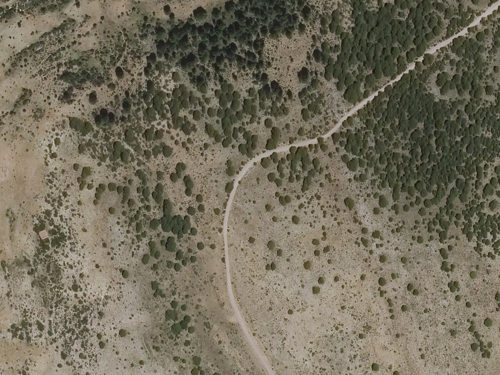
- Municipality
- Valdemeca
- Viewpoint
- Valdemeca
- PR-CU 105
- Las Cordilleras
- Rodeno
The end of the Casa del Cura route
The PR-CU 105, a PR (short-distance trail), leaves Valdemeca, climbs an old bridle path to the meadows of Casa del Cura, where transhumant livestock stayed in summer, and returns via Huerta de los Descalzos. Beyond the limestone cliffs of Las Cordilleras, on the descent, stands the viewpoint.
Opposite lies the Sierra de Valdemeca: siliceous rocks, its own microclimate and flora highly valued by the Park guide, with Erica australis heaths among the vegetation most important to conserve.
Plan your visit
Before you travel
The trail is 15.6 km long and of high difficulty. There is a shelter in the former oven at Casa del Cura.
Combine with
The visitor centre and the Paisaje Ilustrado.
Frequently asked questions
How do you get there?
On the PR-CU 105, the Casa del Cura trail: 15.6 km of high difficulty from Valdemeca visitor centre. The viewpoint stands on the final descent towards the village.
Carry on from here
Lands and landscapes
From here, follow the memory of the land
These readings connect Centenar viewpoint with the stories, the work and the villages around it.
Where it is
● Reference point · ● Villages · ● Places · ━ Routes nearby
Location sketch. The map with paths and names loads as you scroll to it.
Reference villages: Valdemeca · Huélamo · Beamud · Laguna del Marquesado.
Open the full map and its historical layers →More viewpoints nearby
See all →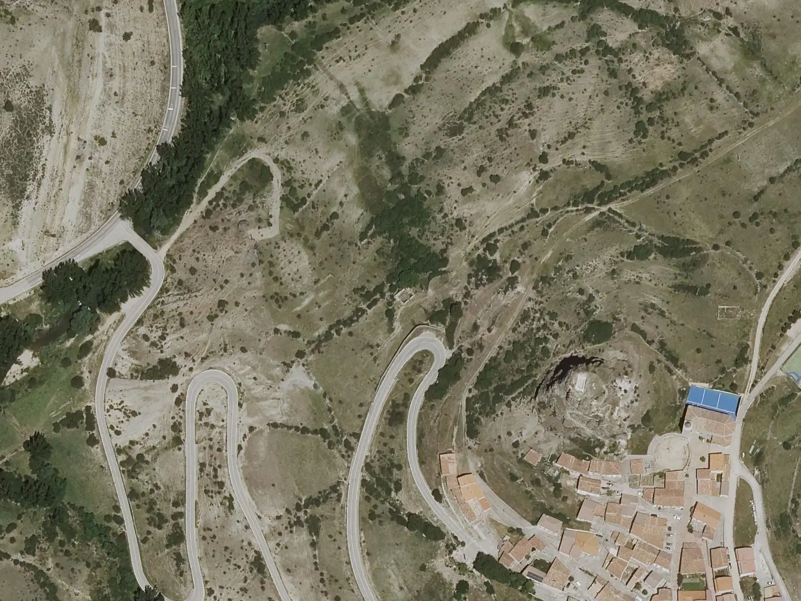

Where the data on this page come from
- Name
- Rewilding España source consulted, 4 October 2026
- Municipality (INE code)
- Rewilding España source consulted, 4 October 2026
- Location
- Rewilding España source consulted, 4 October 2026
«Source consulted»: the primary source has been read. «Reference located»: the source has been identified but not yet read. «Open question»: the figure needs confirmation.