Route · Cuenca
PNSC-S9: Itinerario interpretativo del area recreativa de los Lagunillos
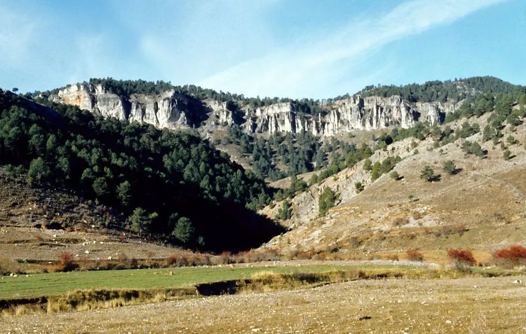
PNSC-09 is an easy 1 km Natural Park interpretive trail taking about 30 minutes through the Los Lagunillos picnic area, following the upper Escabas upstream in a pine-forested valley.
- Code
- PNSC-S9
- Distance
- 1 km
- Time
- 30 min
- Layout
- Circular
- Difficulty
- Easy
Walking time without travel or stops. Difficulty as graded by the official source. «Easy» does not mean accessible.
- PNSC-09
- Los Lagunillos
- Escabas
- Natural Park
Where to start
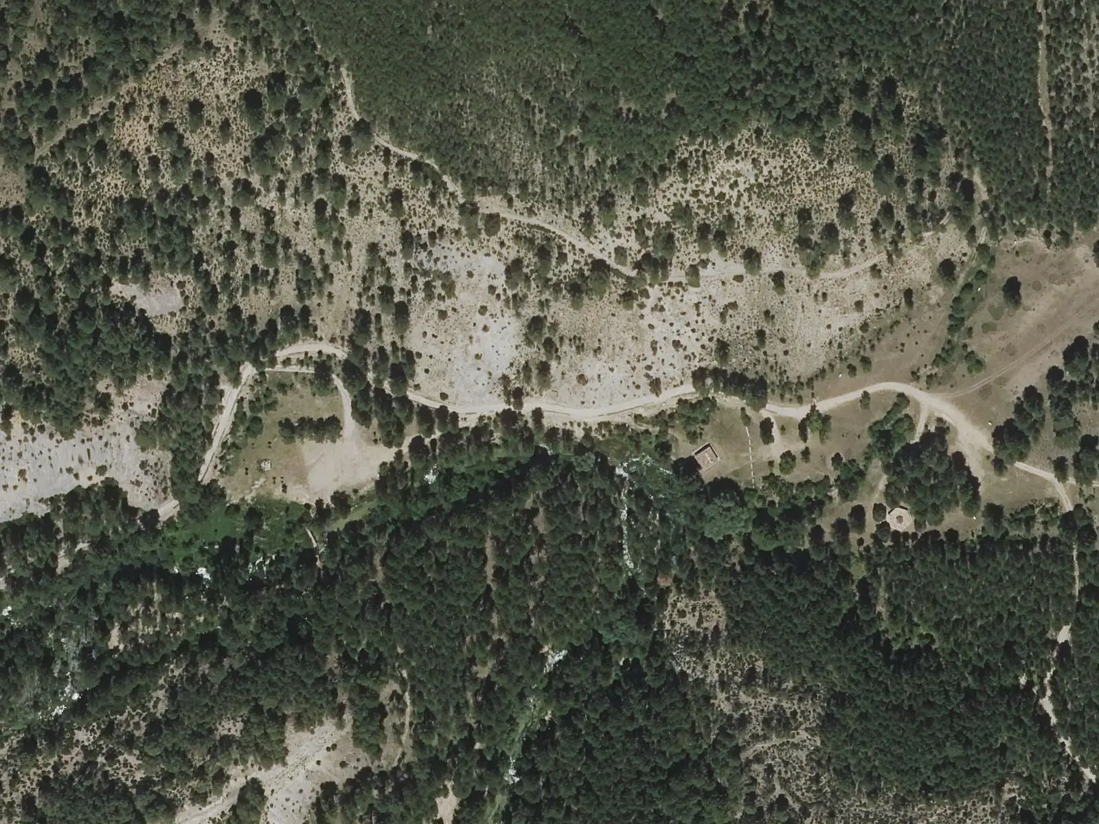
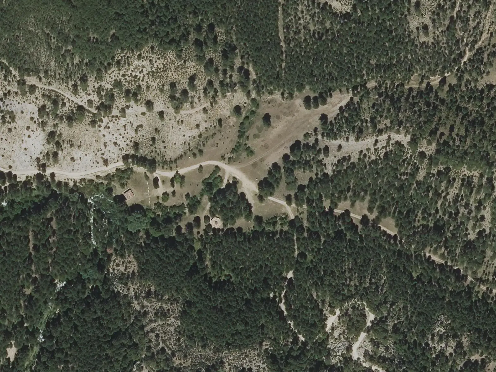
At the Los Lagunillos picnic area. Access is along the forest road from Las Majadas to Vega del Codorno and Poyatos: on the Escabas valley floor, beside the bridge, a small signposted road branches towards Lagunillos.
The route
A short walk with panels about what the Natural Park holds, on the upper Escabas: a valley of large pine forests enclosed by canyons, escarpments and other karst forms. It ends at the Lagunillo, the small lake naming the area, which the regional government asks visitors not to miss. This is the river at its headwaters, before it becomes the river of the gancheros, river timber drivers: The gancheros of the Escabas and Guadiela.
Difficulty and time
Circular, 1 km, about 30 minutes. Easy, with summer shade.
Before you set out
It can be walked all year, but in winter snow or ice may close access. Nearby are El Hosquillo and the Peña del Reloj viewpoint. More about the river in Escabas.
Official route · Junta de Comunidades de Castilla-La Mancha. Description, track and notices on the official route page (in Spanish). Before you set out, check there for changes or closures.
Frequently asked questions
How long is it?
1 km, about 30 minutes, easy.
How do you get there?
By following the upper Escabas upstream, according to Cuenca Tourism.
Carry on from here
Lands and landscapes
From here, follow the memory of the land
These readings connect Itinerario interpretativo del area recreativa de los Lagunillos with the stories, the work and the villages around it.
- Serranía MediaZone of the Serranía →
- Complejo Lagunar del río Moscas micro-reserveProtected area in the municipality →
- Cueva de los Morceguillos micro-reserveProtected area in the municipality →
- Nacimiento del río Cuervo Natural MonumentProtected area in the municipality →
- Palancares y Tierra Muerta Natural MonumentProtected area in the municipality →
- Serranía de Cuenca Natural ParkProtected area in the municipality →
- Serranía de Cuenca SAC and SPA (ES4230014)Protected area in the municipality →
Where it is
● Villages · ● Places · ━ Simplified official route
Location sketch. The map with paths and names loads as you scroll to it.
Reference villages: Vega del Codorno · Poyatos · Tragacete · Las Majadas.
Open the full map and its historical layers →Download GPX track · Official source · GPX converted from the official KML.
Where the data on this page come from
- Name
- Junta de Comunidades de Castilla-La Mancha — Parque Natural source consulted, 4 October 2026
- Turismo de Cuenca / Ayuntamiento de Cuenca source consulted, 4 October 2026
- Turismo de Cuenca / Ayuntamiento de Cuenca source consulted, 4 October 2026
- Municipality (INE code)
- Junta de Comunidades de Castilla-La Mancha — Parque Natural source consulted, 4 October 2026
- Route data
- Junta de Comunidades de Castilla-La Mancha — Parque Natural source consulted, 4 October 2026
- Turismo de Cuenca / Ayuntamiento de Cuenca source consulted, 4 October 2026
- Turismo de Cuenca / Ayuntamiento de Cuenca source consulted, 4 October 2026
«Source consulted»: the primary source has been read. «Reference located»: the source has been identified but not yet read. «Open question»: the figure needs confirmation.