Viewpoint · Uña
Refrentón viewpoint
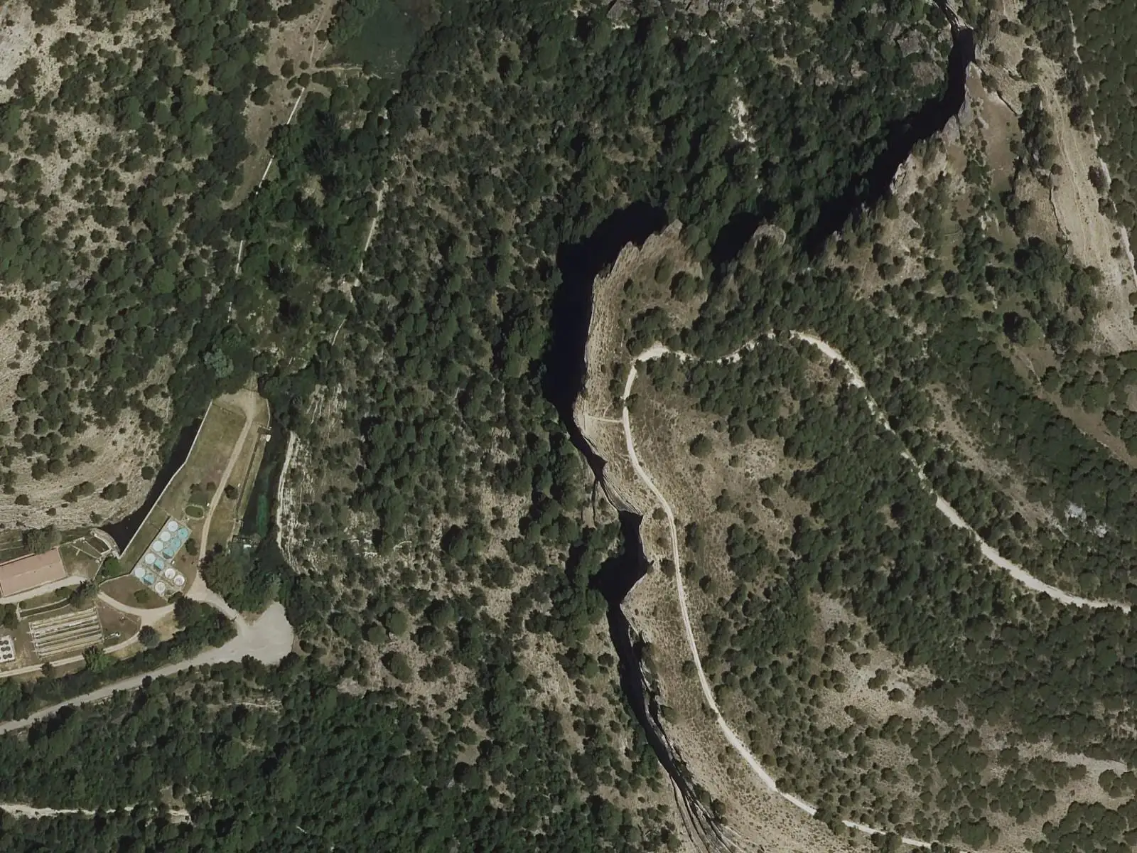
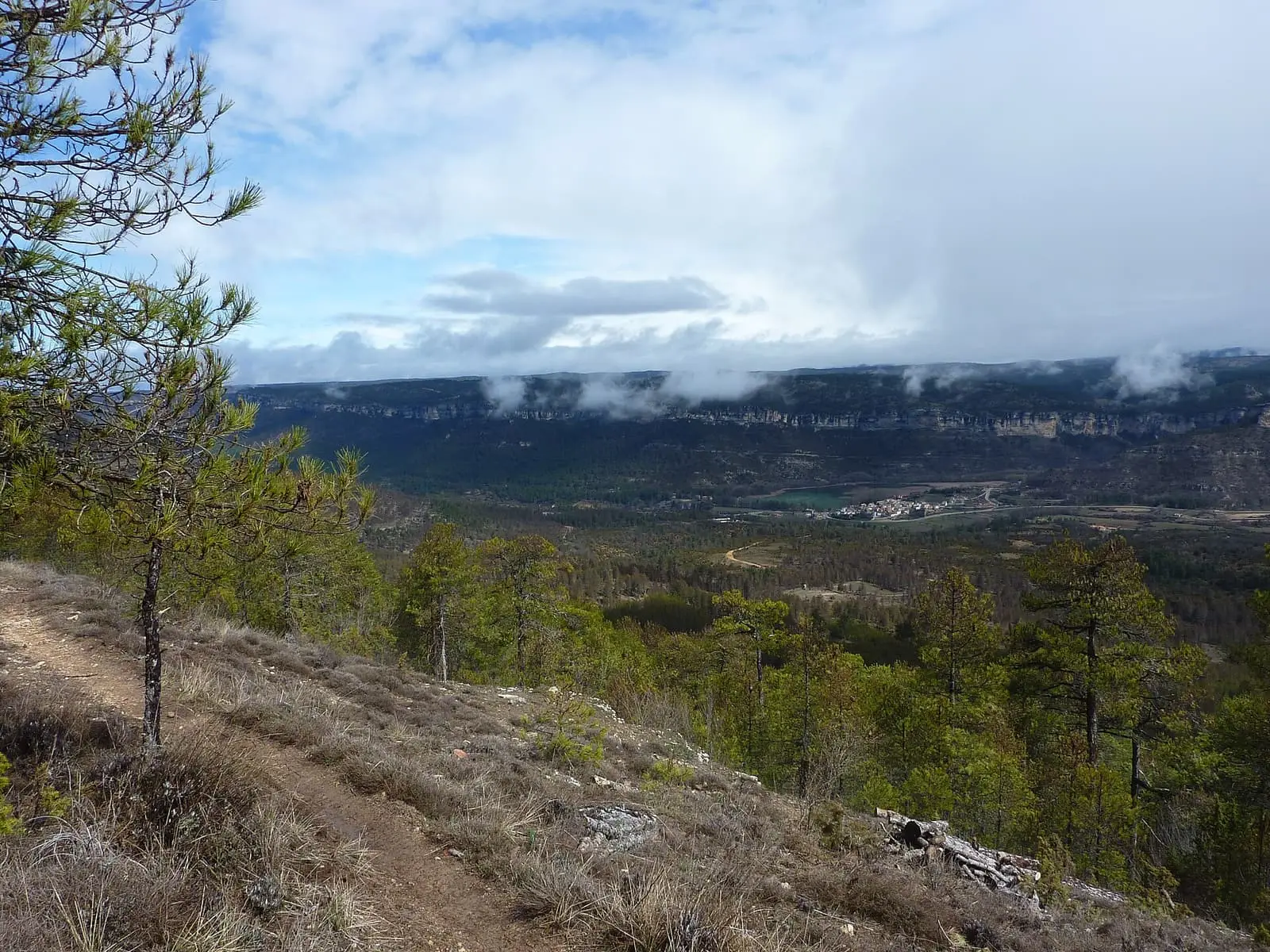
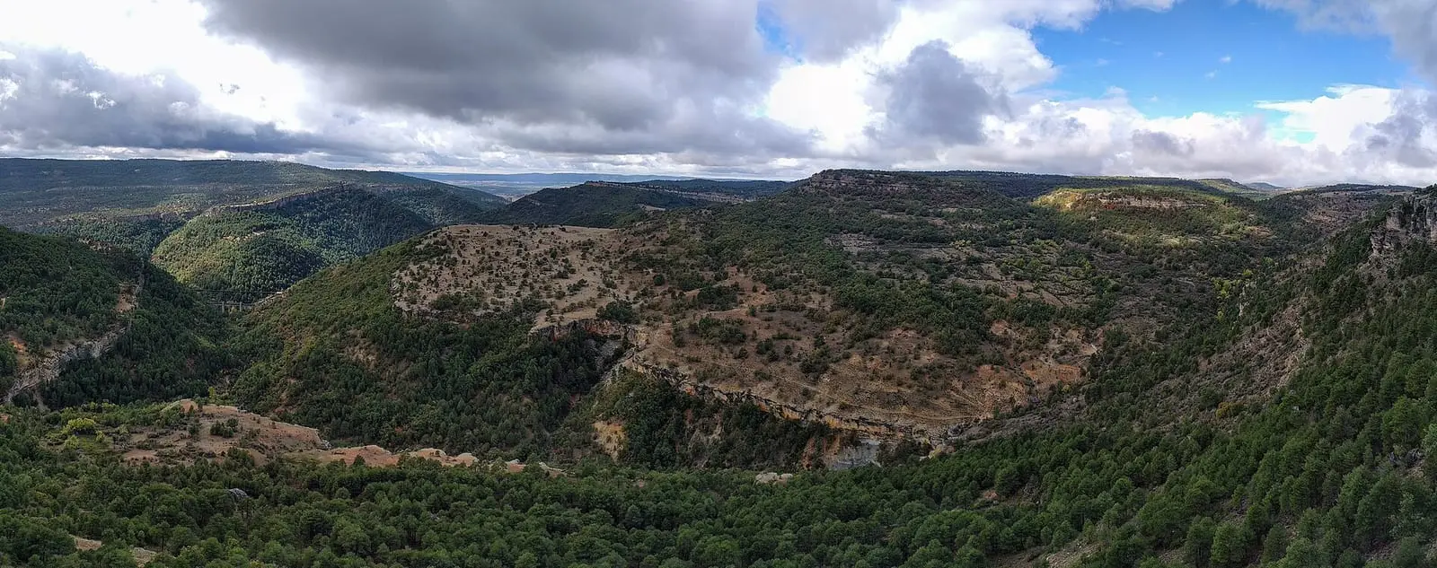
Refrentón viewpoint stands atop Uña's cliffs on the Escalerón y La Raya trail (PR-CU 37), the Natural Park's most walked route. It overlooks the lake, village and cliffs of Rincón de Uña, where griffon vultures and other cliff-nesting birds of prey breed.
- Municipality
- Uña
- Viewpoint
- Uña
- PR-CU 37
- Griffon vulture
- Laguna de Uña
Above the Escalerón
The PR-CU 37, a PR (short-distance trail), leaves Uña, climbs the Escalerón, a steep, densely vegetated path, and continues along a track following the cliff edge. The Refrentón and Rincón de Uña viewpoints stand on this stretch: below are the lake and village; ahead, the cliffs where griffon vultures breed.
The return descends through La Raya, a narrow ledge between rock walls, to the canal and lake.
Plan your visit
Before you travel
It is 9 km of moderate difficulty. Take care on La Raya, and in ice or rain leave it for another day. Keep away from nests and the edge.
Combine with
The Laguna viewpoint, at the start of the trail, and the Uña Visitor Centre.
Frequently asked questions
How do you get there?
On foot along the PR-CU 37, the Escalerón y La Raya trail starting in Uña: 9 km of moderate difficulty.
Which birds can be seen?
Mainly griffon vultures, breeding on the cliffs of Rincón de Uña, and other cliff and woodland birds of prey.
Carry on from here
Lands and landscapes
From here, follow the memory of the land
These readings connect Refrentón viewpoint with the stories, the work and the villages around it.
Where it is
● Reference point · ● Villages · ● Places · ━ Routes nearby
Location sketch. The map with paths and names loads as you scroll to it.
Reference villages: Uña · Las Majadas · Villalba de la Sierra · Buenache de la Sierra.
Open the full map and its historical layers →More viewpoints nearby
See all →
Where the data on this page come from
- Name
- Rewilding España source consulted, 4 October 2026
- Location
- Rewilding España source consulted, 4 October 2026
- Village
- Municipality (INE code)
«Source consulted»: the primary source has been read. «Reference located»: the source has been identified but not yet read. «Open question»: the figure needs confirmation.