Geosite · Cuenca
Ciudad Encantada de Cuenca
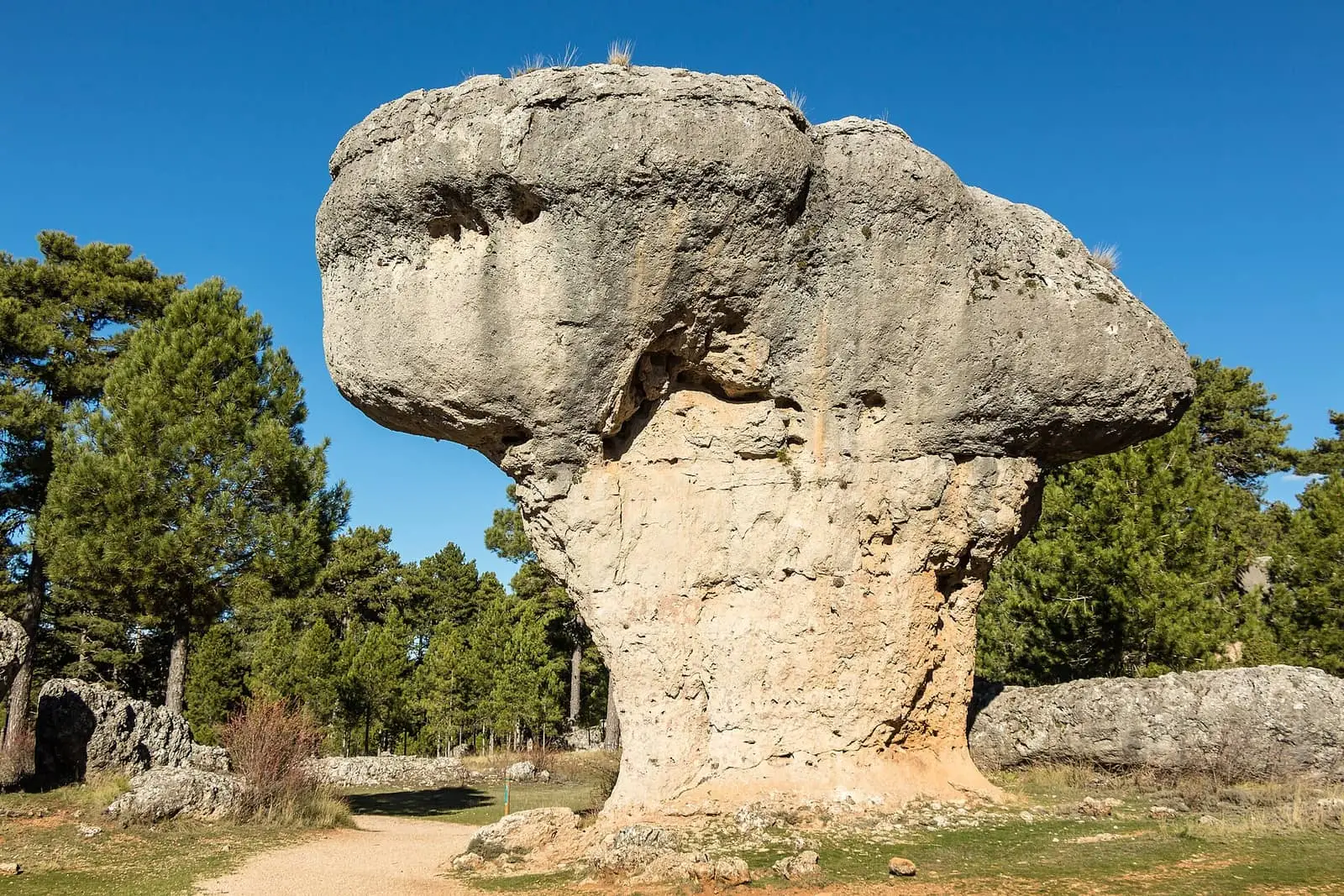
Cuenca's Ciudad Encantada is one of Spain's best-known karst landscapes: a maze of Mesozoic limestone fractured and dissolved by water, wind and ice into stone silhouettes between 1,340 and 1,410 metres. Declared a Natural Site of National Interest in 1929, it is now within the Natural Park. It lies between Uña and Villalba de la Sierra.
- Municipality
- Cuenca
- Karst
- Ciudad Encantada
- Geosite
- Natural Site of National Interest
- Limestone
A stone city
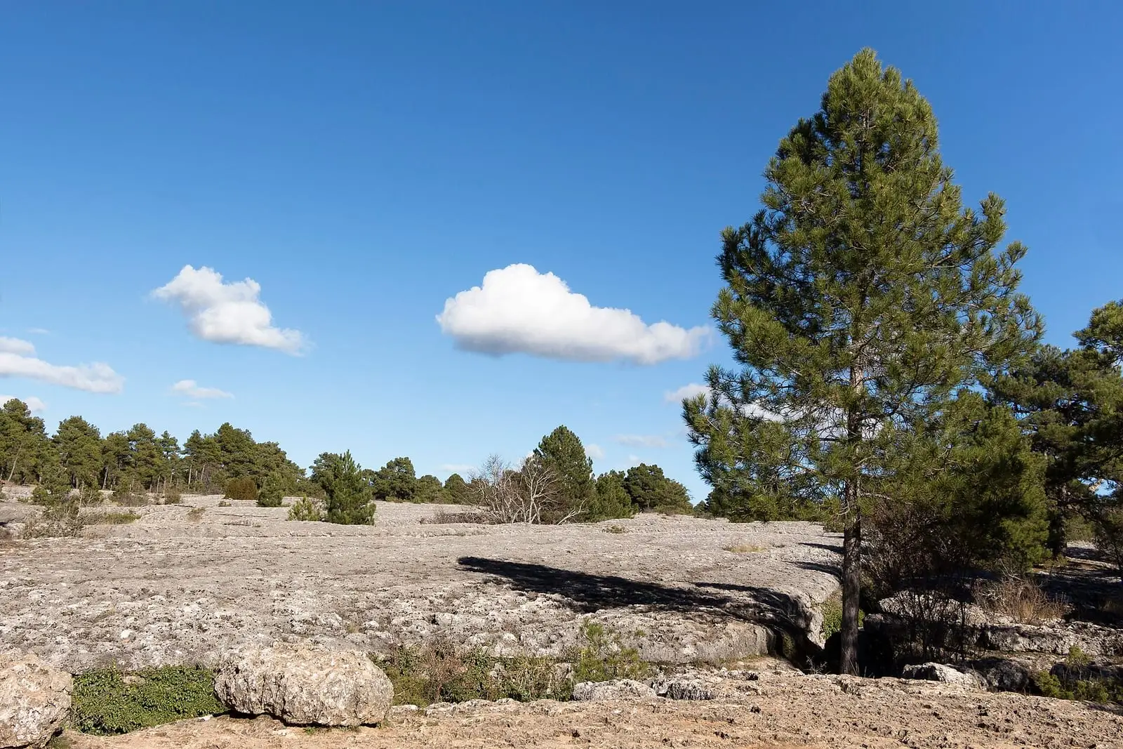
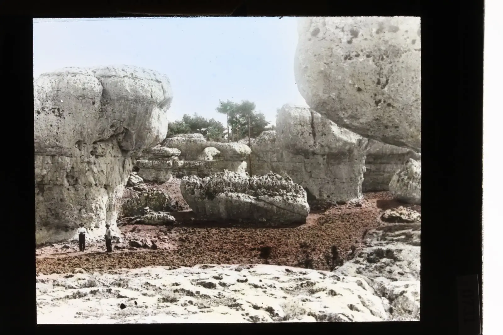
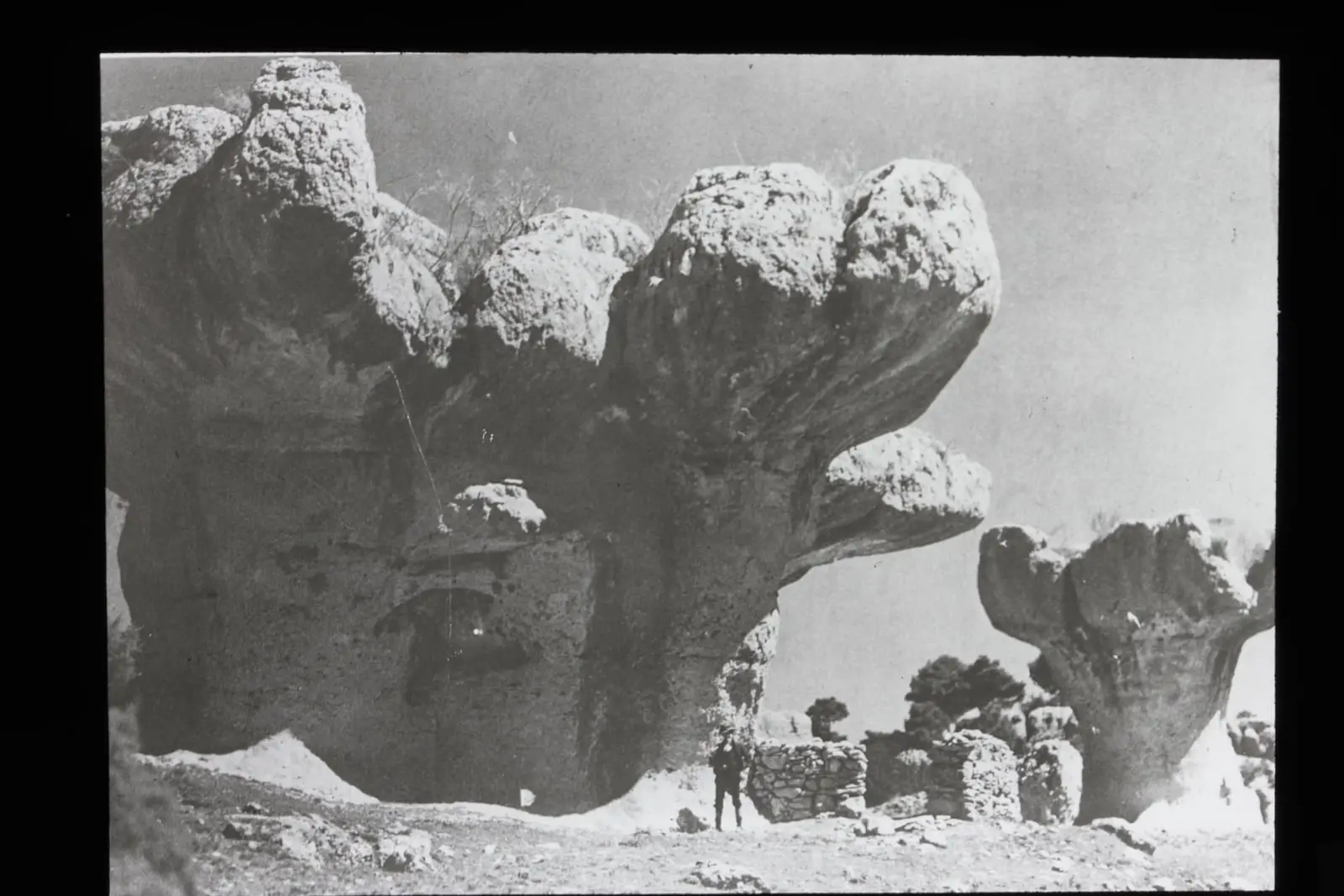
Ciudad Encantada, the “Enchanted City” rock formations, is one of Spain’s major karst landscapes. Its rock is Mesozoic limestone, heavily folded and broken by earth movements. Along the cracks, water dissolved stone unevenly, leaving countless forms, many resembling human figures. The surrounding area covers about 20 km², and the site of geological interest 95 hectares, between 1,340 and 1,410 metres.
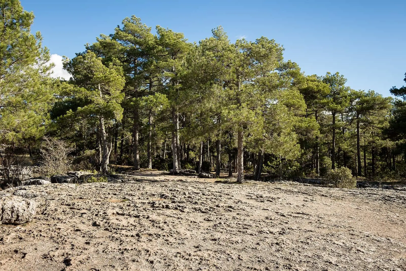
Portuguese oaks, Spanish junipers, common junipers and box grow among the rocks, scented with rosemary, thyme and marjoram. Grazing continues: sheep bells can be heard.
Protection
A Natural Site of National Interest since 1929, it now lies within the Serranía de Cuenca Natural Park. It appears in the global inventory of sites of geological interest.
Plan your visit
It lies in the Júcar canyon between Uña and Villalba de la Sierra, beside the CM-2104 around km 19.
Before you travel
Check opening times, prices and rules before going. Slender rock forms break easily: do not climb them or write on the rock.
Combine with
Torcas de los Palancares show the same karst from below, in collapse sinkholes. Another, less-known stone city is El Tormagal in Masegosa.


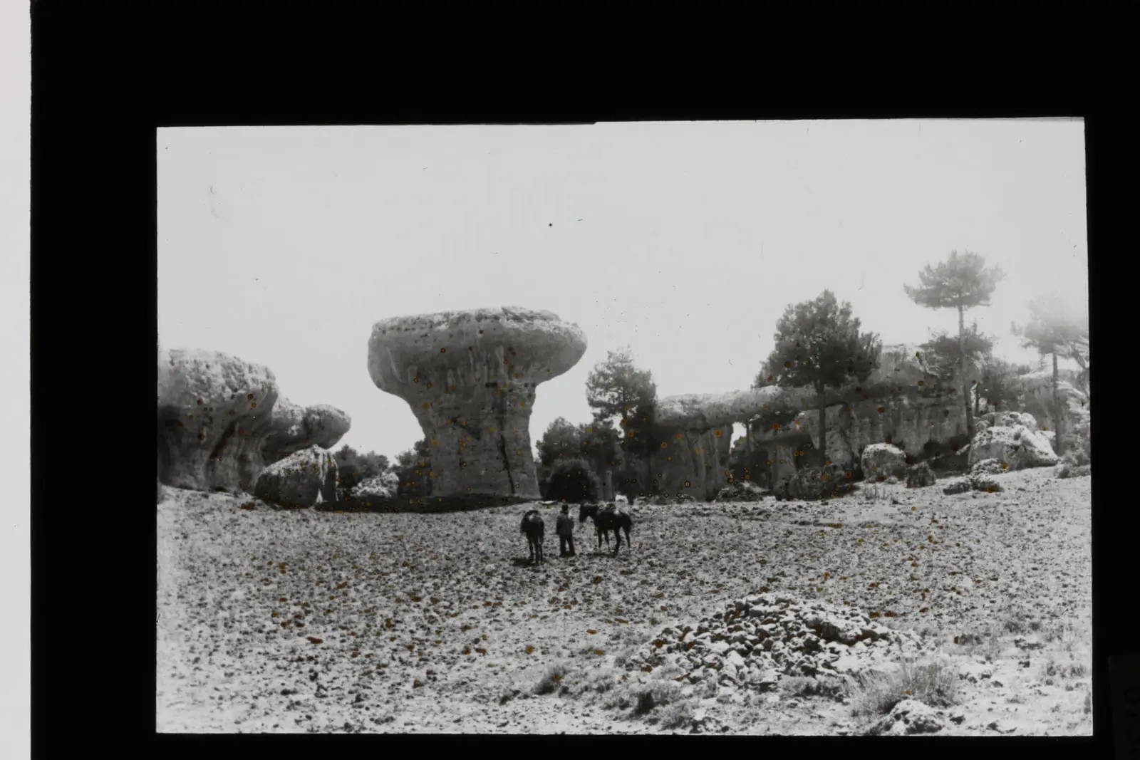
From the archive
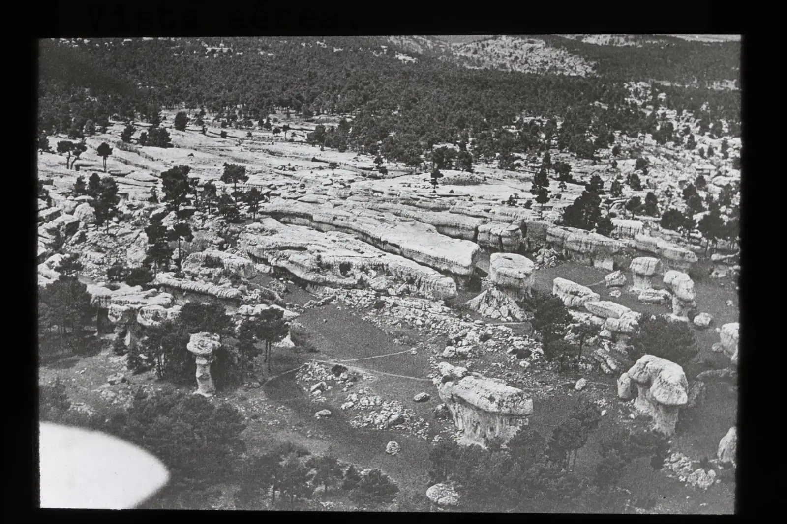
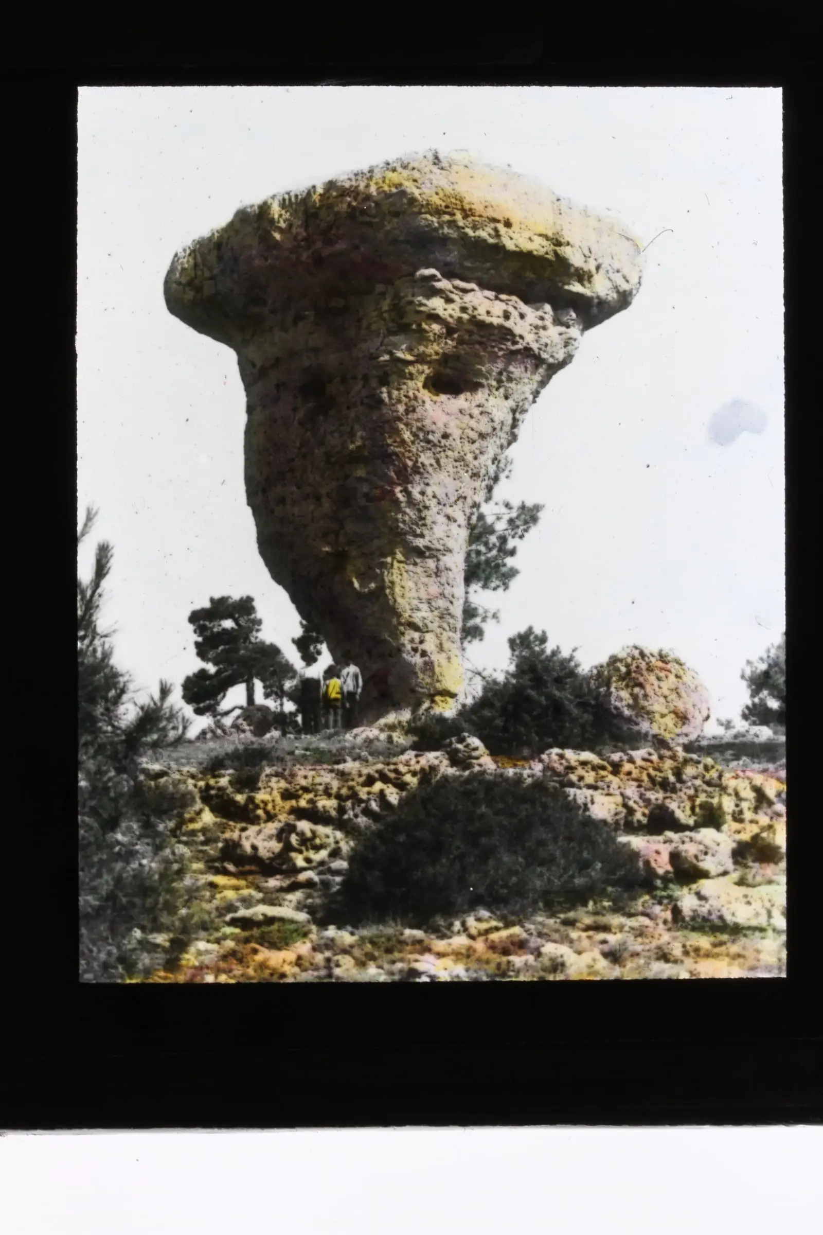
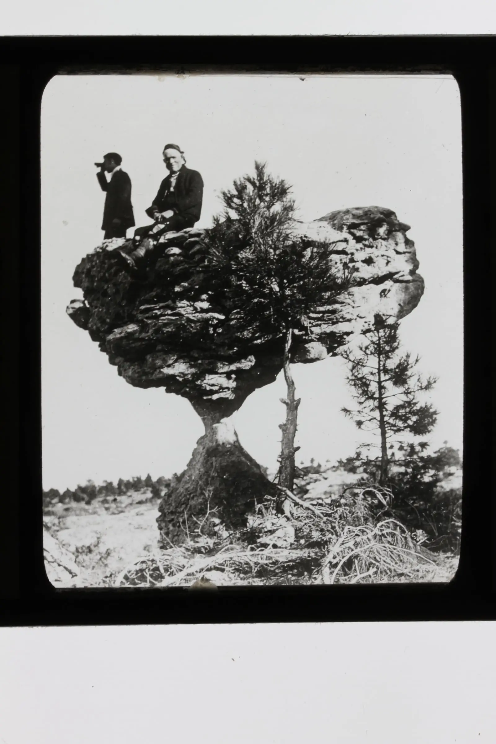
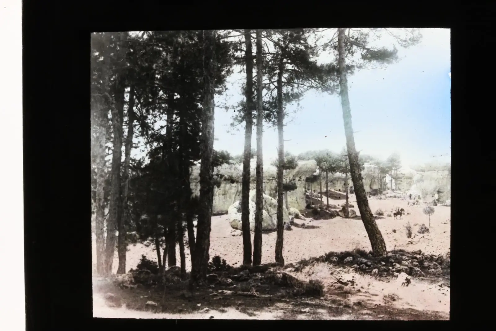
Frequently asked questions
How did Ciudad Encantada form?
Highly folded and fractured Mesozoic limestone. Differential dissolution, aided by fracturing, has produced many forms, some resembling humans, making a ruin-like landscape known as a stone city.
When was it protected?
It became a Natural Site of National Interest in 1929 and was included in the Serranía de Cuenca Natural Park, declared in 2007.
Where is it?
In the Júcar canyon between Uña and Villalba de la Sierra, at almost 1,500 m, beside the CM-2104 around km 19, within Valdecabras. IGME gives altitudes between 1,340 and 1,410 m.
Carry on from here
Lands and landscapes
From here, follow the memory of the land
These readings connect Ciudad Encantada de Cuenca with the stories, the work and the villages around it.
- Serranía MediaZone of the Serranía →
- Complejo Lagunar del río Moscas micro-reserveProtected area in the municipality →
- Cueva de los Morceguillos micro-reserveProtected area in the municipality →
- Nacimiento del río Cuervo Natural MonumentProtected area in the municipality →
- Palancares y Tierra Muerta Natural MonumentProtected area in the municipality →
- Serranía de Cuenca Natural ParkProtected area in the municipality →
- Serranía de Cuenca SAC and SPA (ES4230014)Protected area in the municipality →
This place through time
Which eras you can read here
A single place can keep traces of several periods. These layers connect what you see with the atlas's stories.
Where it is
● Reference point · ● Villages · ● Places · ━ Routes nearby
Location sketch. The map with paths and names loads as you scroll to it.
Reference villages: Uña · Villalba de la Sierra · Buenache de la Sierra · Las Majadas.
Open the full map and its historical layers →Where the data on this page come from
- Name
- Rewilding España source consulted, 4 October 2026
- Instituto Geológico y Minero de España · CSIC source consulted, 4 October 2026
- Ayuntamiento de Huerta del Marquesado source consulted, 5 October 2026
- Iniciativa Sistema Ibérico Sur / Rewilding España source consulted, 5 October 2026
- Carcavilla, L.: «IB228: Ciudad Encantada de Cuenca» source consulted
- Location
- Rewilding España source consulted, 4 October 2026
- Municipality (INE code)
- Instituto Geológico y Minero de España · CSIC source consulted, 4 October 2026
«Source consulted»: the primary source has been read. «Reference located»: the source has been identified but not yet read. «Open question»: the figure needs confirmation.