Viewpoint · Las Majadas
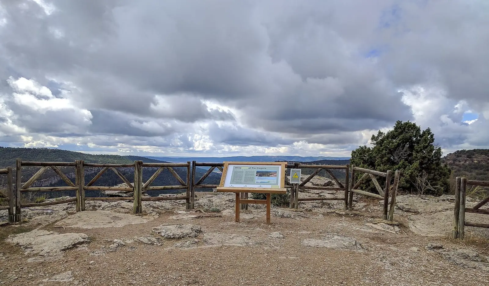
Tío Cogote viewpoint
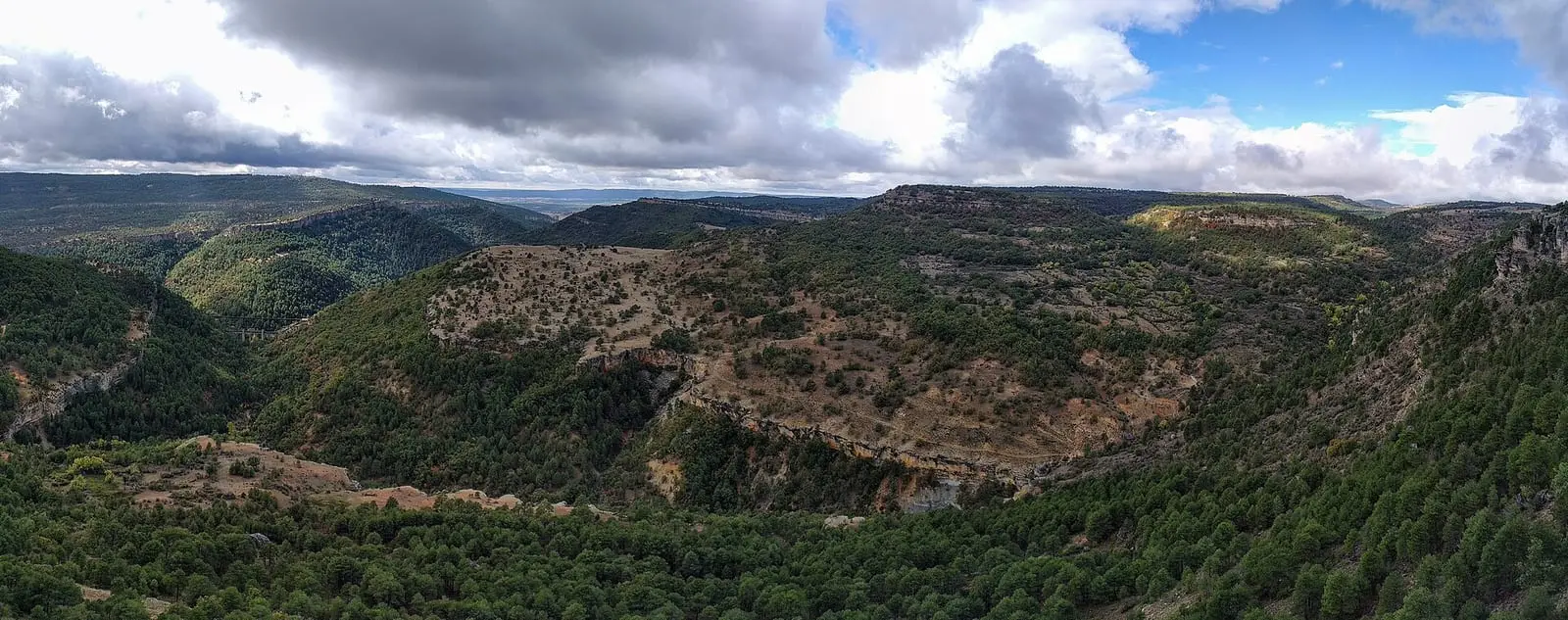
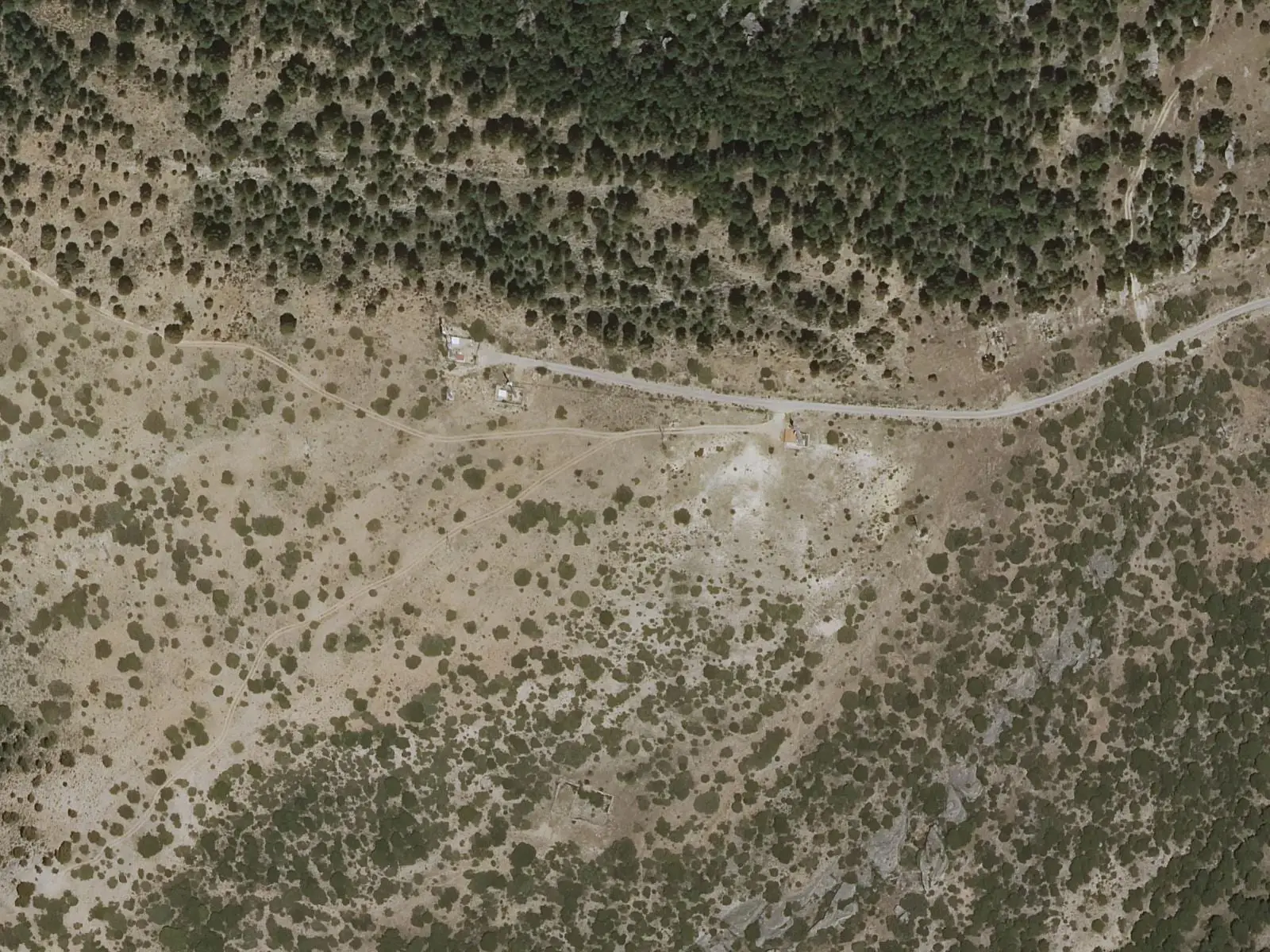
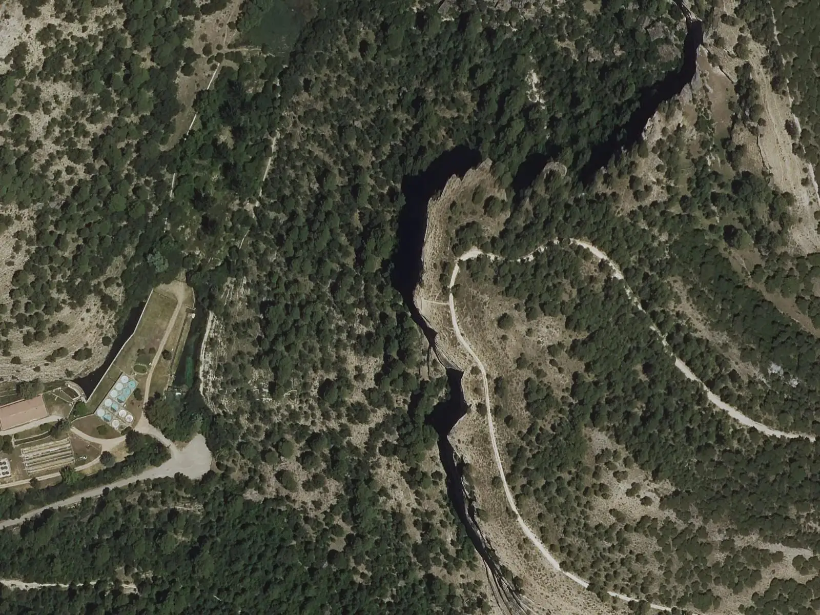
Tío Cogote viewpoint stands atop a crag near Los Callejones de Las Majadas, in the Serranía de Cuenca Natural Park. It overlooks the Júcar canyon and the municipality's pine forests, and griffon vultures, peregrine falcons and golden eagles can often be seen close by. The PR-CU 28 passes through it.
- Best time
- Autumn for the deer rut; sunset for the light
- Municipality
- Las Majadas
- Viewpoint
- Las Majadas
- Júcar
- Birds of prey
- PR-CU 28
A crag above the Júcar
The viewpoint stands on Picón de Tío Cogote, atop a crag on the muela, a flat-topped limestone hill, of Las Majadas. Below, the Júcar runs through its canyon; around it are pine forests and rock. The name recalls a resident known by that nickname.
The Park guide recommends it for birds of prey: griffon vultures, peregrine falcons and golden eagles pass close by. In autumn the roaring of rutting deer can be heard from here.
Plan your visit
Before you travel
The PR-CU 28, a PR (short-distance trail), climbs from Las Majadas through Royo Frío to the viewpoint and continues to Los Callejones: 12.9 km of high difficulty. Keep back from the cliff edges.
Combine with
The Callejones de Las Majadas, alongside, and the Dehesa de los Olmos.
Frequently asked questions
What can be seen?
The Júcar canyon, Las Majadas's pine forests and the rock formations. Birds of prey are easily seen at close quarters: griffon vultures, peregrine falcons and golden eagles.
How do you get there?
Very close to Los Callejones. The PR-CU 28, Ruta de las Fuentecillas y Los Callejones, passes the Picón de Tío Cogote viewpoint.
Carry on from here
Lands and landscapes
From here, follow the memory of the land
These readings connect Tío Cogote viewpoint with the stories, the work and the villages around it.
Where it is
● Reference point · ● Villages · ● Places · ━ Routes nearby
Location sketch. The map with paths and names loads as you scroll to it.
Reference villages: Las Majadas · Uña · Portilla · Villalba de la Sierra.
Open the full map and its historical layers →More viewpoints nearby
See all →

Where the data on this page come from
- Name
- Rewilding España source consulted, 4 October 2026
- Ayuntamiento de Las Majadas source consulted, 4 October 2026
- Turismo Serranía / Rewilding España source consulted, 5 October 2026
- Location
- Rewilding España source consulted, 4 October 2026
- Municipality (INE code)
- Ayuntamiento de Las Majadas source consulted, 4 October 2026
«Source consulted»: the primary source has been read. «Reference located»: the source has been identified but not yet read. «Open question»: the figure needs confirmation.