Viewpoint
Uña viewpoint
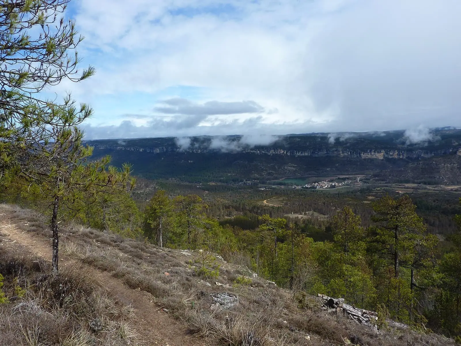
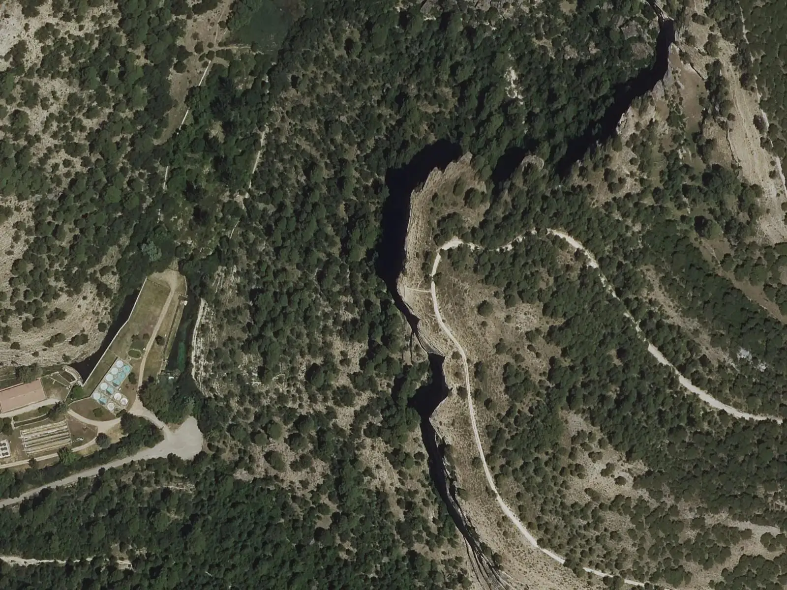
Uña viewpoint is 1.5 km from the Ciudad Encantada entrance area, at kilometre 19 of the CM-2014, along a signposted path. It overlooks the Júcar valley at Uña, with its lake, dolostone cliffs and the Serranía's high plateaux. An interpretation panel helps identify the features.
- Viewpoint
- Uña
- Júcar
- Ciudad Encantada
- Natural Park
The Park at a glance
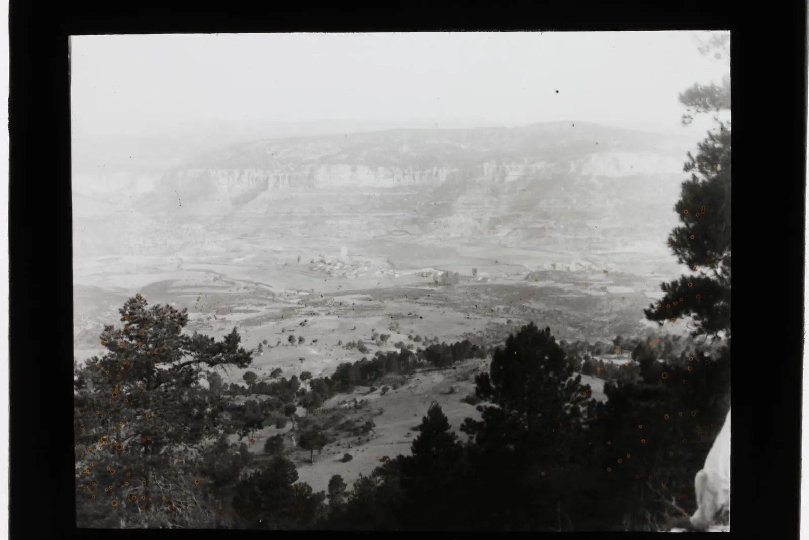
From the edge of the Muela de Valdecabras you can see the Serranía’s structure in a single view: below, the floor of the Júcar valley at Uña, with its lake; in the middle, the dolostone cliffs separating valleys and canyons from the uplands; above, muelas, flat-topped limestone hills, or parameras, high open limestone plateaux, and beyond them the highest summits. An interpretation panel names each feature.
Plan your visit
Before you travel
Access is on foot: 1.5 km along a signposted path from the Ciudad Encantada entrance area, at kilometre 19 of the CM-2014.
Combine with
The Ciudad Encantada, which is privately managed, and the Uña Visitor Centre, beside the lake.
From the archive
Frequently asked questions
How do you get there?
On foot along a signposted 1.5 km path from the Ciudad Encantada entrance area, at kilometre 19 of the CM-2014.
What can be seen?
The Júcar valley at Uña, with its lake, the dolostone cliffs separating valleys from high plateaux, and the Serranía's highest summits beyond.
Carry on from here
Where it is
● Reference point · ● Villages · ● Places · ━ Routes nearby
Location sketch. The map with paths and names loads as you scroll to it.
Reference villages: Uña · Buenache de la Sierra · Villalba de la Sierra · Las Majadas.
Open the full map and its historical layers →More viewpoints nearby
See all →
Where the data on this page come from
- Name
- Rewilding España source consulted, 4 October 2026
- Location
- Rewilding España source consulted, 4 October 2026
«Source consulted»: the primary source has been read. «Reference located»: the source has been identified but not yet read. «Open question»: the figure needs confirmation.