Water · Beteta
Lagunas de El Tobar
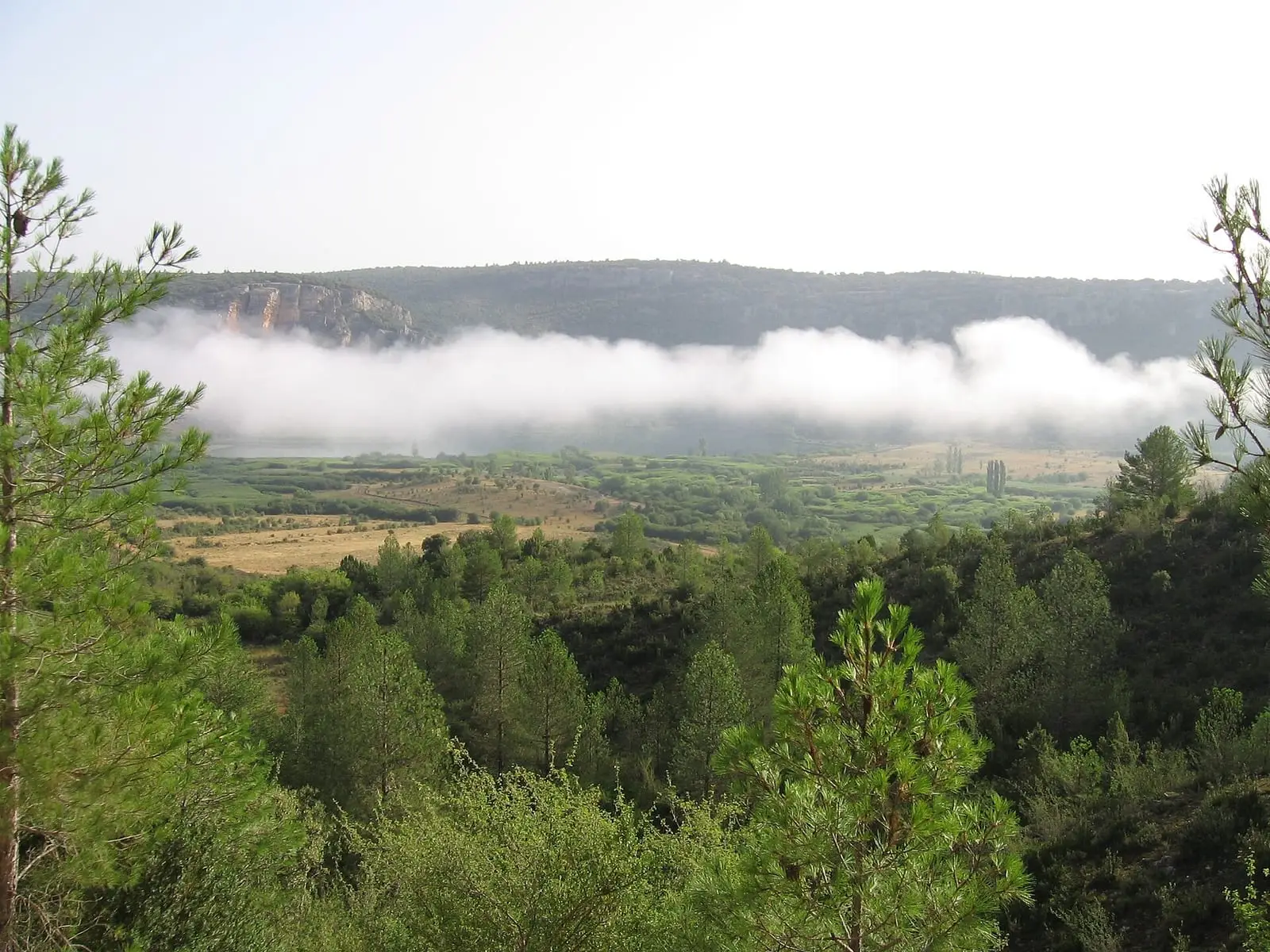
The lakes of El Tobar lie beside the hamlet of El Tobar, in the municipality of Beteta, in the Serranía Alta (upper Serranía). They occupy basins formed by limestone dissolution; Laguna Grande has two layers of water that do not mix, fresh above and saline below, and white water lilies cover it in early summer. The SL-CU 4 follows a 5.5 km circular route around them.
- Best time
- Early summer, when the water lilies flower
- Municipality
- Beteta
- Lakes
- El Tobar
- Beteta
- Meromixis
- White water lily
- SL-CU 4
The hamlet’s lakes
El Tobar is a hamlet of Beteta; it lost its town council in 1973. Leaving the village, a dirt track leads to its lakes: the Pequeña, the Ciega and the Grande, basins opened as water dissolved the limestone. Around them, woodland thickens on the shaded slopes, and mosses and lichens cover rocks and trunks.
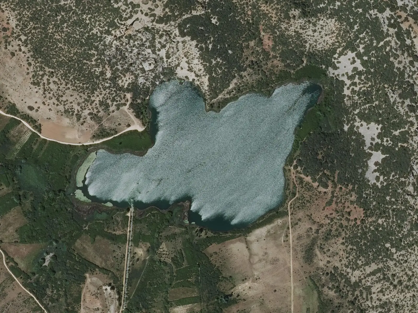
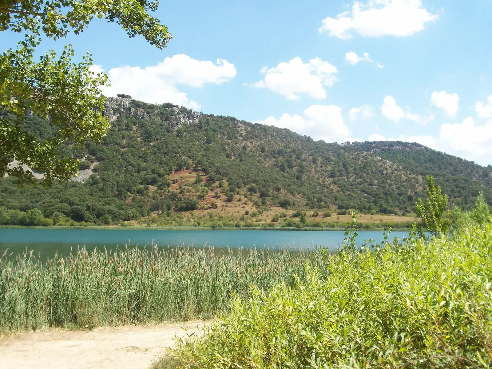
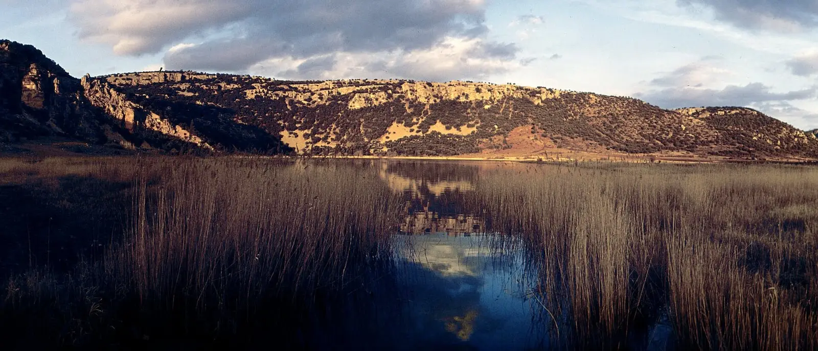
La Grande is the largest and deepest, with an unusual feature: two layers of water that do not mix. Above is fresh water from the Arroyo del Masegar and springs; below is saline water seeping through salt-bearing rocks, up to three times saltier than the sea. In early summer white water lilies cover its margins, and waterbirds shelter in the reedbed.
What has changed the lake
La Grande straddles the municipalities of Beteta and Masegosa; in Masegosa it is called Laguna Grande. It formed around 200,000 years ago through limestone dissolution. It covers around 17 hectares and is 18.6 metres deep at its deepest point, beside the north-western cliff, holding 1.4 million cubic metres, roughly the volume of the Camp Nou. It is meromictic: below around twelve metres the saline water never mixes with the water above, a rare feature shared by only a few lakes in the peninsula, such as Banyoles.
Its landscape has changed greatly. In 1629 Juan Pablo Mártir Rizo spoke of three large lakes; today there are two main ones, La Grande and La Pequeña. In the 1940s crops reached the shore; twenty years later basket willow dominated. Around 1967 a canal was opened beneath the hill to bring water from La Tosca reservoir, maintain a constant level and supply the Puente de Vadillos power station; since then the lake’s catchment has included the Cuervo’s, and its water sometimes becomes cloudy with water arriving from the reservoir.
Plan your visit
Before you travel
The SL-CU 4, an SL (local trail), starts at El Tobar’s communal washhouse and traces a figure of eight between the three lakes: 5.5 km, easy. Do not tread on the shore or enter the reedbed.
Combine with
The Hoz de Beteta, to the west, and the PR-CU 90, a PR (short-distance trail) also starting in El Tobar. altotajo.es describes Laguna Grande’s geology in its own entry.
From the archive
Frequently asked questions
Why do the waters not mix?
The upper layer is fresh water from the Arroyo del Masegar and springs; the lower layer is very salty water seeping through salt-bearing rocks. The saline water is heavier and remains at the bottom. This is called meromixis.
How do you walk around them?
On the SL-CU 4, a 5.5 km circular trail taking between 1 and 2 hours, starting in El Tobar beside the communal washhouse and Fuente del Arca and passing the Pequeña, Ciega and Grande lakes.
Carry on from here
Lands and landscapes
From here, follow the memory of the land
These readings connect Lagunas de El Tobar with the stories, the work and the villages around it.
Where it is
● Reference point · ● Villages · ● Places · ━ Routes nearby
Location sketch. The map with paths and names loads as you scroll to it.
Reference villages: Masegosa · Lagunaseca · Beteta · Cueva del Hierro.
Open the full map and its historical layers →More springs, lakes and rivers nearby
See all →

Where the data on this page come from
- Name
- Rewilding España source consulted, 4 October 2026
- Turismo de Castilla-La Mancha source consulted, 4 October 2026
- Municipality (INE code)
- Rewilding España source consulted, 4 October 2026
- Location
- Rewilding España source consulted, 4 October 2026
«Source consulted»: the primary source has been read. «Reference located»: the source has been identified but not yet read. «Open question»: the figure needs confirmation.