Village · Cuenca
El Pozuelo
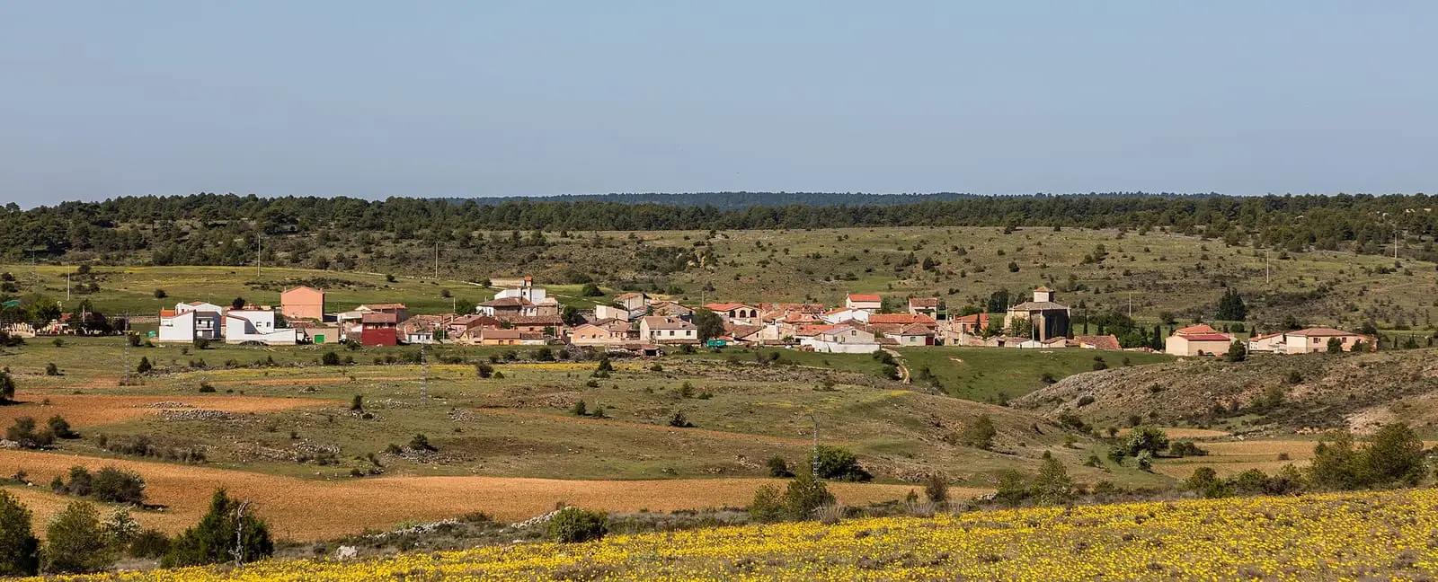
El Pozuelo is a tiny village in the north-west of the Serranía Alta (upper Serranía) of Cuenca, beside the Guadalajara boundary, with an official trail, the PR-CU 96, to the Virgen de los Hoyos hermitage. It had 342 inhabitants in 1930 and 39 in 2021. Winter is long: about 64 frost days a year.
On this page 10 sections
A village at the edge
El Pozuelo lies at the far north-west of the Serranía Alta, far from everything: Carrascosa, the nearest village, is 10 km away as the crow flies. This is mountain country, with prolonged frosts and snow.
Routes
The PR-CU 96 short-distance trail leaves southwards on the Virgen de los Hoyos path. It passes Pino Seco, La Solana and Hoya del Lobo, descends to a seasonal stream and climbs to the hill of the Nuestra Señora de los Hoyos hermitage. It is 7 km on track; return by the same route.
The Los Hoyos pilgrimage
The Nuestra Señora de los Hoyos hermitage stands at about 1,000 metres above the Arroyo de la Virgen in the Guadiela basin and is documented from the Middle Ages. Nearby are a hill with Celtiberian hillfort remains, Peña Escrita, with a Roman inscription, and road remains. Every 11 September one of the Serranía’s largest pilgrimages was held here: people came from El Pozuelo, Carrascosa, Beteta, Masegosa, Cañizares, Cañamares, Fuertescusa, Priego or Alcantud, on horseback or foot, some barefoot, for one or two days of festivities before the farming year began at San Miguel. There was dancing, communal eating, courtships and votive offerings hung on the walls. There is also a legend of the Los Hoyos lizard, reaching as far as the Americas of the age of discovery, like Tejeda’s caiman.
The hermitage has a single nave divided in two by a turned-spindle screen of painted wood, and the Virgin’s image at the altar. Locally people remember a fire around 1983 burning the surrounding pine forests, then denser, while leaving the hermitage intact. The main celebration moved to the second weekend of August when more people are in the village, but in 2022 some still came on 11 September.
Iron and an ironworks with Cervantes in the background
Two iron mines were registered in the municipality in 1839: San Esteban, north of the village, and Santa Cristina on the Loma del Campo. Already in the 18th century, according to the Ensenada Cadastre, El Pozuelo’s inhabitants worked the ironworks and flour mill of Santa Cristina, a settlement on the Guadiela now in Carrascosa municipality. Locally it is said Cervantes visited: a son-in-law, Luis de Molina, managed the ironworks, as established by Astrana Marín. Nothing proves he lived in Santa Cristina, still less that his father-in-law visited him.
Plan your visit
The plan is the hermitage path: all of it if you have the morning, or to Hoya del Lobo and back.
Before you travel
There are no services along the way: take water and food. In winter the track has ice and snow.
Combine with
Carrascosa is 10 km away as the crow flies and Cañizares 13.
Frequently asked questions
Which trail starts from El Pozuelo?
PR-CU 96, Ruta de la Virgen de los Hoyos: a linear route of 7 km, entirely on track, following the traditional path to the Nuestra Señora de los Hoyos hermitage. Return is by the same path.
How many people live in El Pozuelo?
39 in the 2021 census. The peak was 342 in 1930, according to the INE.
Carry on from here
The rivers, zones, eras, places and official routes that the atlas links with El Pozuelo.
Lands and landscapes
From here, follow the memory of the land
These readings connect El Pozuelo with the stories, the work and the villages around it.
Official routes
Near El Pozuelo
Peña del Águila viewpoint
Carrascosa
Tragavivos viewpoint
Cañizares
Fuente de los Tilos picnic area
BetetaSee 5 more
Casa de la Pradera picnic area
Beteta
Armentero viewpoint
Beteta
Cruz de Solán viewpoint
Beteta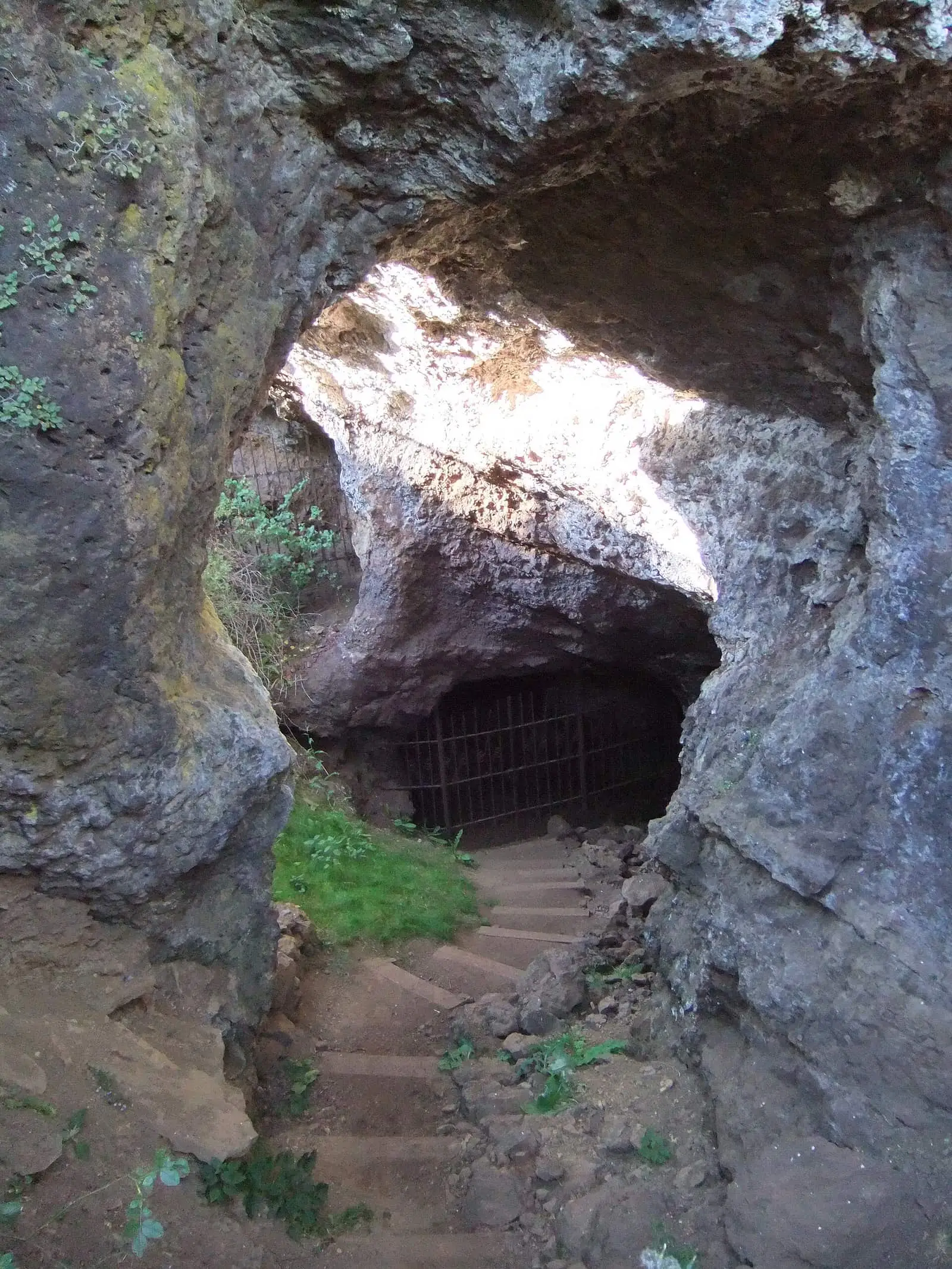
Roman mine of Cueva del Hierro
Cueva del Hierro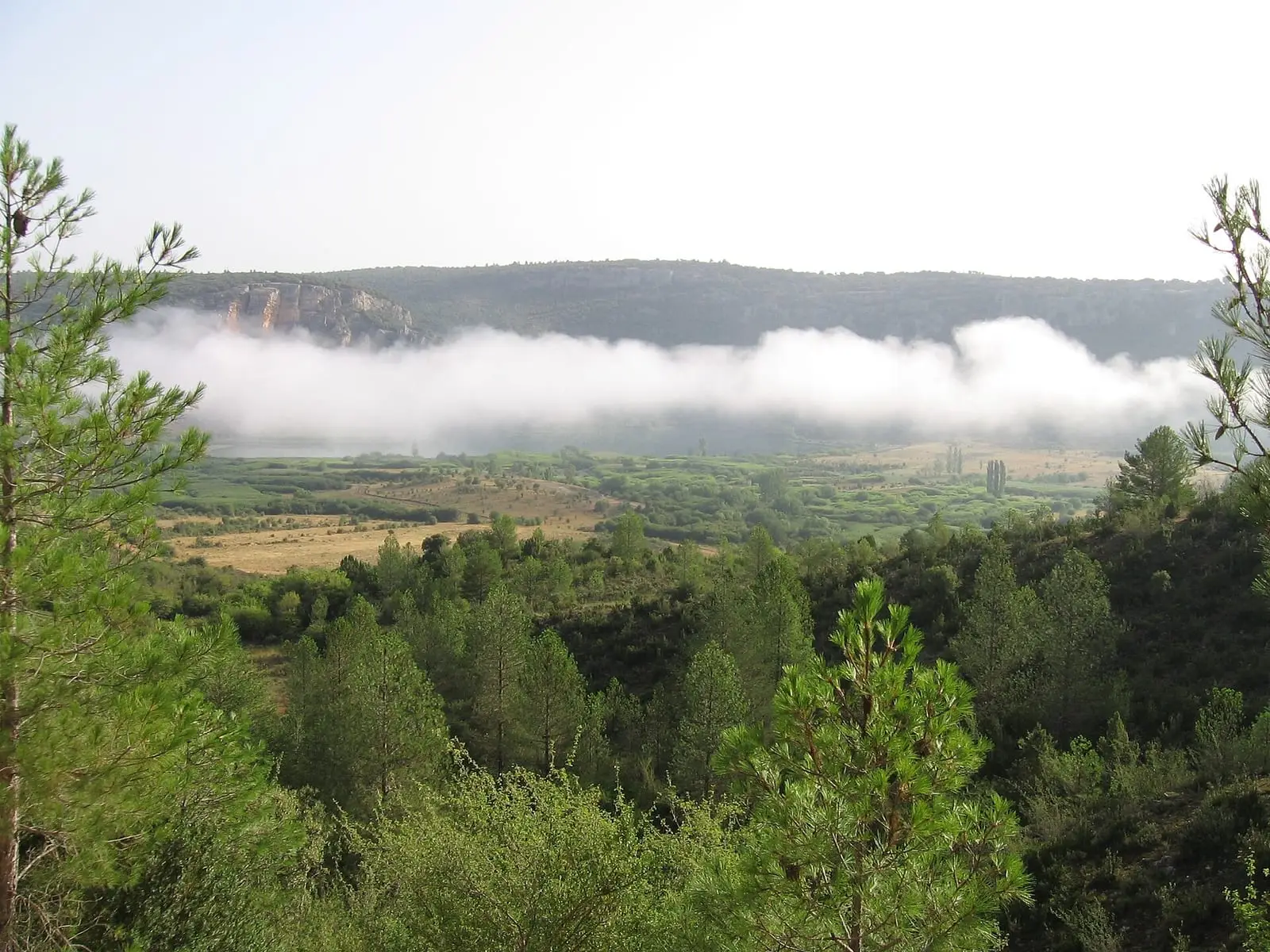
Lagunas de El Tobar
BetetaPopulation of El Pozuelo, 1842–2021
El Pozuelo reached 342 inhabitants in 1930. The 2021 census counted 39, 89 % fewer. It is the story told in the emptying.
Climate in El Pozuelo month by month
Averages for the ten years from 2015 to 2024 from the ERA5 reanalysis (Copernicus), for a grid cell with a reference altitude of 1221 m. They are model estimates, not measurements from a local station or thirty-year climate normals.
Source: Copernicus ERA5 via Open-Meteo, CC BY 4.0. Retrieved: 2026-10-09.
Location
● Reference point · ● Villages · ● Places · ━ Routes nearby
Location sketch. The map with paths and names loads as you scroll to it.
Approximate position: village centre.
Reference villages: Carrascosa · Cañizares · Valsalobre · Beteta.
Open the full map and its historical layers →Where the data on this page come from
- Location
- IGN: Nomenclátor Geográfico Básico de España, capital de municipio (CC BY 4.0) source consulted, 9 October 2026
«Source consulted»: the primary source has been read. «Reference located»: the source has been identified but not yet read. «Open question»: the figure needs confirmation.