Viewpoint · Cañizares
Tragavivos viewpoint
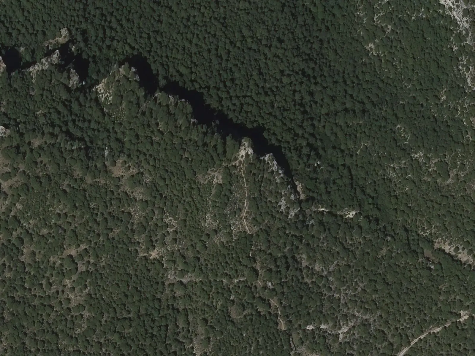
Tragavivos viewpoint looks out from Cañizares over the Hoz de Tragavivos, a Guadiela canyon with cliffs over 80 metres high among woodland, the river winding along its floor. The viewpoints above the gorge stand on the PR-CU 91 trail starting in the village.
- Municipality
- Cañizares
- Viewpoint
- Hoz de Tragavivos
- Guadiela
- Cañizares
- PR-CU 91
The gorge that carried timber downstream
From Cañizares you can see the Hoz de Tragavivos: the Guadiela enclosed between cliffs over 80 metres high, with woodland on the slopes and the river winding below. At the gorge’s head, where the Cuervo and Guadiela meet, stands the Molino de Chincha dam, 37 metres high, impounding water to generate electricity.
Trunks from the upland pine forests once travelled down this river towards the Tagus: Cañizares is one of the villages of the gancheros, river timber drivers. The gancheros of the Escabas and Guadiela.
Plan your visit
Before you travel
The viewpoints are on the PR-CU 91, a PR (short-distance trail) starting in the village. Take care near the edge: the cliffs are vertical.
Combine with
The Peña del Águila viewpoint, in Carrascosa, and the Hoz de Beteta.
Frequently asked questions
What is the Hoz de Tragavivos?
A Guadiela canyon downstream of Puente de Vadillos, with cliffs over 80 metres high. The Molino de Chincha dam stands at its head.
Carry on from here
Lands and landscapes
From here, follow the memory of the land
These readings connect Tragavivos viewpoint with the stories, the work and the villages around it.
Where it is
● Reference point · ● Villages · ● Places · ━ Routes nearby
Location sketch. The map with paths and names loads as you scroll to it.
Reference villages: Cañizares · Carrascosa · Fuertescusa · Beteta.
Open the full map and its historical layers →More viewpoints nearby
See all →
Where the data on this page come from
- Name
- Rewilding España source consulted, 4 October 2026
- Location
- Rewilding España source consulted, 4 October 2026
- Village
- Turismo de Castilla-La Mancha: Cañizares (miradores sobre la Hoz de Tragavivos) source consulted, 14 October 2026
- Municipality (INE code)
- Turismo de Castilla-La Mancha: Cañizares (miradores sobre la Hoz de Tragavivos) source consulted, 14 October 2026
«Source consulted»: the primary source has been read. «Reference located»: the source has been identified but not yet read. «Open question»: the figure needs confirmation.