Place · Beteta
Casa de la Pradera picnic area
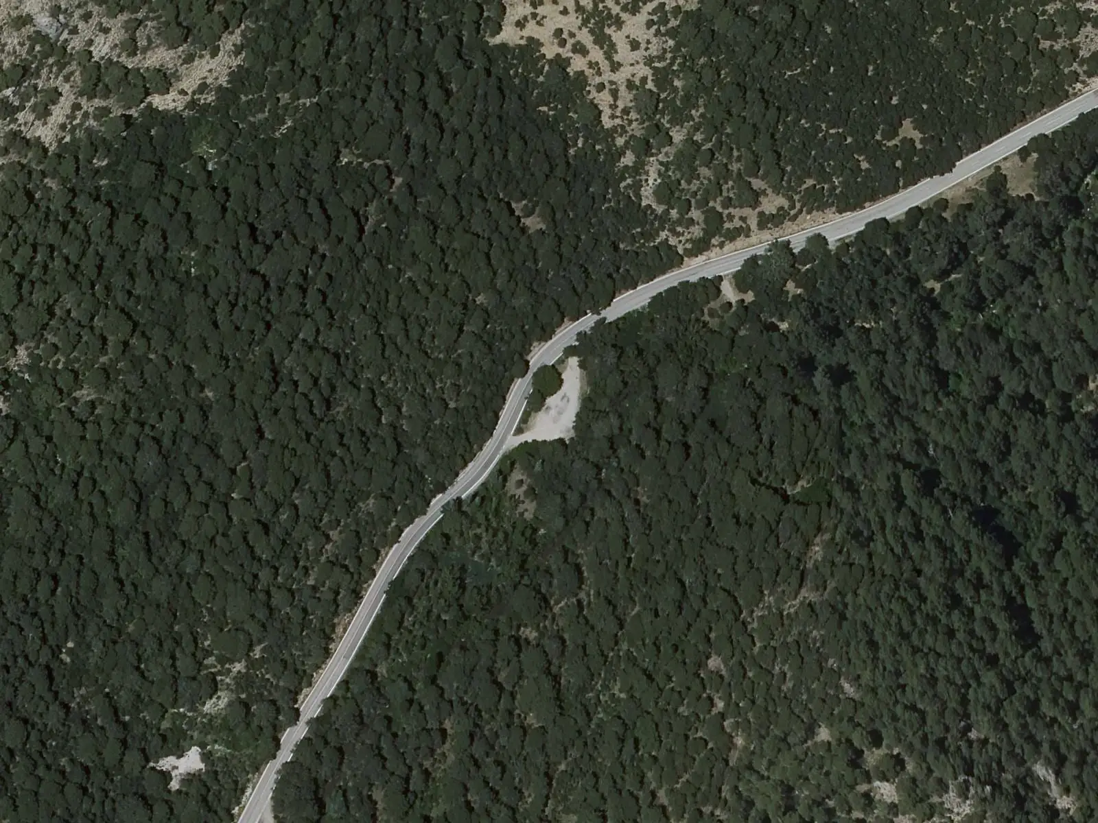
Casa de la Pradera is a picnic area in the Hoz de Beteta y Sumidero de Mata Asnos Natural Monument, within Beteta, with a barbecue, benches and tables, an unchlorinated-water spring and parking. The Las Librerías trail starts here, an out-and-back walk beside the Guadiela.
- Municipality
- Beteta
- Picnic area
- Hoz de Beteta
- Las Librerías
- Guadiela
- Beteta
Stone pages
The Las Librerías trail starts here, following the Guadiela through the Hoz de Beteta. At Las Librerías, the wall alternates thinly bedded limestone and dolostone with Jurassic clays, resembling pages of a book. Along the way are hollies, tufa such as that at the Poza de las Truchas spring and the Valle stream ravine, which forms a waterfall after several rainy days.
Good conduct
Never leave the barbecue fire unattended; put it out with water (carry at least 5 litres or an extinguisher) and use only commercial charcoal. There is no rubbish collection.
Combine with
Fuente de los Tilos and the village of Beteta.
Frequently asked questions
What is the Las Librerías trail?
An easy 4.7 km out-and-back walk beside the Guadiela to Las Librerías, where Jurassic limestone and dolostone layers resemble pages of a book.
Can the barbecue be used?
At the user's responsibility, never leaving the fire unattended, extinguishing it with water, using commercial charcoal and never when sealed off or prohibited by environmental officers.
Carry on from here
Lands and landscapes
From here, follow the memory of the land
These readings connect Casa de la Pradera picnic area with the stories, the work and the villages around it.
Where it is
● Reference point · ● Villages · ● Places · ━ Routes nearby
Location sketch. The map with paths and names loads as you scroll to it.
Reference villages: Beteta · Carrascosa · Valsalobre · Cueva del Hierro.
Open the full map and its historical layers →Where the data on this page come from
- Name
- Rewilding España source consulted, 4 October 2026
- Municipality (INE code)
- Rewilding España source consulted, 4 October 2026
- Location
- Rewilding España source consulted, 4 October 2026
«Source consulted»: the primary source has been read. «Reference located»: the source has been identified but not yet read. «Open question»: the figure needs confirmation.