Viewpoint · Villalba de la Sierra
Piedra Yunque
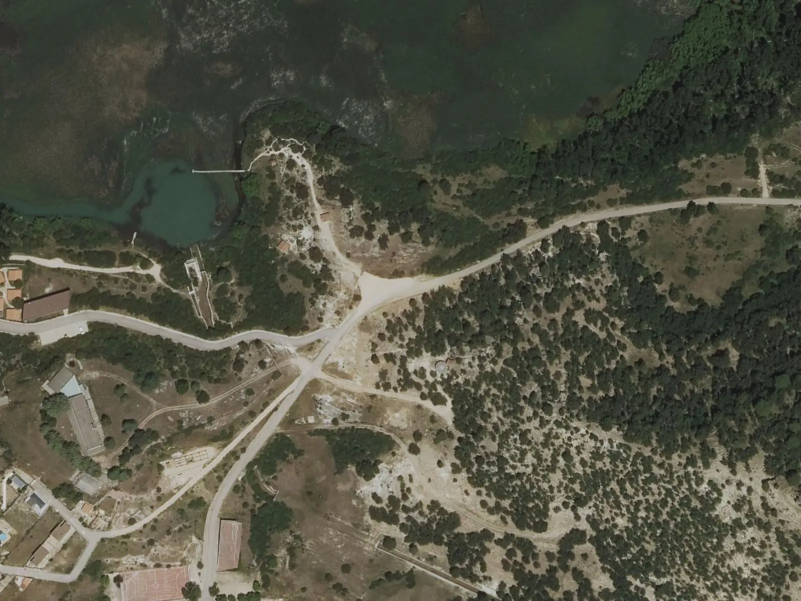
Piedra Yunque is a rock at 1,369 m above Villalba de la Sierra, in the Serranía de Cuenca Natural Park, beside relay transmitters. It is the high point of the PR-CU 33, a 17 km circular trail with 720 m of elevation gain, climbing from the village through the Santa María ravine and pine forest. The Park guide lists it as a viewpoint under Peña del Yunque.
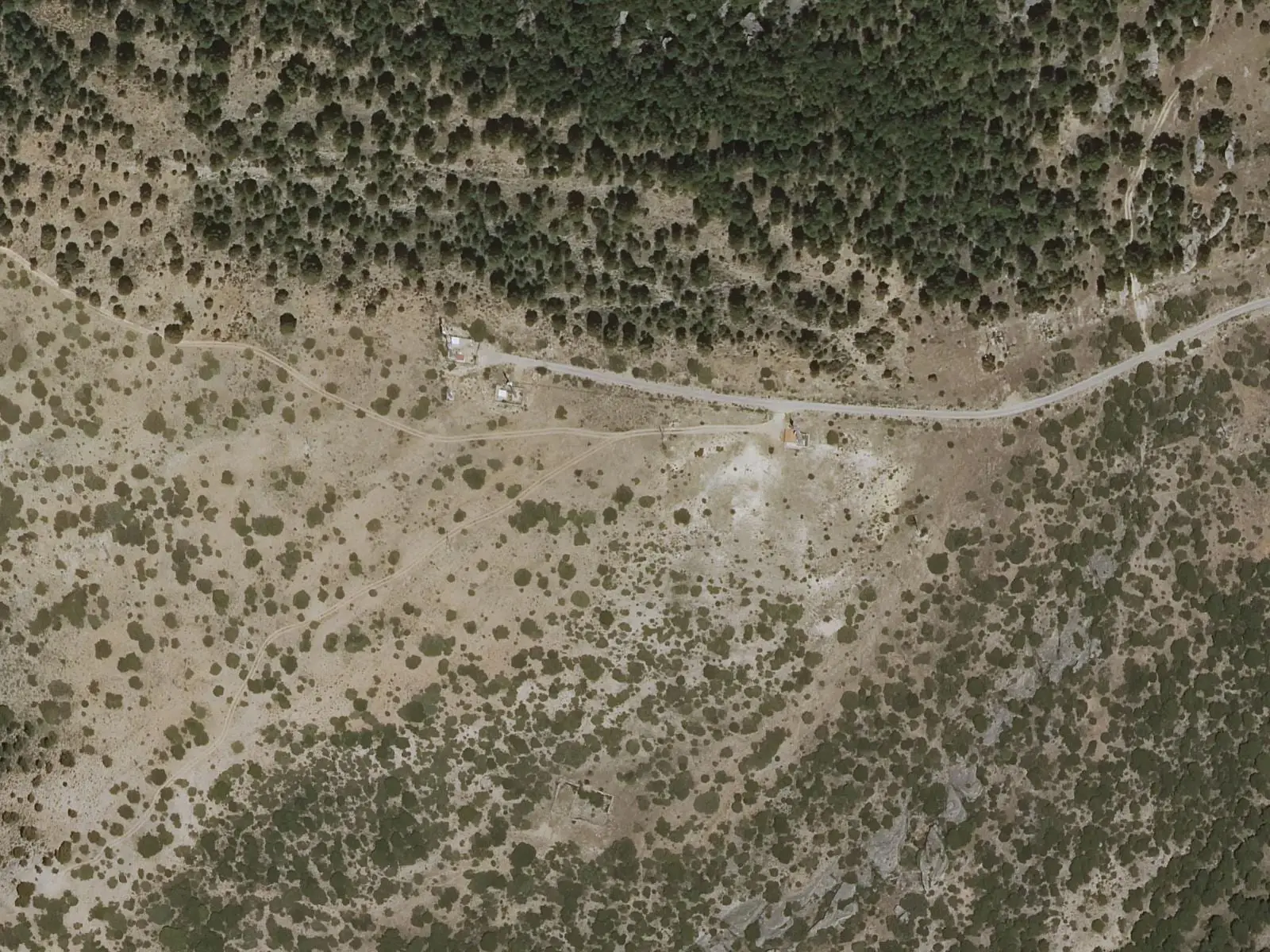
- Municipality
- Villalba de la Sierra
- Piedra Yunque
- Viewpoint
- Villalba de la Sierra
- PR-CU 33
The rock that names the trail
The PR-CU 33, a PR (short-distance trail), leaves Villalba de la Sierra along the Camino de las Aguas, follows the Santa María ravine upstream to Fuente de la Losilla and climbs through pine forest to a track. A couple of kilometres later stands Piedra Yunque, at 1,369 m, with relay transmitter aerials beside it. The Park map includes it in its viewpoint network as Peña del Yunque.
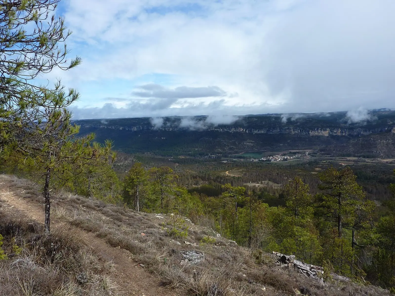
From the top you can see the Serranía’s muelas, flat-topped limestone hills, and gorges around the Júcar canyon.
Plan your visit
Before you travel
It is 17 km with 720 m of cumulative elevation gain, around 5 hours, returning through the same ravine. Take water.
Combine with
The Villalba viewpoints, on the same slope, and the Ventano del Diablo.
Frequently asked questions
How do you get there?
On the PR-CU 33, Ruta de la Piedra Yunque: it leaves Villalba along the Camino de las Aguas, follows the Santa María ravine upstream to Fuente de la Losilla and climbs through pine forest. It is 17 km and around 5 hours.
Carry on from here
Lands and landscapes
From here, follow the memory of the land
These readings connect Piedra Yunque with the stories, the work and the villages around it.
Where it is
● Reference point · ● Villages · ● Places · ━ Routes nearby
Location sketch. The map with paths and names loads as you scroll to it.
Reference villages: Villalba de la Sierra · Uña · Portilla · Las Majadas.
Open the full map and its historical layers →More viewpoints nearby
See all →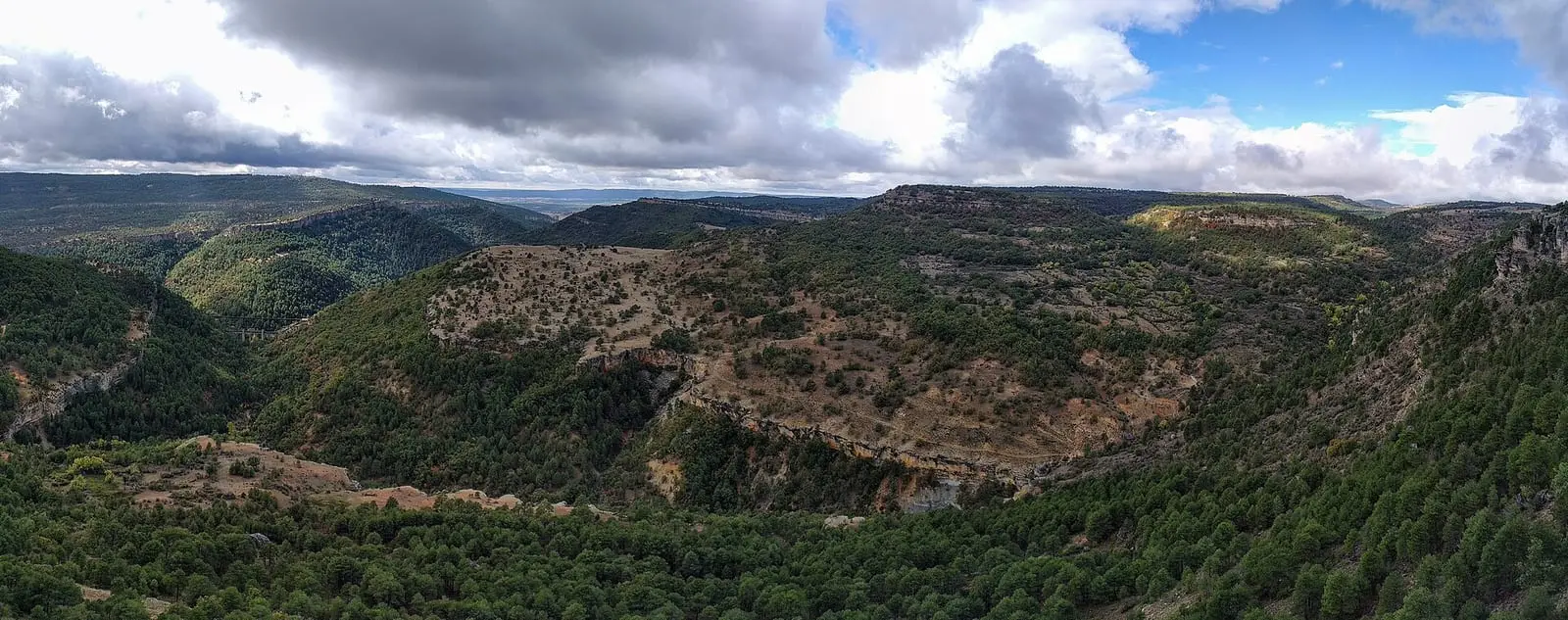
Where the data on this page come from
- Name
- Rewilding España source consulted, 4 October 2026
- Cadena SER Cuenca source consulted, 5 October 2026
- Location
- Rewilding España source consulted, 4 October 2026
- Municipality (INE code)
- Cadena SER Cuenca source consulted, 5 October 2026
«Source consulted»: the primary source has been read. «Reference located»: the source has been identified but not yet read. «Open question»: the figure needs confirmation.