Place · Tragacete
Cerro de San Felipe
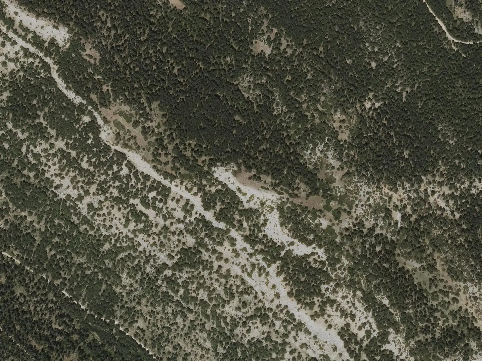
Cerro de San Felipe, at 1,833 m, rises above Tragacete between the Júcar and Cuervo sources, in the Serranía de Cuenca Natural Park. PR-CU 79 crosses it, climbing from San Blas hostel through Estrecho del Infierno and descending to the Cuervo source; the Park guide recommends the ascent.
- Municipality
- Tragacete
- Summit
- San Felipe
- Tragacete
- PR-CU 79
- Júcar
- Cuervo
Between two sources
San Felipe separates two waters. On one side the Júcar rises at the foot of Estrecho del Infierno and descends towards Tragacete; on the other the Cuervo emerges among tufa and waterfalls in its natural monument. The 1,833 m summit stands in the Park’s northern zone, that of the uppermost Júcar.
PR-CU 79, a short-distance trail, links the two sources: it climbs from San Blas through Estrecho del Infierno, crosses the Garrafa saddle and summit, and descends through pine forest to the Cuervo on a very steep path.
Altitudes differ: Hoy por Hoy Cuenca gives 1,837 m and calls it the province’s fourth summit; both figures are retained here pending comparison with the IGN triangulation point. Woodland changes on the ascent: black pine below with thorns, wild roses and junipers; higher, where rock emerges, large Scots pines with orange bark. In winter snow persists on shaded slopes, beneath pines and at the foot of rocks, and rivulets freeze over with water running beneath. The summit overlooks the Júcar valley and gorge, Tragacete and La Mogorrita opposite.
Plan your visit
Before you travel
Weather changes quickly above: check the forecast, take warm clothing and do not climb in fog or snow without experience.
Combine with
The Júcar source and Cascada del Molino de la Chorrera in Tragacete.
Frequently asked questions
How do you climb it?
On PR-CU 79 from San Blas beside the hostel, just over 3 km from Tragacete. The difficult circuit is 22 km with 877 m of elevation gain.
Are there guided walks?
The Natural Park organises interpreted San Blas–San Felipe walks on some dates; the calendar is published on its website.
Carry on from here
Lands and landscapes
From here, follow the memory of the land
These readings connect Cerro de San Felipe with the stories, the work and the villages around it.