Episode · 8th – 1st centuries BC · Iberians and Celtiberians
Hillforts, oppida and sanctuaries of the Serranía
In the Iron Age the Serranía de Cuenca filled with hilltop settlements. In the Serranía Baja, three almost equidistant oppida, Cabeza Moya, La Plaza de Sobrarias and El Molón de Camporrobles, organised smaller territories on the boundary between Iberians and Celtiberians; Sobrarias had a 156 m wall and a ditch cut into rodeno. Further north, hillforts such as Cerrito del Moro are being excavated. The dead were buried in mounds and cemeteries, and the Cueva Santa del Cabriel was a sanctuary.
On this page 6 sections
People on the heights
Between the 6th and 1st centuries BC, the inhabitants of the Serranía left the valleys and moved up onto the hills. In the Cañete district, in Aliaguilla, Mira and the Valencian villages along the boundary, surveys have found dozens of hilltop settlements, many with walls, and a striking number of ditches. Archaeologists call this process castrificación, the formation of hillfort settlements: people gathered in places that were easy to defend.
Three centres
In the Serranía Baja (lower Serranía) and the neighbouring Requena-Utiel district, Alberto Lorrio identifies three larger centres, almost equidistant: Cabeza Moya, above the Cabriel in Enguídanos; La Plaza de Sobrarias, in Aliaguilla, and El Molón, in Camporrobles, already in Valencia. They would have been small oppida, fortified centres organising territories with smaller settlements, also fortified, such as Los Castellares.
Sobrarias is the most imposing. On the level summit of a promontory, surrounded by scarps, it covered about 4 hectares. On the only easy side, the north, a 156-metre wall was built, with bastions flanking the gates, and in front a ditch more than 80 metres long cut into rodeno, the red sandstone of the south-east; marks from the extracted blocks remain in the rock, and that stone became the wall. Inside, pottery from the Mature Iberian period has been found, a piece of Campanian ware from around 100 BC and two denarii from Bolskan, today’s Huesca.
Cabeza Moya had square and rectangular houses, local and Greek pottery and Roman coins. It burnt around the 3rd century BC, perhaps in the wars with Rome.
Further north
In Huerta del Marquesado, Cerrito del Moro is a Celtiberian hillfort with terraces and dry-stone walls, under excavation since 2021. Above the River Gritos, Pico de la Muela, beside the future Valeria, was occupied from the Bronze Age to Roman times. In Valdemoro-Sierra, Los Casares has a rock-cut chamber that some researchers believe was an oracle sanctuary.
The dead and the gods
The dead were cremated. In Pajaroncillo, whole fields of burial mounds, heaps of stones over the ashes, were excavated and published by Martín Almagro Gorbea in 1973; the history of Cañete dates some as early as the 8th century BC. Near Cañizares, an old report describes cremation graves, a brooch, spindle whorls and perhaps a row of stelae.
For the gods there were caves. The Cueva Santa del Cabriel, in Mira, was a sanctuary from the 5th or 4th to the 2nd century BC: 122 goblet-shaped vessels left as offerings have been recorded. Centuries later it became a hermitage and remains a place of pilgrimage. And in Salvacañete a Celtiberian silver deposit was found, with more than a hundred objects and about 75 coins, interpreted by some as an offering and by others as a silversmith’s savings.
Most of this is known from surface survey: most of the hills have not been excavated.
Vocabulary
- Oppidum
- A large fortified settlement that headed a territory. In the Serranía Baja the oppida covered between 2 and 4 hectares.
- Castro
- A hilltop settlement with walls and terraces. Archaeologists call the process by which people gathered on these fortified hills «castrificación» (the formation of hillfort settlements).
- Foso
- A trench dug in front of the wall. At Sobrarias it was cut into rodeno, and the stone extracted was used to build the wall.
- Túmulo
- A heap of stones over a cremation grave. There are whole fields of them at Pajaroncillo.
- Vaso caliciforme
- A small goblet-shaped vessel left as an offering in Iberian cave sanctuaries.
Where it is today
La Plaza de Sobrarias
AliaguillaLos Castellares
Aliaguilla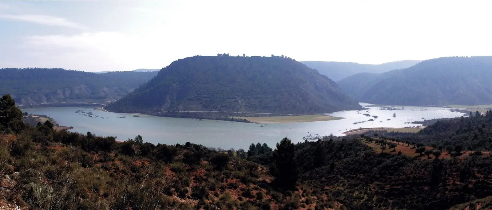
Cerro Cabeza Moya
EnguídanosCerrito del Moro
Huerta del MarquesadoPico de la Muela
Las ValerasPajaroncillo burial-mound fields
PajaroncilloCañizares necropolis
Cañizares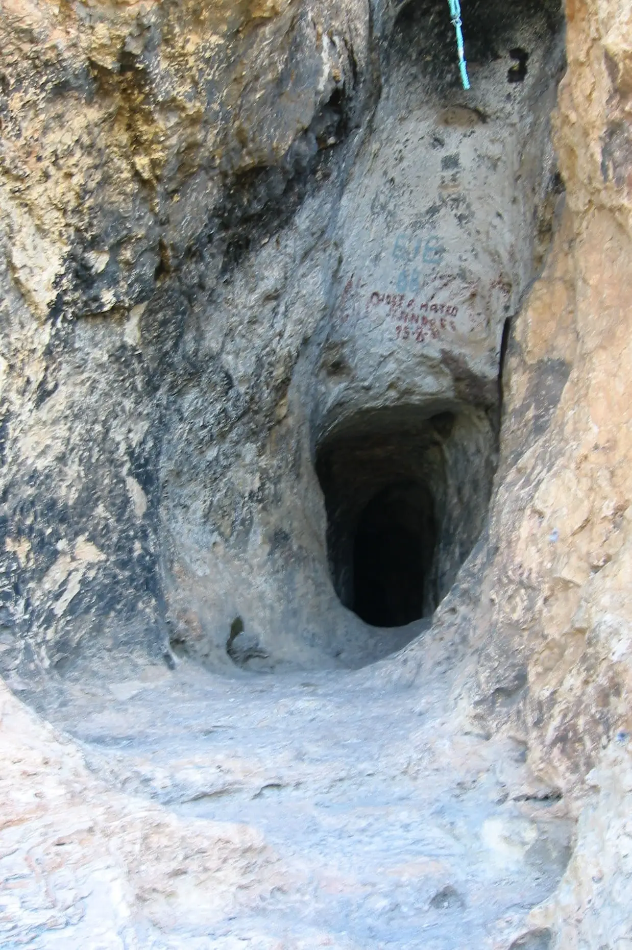
Cueva Santa del Cabriel
MiraLos Casares
Valdemoro-Sierra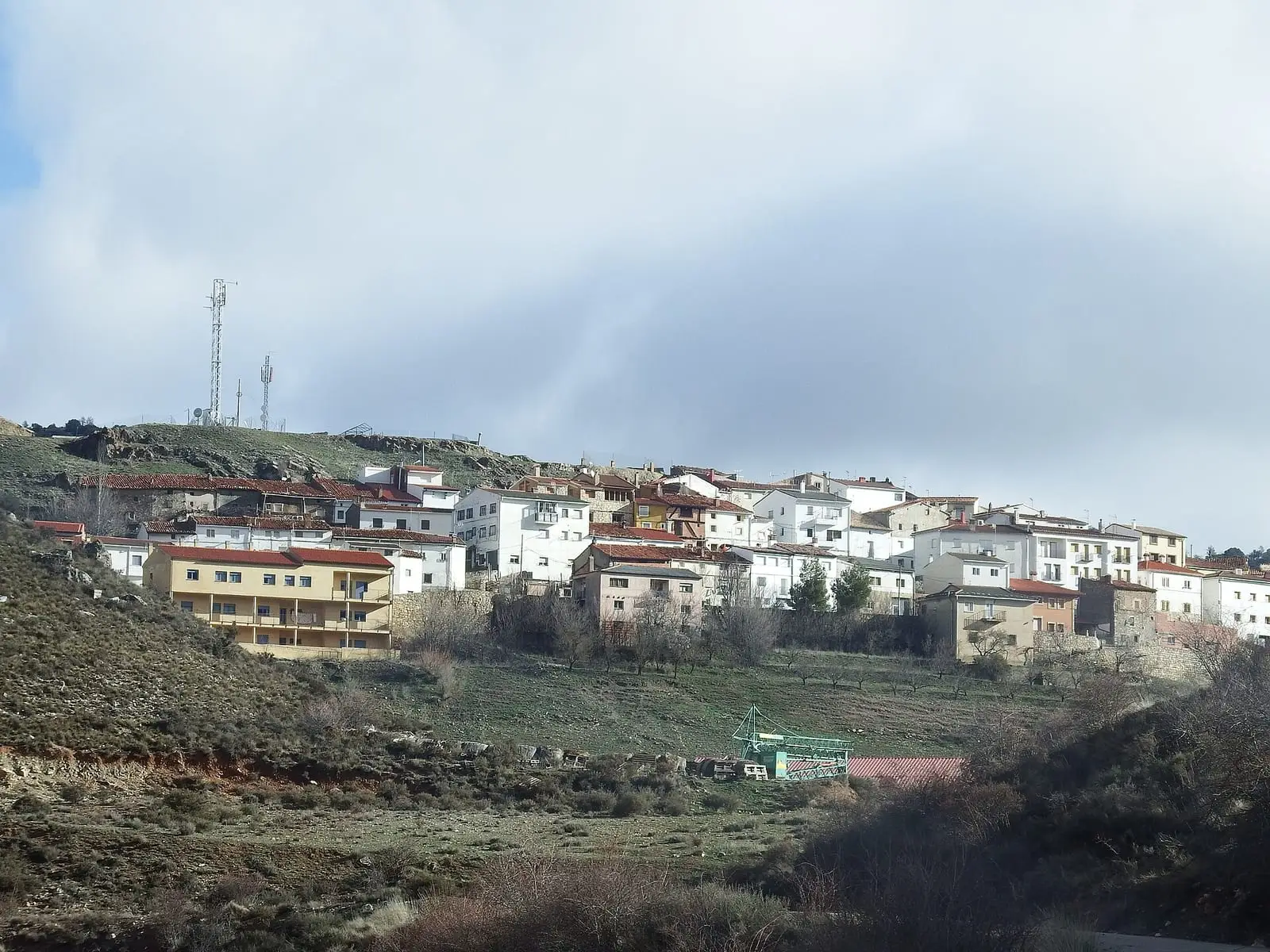
Salvacañete
Cuenca · 1 placesCarry on elsewhere
- Guía de El Molón (Camporrobles) · the neighbouring oppidum, across the boundary with Valencia
Frequently asked questions
Were they Iberians or Celtiberians?
The Serranía Baja was a passage between the two worlds. Archaeologists see southern Celtiberian groups there in contact with the Iberian area of Kelin, in Requena-Utiel. This is an interpretation based mainly on pottery and settlement types.
Can the settlements be visited?
They have not been prepared for visitors: they are hills in the countryside, mostly unexcavated. Respect them without collecting anything or disturbing the ground.
Sources and reading
- Lorrio Alvarado, A. J. (2012): «Fosos en los sistemas defensivos del Levante ibérico (siglos VIII-II a. C.)», Revista d'Arqueologia de Ponent 22, pp. 59-86 source consulted · Section on El Molón and the ditches of the Serranía Baja of Cuenca; description of La Plaza de Sobrarias and Los Castellares.
- Lorrio, A. J., Almagro-Gorbea, M. y Sánchez de Prado, M. D. (2009): El Molón (Camporrobles, Valencia): oppidum prerromano y hisn islámico source consulted · pp. 28–30: transition zone between Iberian and Celtiberian areas.
- Turismo de Castilla-La Mancha: Yacimiento celtíbero del Cerro Cabeza Moya source consulted
- Domínguez-Solera, S. D. y otros (2023): «Noticia sobre el ídolo placa de Huerta del Marquesado (Cuenca)», Los Ojos del Júcar source consulted
- Moneo, T. y otros (2006): «La Cueva Santa del Cabriel (Mira, Cuenca): lugar de culto antiguo y ermita cristiana», Complutum 17 source consulted
- Ayuntamiento de Cañete: Historia source consulted · Overview of the Iron Age in the Cañete district.
- Abascal Palazón, J. M. (1999): «Documentos inéditos sobre las necrópolis de Cañizares, Mira y Arguisuelas (Cuenca)» source consulted
- Marcos Alonso, C. y otros (1998): «El origen votivo del tesoro de Salvacañete (Cuenca)», Saguntum Extra 1 reference located
- Madoz, P. (1845): Diccionario geográfico-estadístico-histórico, tomo I, p. 607 (Aliaguilla) source consulted
Open questions
- Area of La Plaza de Sobrarias: Lorrio gives about 4 ha; Mata and others (2001), 2.5 ha. Both are recorded.
- Ethnic attribution: overviews speak of southern Celtiberians in the Serranía and a transition towards the Iberian world of Kelin (Requena-Utiel); this is an interpretation, not excavation data.
- Most settlements are known from surface survey; only Cerrito del Moro, Cabeza Moya and Pico de la Muela have excavations, and their full reports have not been read.