Torca · Cuenca
Torcas de los Palancares
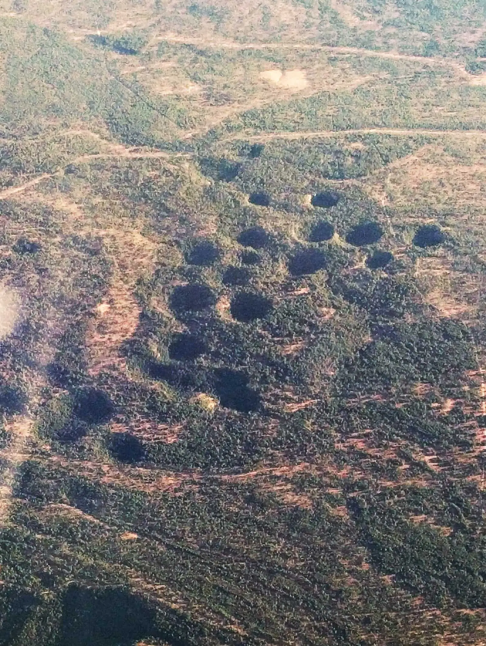
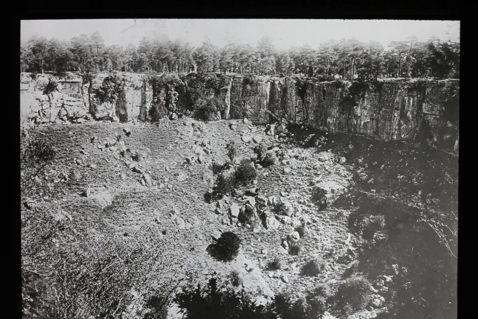
The Torcas de los Palancares are a group of karst collapses in the municipality of Cuenca. Torca Larga measures around 450 m across and Torca Honda is around 50 m deep. They form part of the 18,436.63-hectare Palancares y Tierra Muerta Natural Monument.
- Municipality
- Cuenca
- Torcas
- Palancares
- Karst
- Cuenca
Collapses in the muela
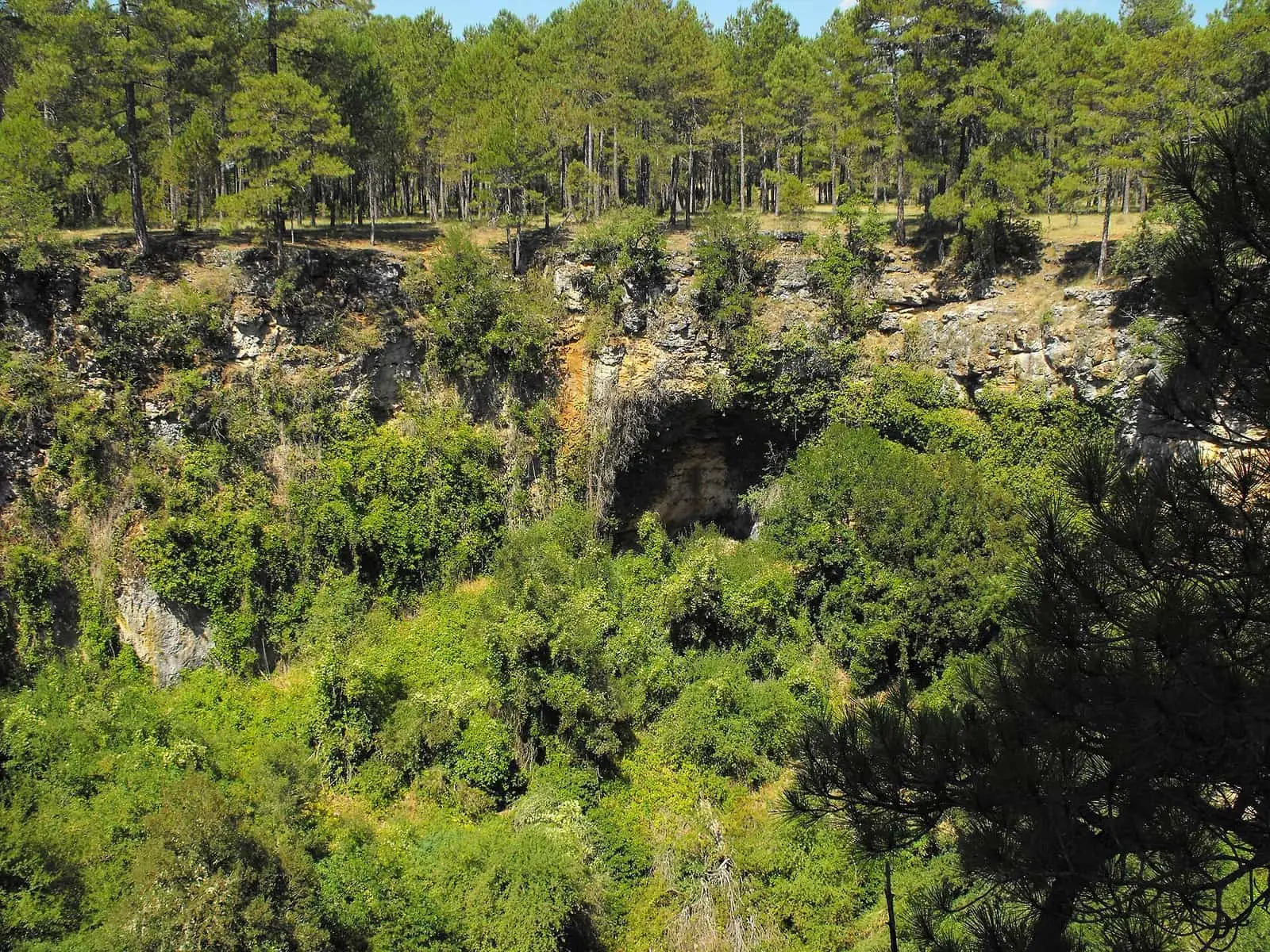
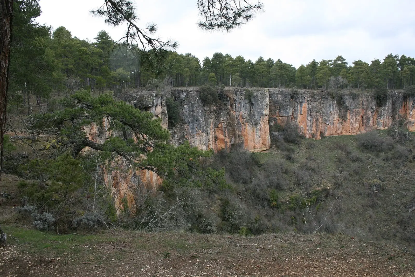
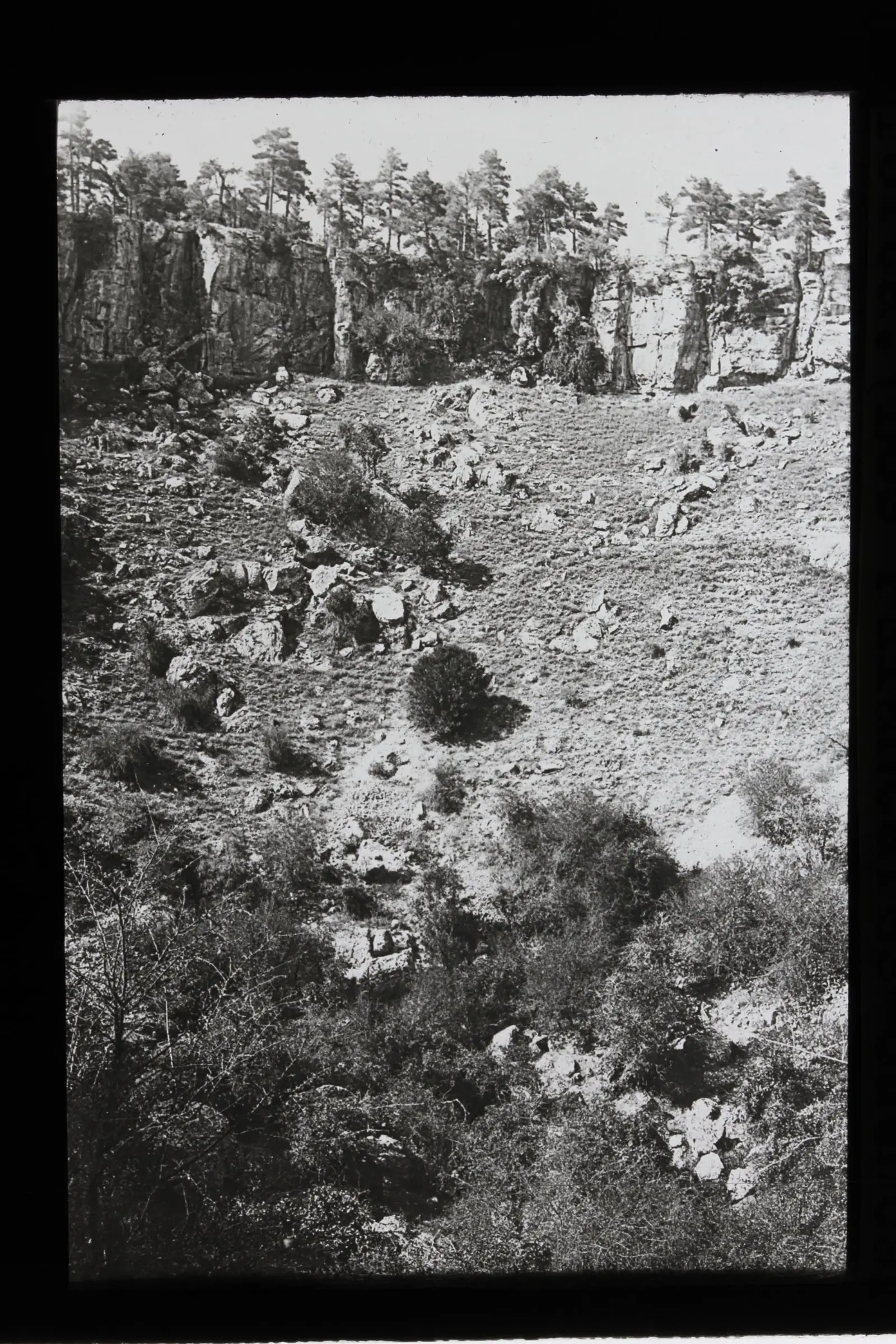
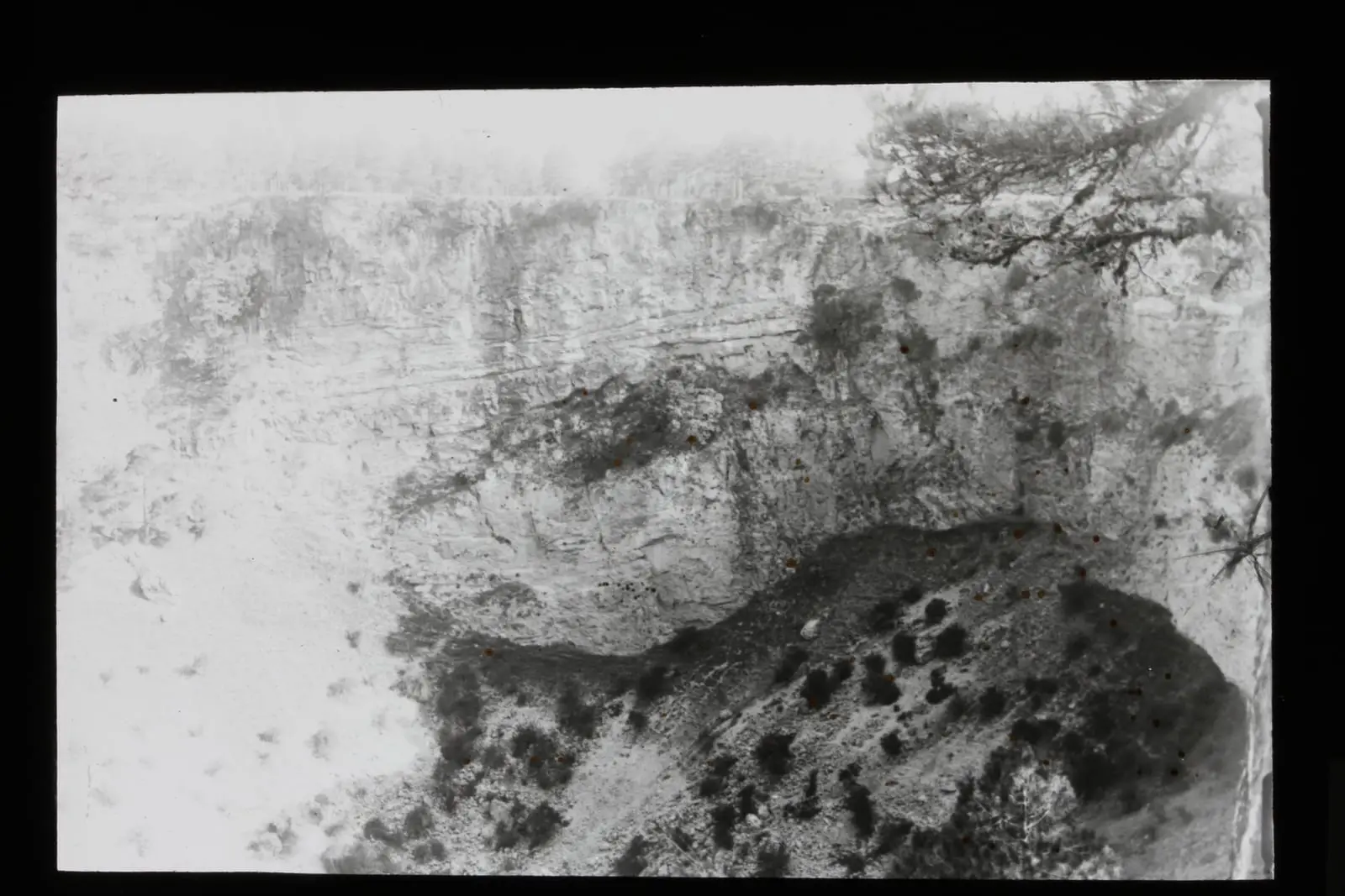
The Torcas de los Palancares are a group of torcas (collapse sinkholes), dolines and uvalas: round hollows with vertical walls in Upper Cretaceous limestone and dolostone. Rainwater and groundwater dissolved the rock and the ground collapsed; sometimes two torcas join to form a uvala. Torca Larga measures around 450 metres across and Torca Honda, the deepest, around 50 metres deep.
People’s names
Almost all have names: Torquete, Torcazo, de la Novia, del Agua, del Tío Joaquín, del Tío Demetrio, del Tío Agustín, del Sastre, Rubia, de la Escaleruela, Aliagosa, de la Zorra, de la Bañera, del Pancho, de la Covacha, Lanilla, de la Perla, Larga, del Medio Celemín, Las Mellizas, Honda, del Prado, de los Avellanos, de las Colmenas, del Lobo and del Cenajo. Some derive from those who found them, others from their shape, plants or a legend.
Junipers and birds of prey
Around them are Spanish juniper woodlands and pine forests, with monumental trees such as the Pino Candelabro, the Pino Abuelo and the Sabina Retratá. Golden eagles and falcons breed on the cliffs.
The Geological and Mining Institute defines the geological site as around 766 hectares, between 1,159 and 1,264 metres above sea level, in the municipality of Cuenca. The torcas form part of the Palancares y Tierra Muerta Natural Monument, designated in 2001.
Plan your visit
Before you travel
View the torcas from the paths, without approaching the edge, climbing down or throwing anything in.
Combine with
The Ciudad Encantada is formed from the same rock. To the south lie the lakes of Cañada del Hoyo.


From the archive
Frequently asked questions
How large are they?
Torca Larga is around 450 m across; Torca Honda is around 50 m deep.
Is there information on site?
There is a Los Palancares information point.
Carry on from here
Lands and landscapes
From here, follow the memory of the land
These readings connect Torcas de los Palancares with the stories, the work and the villages around it.
- Serranía MediaZone of the Serranía →
- Complejo Lagunar del río Moscas micro-reserveProtected area in the municipality →
- Cueva de los Morceguillos micro-reserveProtected area in the municipality →
- Nacimiento del río Cuervo Natural MonumentProtected area in the municipality →
- Palancares y Tierra Muerta Natural MonumentProtected area in the municipality →
- Serranía de Cuenca Natural ParkProtected area in the municipality →
- Serranía de Cuenca SAC and SPA (ES4230014)Protected area in the municipality →
This place through time
Which eras you can read here
A single place can keep traces of several periods. These layers connect what you see with the atlas's stories.
Where it is
Where the data on this page come from
- Name
- Diputación Provincial de Cuenca source consulted, 4 October 2026
- Instituto Geológico y Minero de España: «Inventario Español de Lugares de Interés Geológico: IB110 Torcas de los Palancares» (2013) source consulted
- Municipality (INE code)
- Diputación Provincial de Cuenca source consulted, 4 October 2026
- Instituto Geológico y Minero de España: «Inventario Español de Lugares de Interés Geológico: IB110 Torcas de los Palancares» (2013) source consulted
«Source consulted»: the primary source has been read. «Reference located»: the source has been identified but not yet read. «Open question»: the figure needs confirmation.