Episode · About 125 million years ago – today · Geology and dinosaurs
Water against limestone: how the Serranía was formed
The Serranía de Cuenca is Mesozoic limestone that water has been dissolving for millions of years. About 125 million years ago, Las Hoyas was a subtropical wetland that preserved exceptionally well-kept fossils; at the end of the Cretaceous, rivers and pools in Lo Hueco buried dinosaurs, crocodiles and turtles. Later, the rock folded and fractured, and dissolution formed the Ciudad Encantada, the torcas of Palancares, the lakes of Cañada del Hoyo and the Cuervo's tufa barrier.
On this page 8 sections
A wetland from 125 million years ago
The Serranía’s rock formed in water. About 125 million years ago, in the Early Cretaceous, where Las Hoyas stands today, in the municipality of La Cierva, there was a subtropical wetland: lakes and pools of lime-rich water, with a rainy season and a dry one. The bottom was so still that it preserved its dead with unusual delicacy: a fern, insects, shrimps, a frog, the bird Eoalulavis, the dinosaur Pelecanimimus, the mammal Spinolestes and shoals of fish fry that died suddenly. A team from the Universidad Autónoma de Madrid has been studying it for more than thirty years, and since 2016 it has been a Bien de Interés Cultural (Spain’s highest heritage listing).
The rivers of the last dinosaurs
At the end of the Cretaceous, between what is now Arcas and Fuentes, rivers flowed through waterlogged areas that left coloured marls and mudstones. In May 2007, when a small hill was lowered for work on the high-speed railway to Levante, Lo Hueco emerged: titanosaurs, theropods and ornithopods, crocodiles, turtles, fish and ferns, more than 8,500 large fossils. It was fully excavated and moved. Fossils from both sites are in Cuenca’s Museo de Paleontología.
Fractured limestone
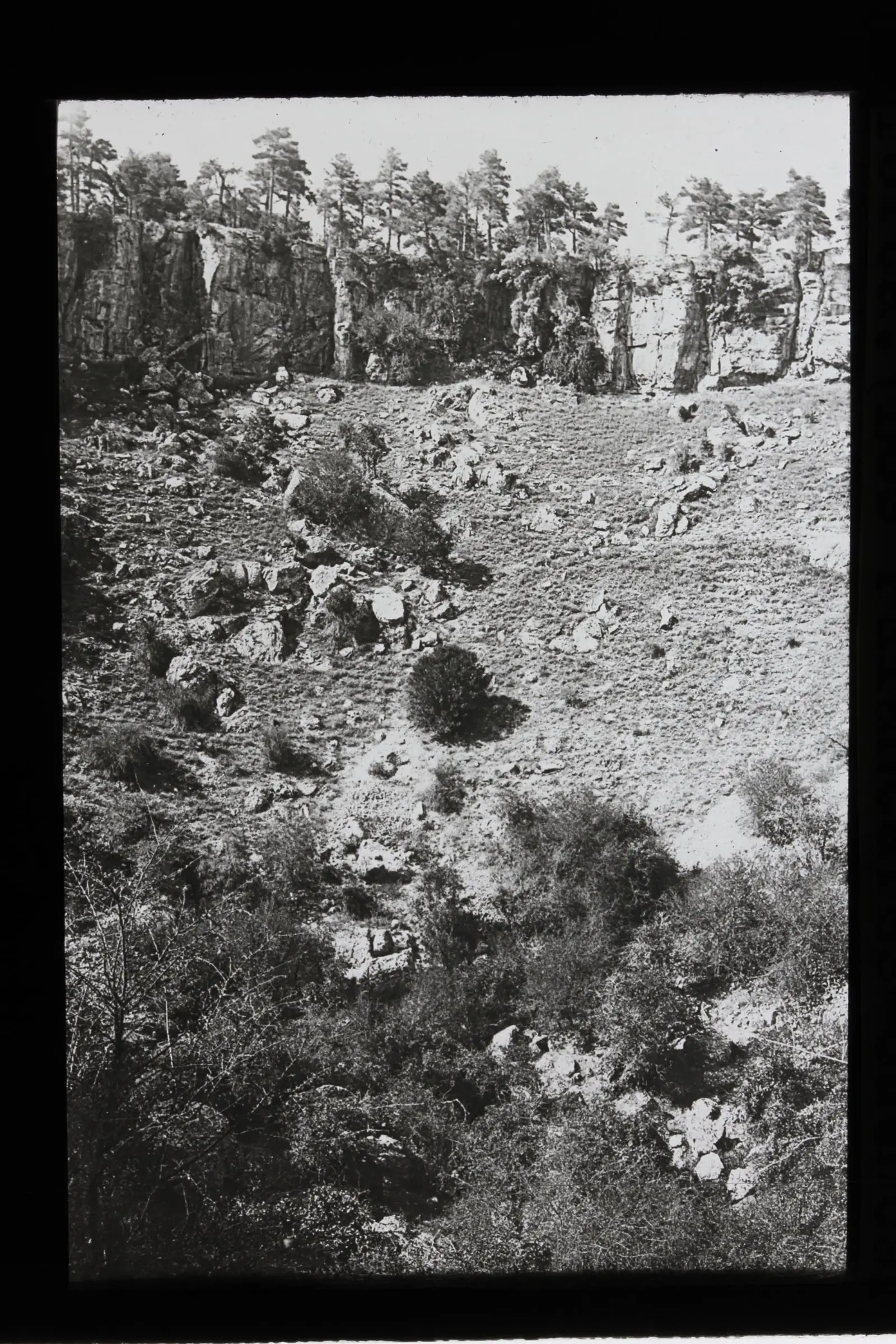
The seas and lakes of the Mesozoic left layers of limestone and dolostone. Earth movements then folded and fractured them, and rainwater, which dissolves limestone, entered the cracks. Since then the Serranía has been a karst: a landscape made more of what is missing than of what remains.
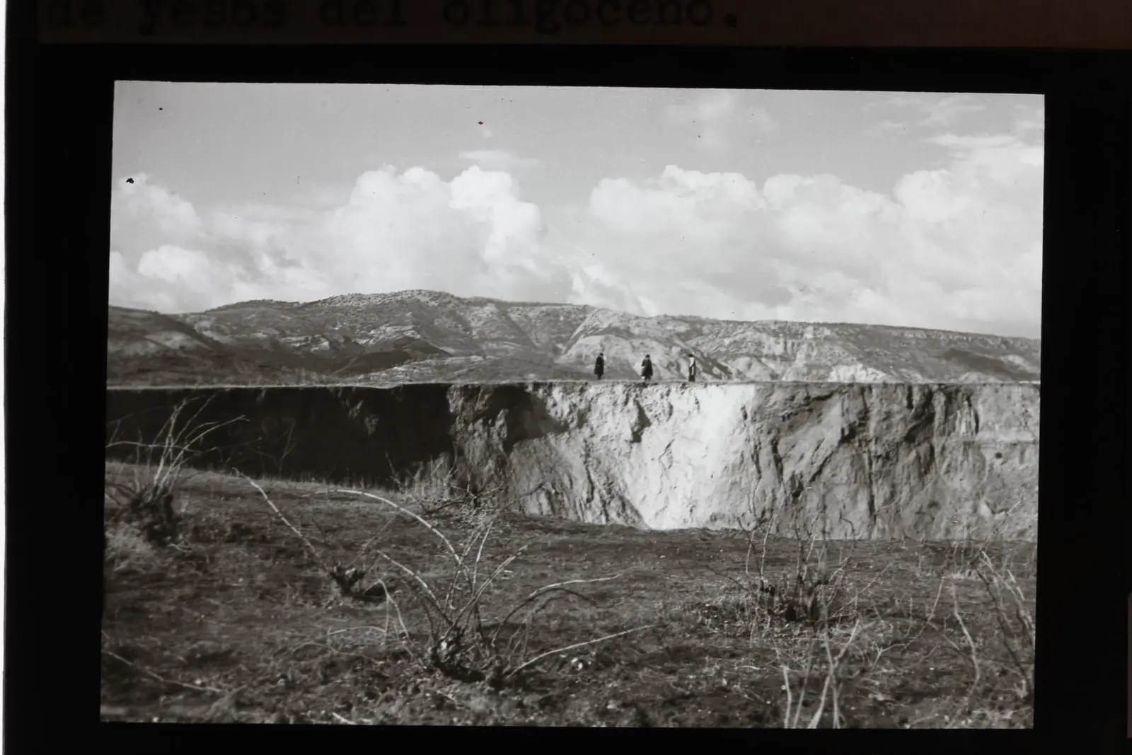
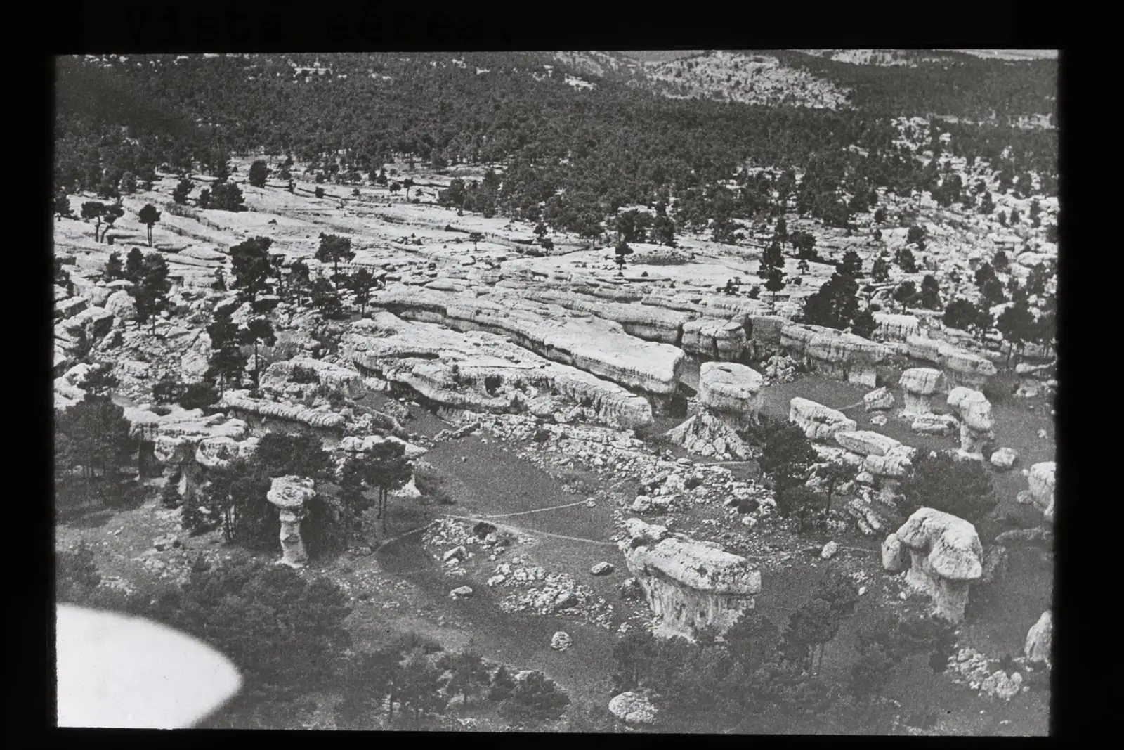
In the Ciudad Encantada, the “Enchanted City” rock formations, water has dissolved the stone unevenly and left shaped blocks between 1,340 and 1,410 metres; the IGME delineates 95 hectares within a karst landscape of about 20 km². It has been a Natural Site of National Interest since 1929. A few kilometres away, in the Torcas de los Palancares, the same process can be seen downwards: the ground collapsed over dissolved rock and opened round hollows with vertical walls. The Torca Larga is about 450 metres in diameter; the Torca Honda goes down about 50. Almost all have names: Del Lobo, De la Novia, Del Tío Joaquín, Las Mellizas.
Lakes at the bottom of the torcas
When a torca, a collapse sinkhole, reaches groundwater, it fills. That is how the lakes of Cañada del Hoyo formed. One of them, La Parra, keeps a climate diary in the mud on its bottom. A team of geologists extracted it in cores and dated it by radiocarbon: before Roman times the doline was dry, the lake formed around the 4th and 5th centuries, was shallow and turbid between 980 and 1350 and deeper between 1350 and 1950, during the Little Ice Age.
Rock that grows
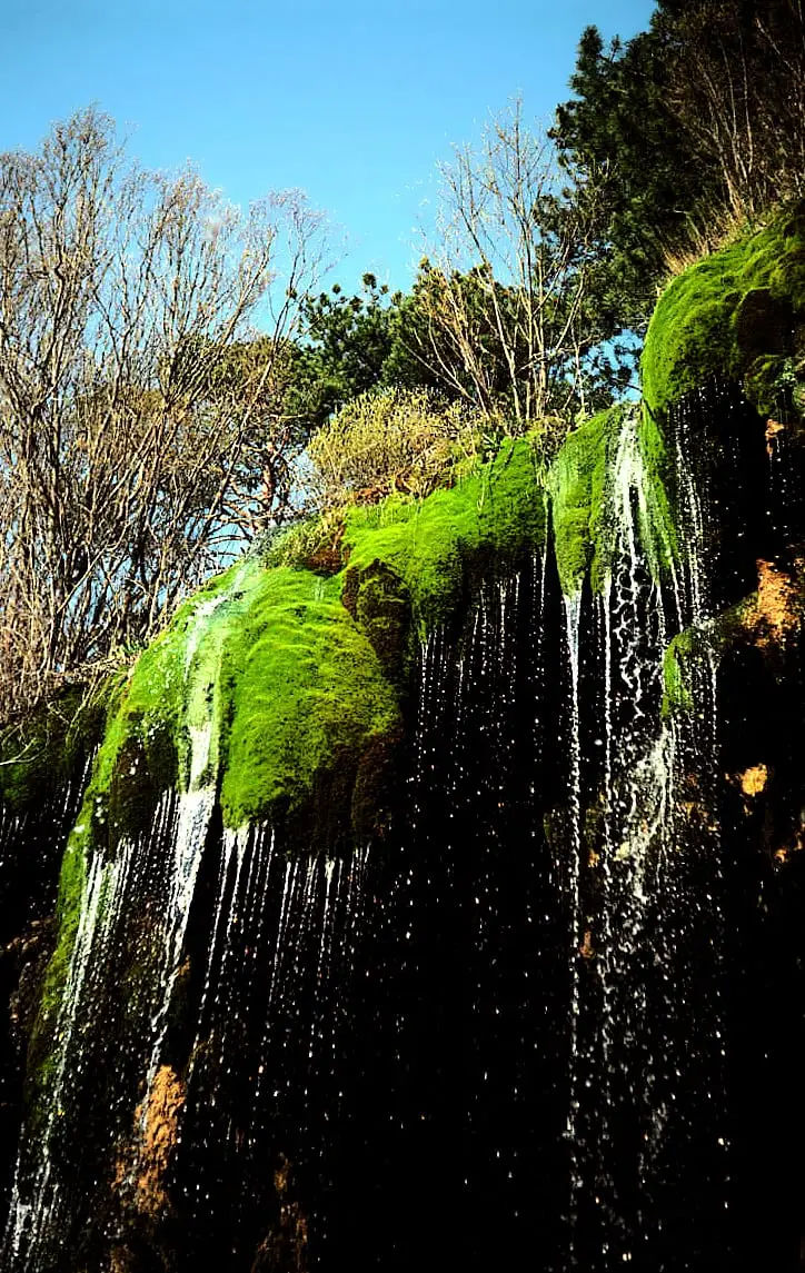
The water that dissolves also builds. At the source of the Cuervo, beside Vega del Codorno, the river emerges from the limestone at about 1,490 metres, loaded with lime, and deposits tufa as it releases it. With this it has built a barrier 300 metres long and up to 25 high that dams the water and makes the waterfalls cascade.
The Cuervo is not an isolated case. Between July and September 2021, a team travelled around the province looking for tufa systems and counted 119 sites; 56.3% had not appeared in any previous inventory. The authors estimated that 25.2% were in optimal condition, 31.1% in suboptimal condition and 1.7% in poor condition; the remaining 42% could not be assessed. The highest densities by area were in Fuertescusa and the Escabas basin. The figures cover the whole province, not just the Natural Park. It was a preliminary assessment, made by eye and by category. To check the mosses, 302 photographs were sent to specialists at the University of Valencia, and the initial identification, made by non-specialists, had been wrong in 18.1% of cases. The authors proposed reviewing a sample of the systems at least every six years.
More about this era: Geology and dinosaurs.
From the archive
Vocabulary
- Karst
- A landscape formed when water dissolves soluble rocks such as limestone: torcas, shafts, caves, karren and stone cities.
- Torca
- The name used in Cuenca for a doline: a round hollow with vertical walls that opens when the ground collapses over dissolved rock.
- Uvala
- A large hollow formed when two or more torcas merge.
- Toba
- Porous rock deposited when lime-rich water reaches the surface, often on mosses and plants.
- Cretácico
- The last period of the Mesozoic, between about 145 and 66 million years ago; the time of the last dinosaurs.
- Conservación excepcional
- Fossils that preserve soft parts such as skin, feathers or muscle, as well as bones and shells.
Where it is today

Las Hoyas
La Cierva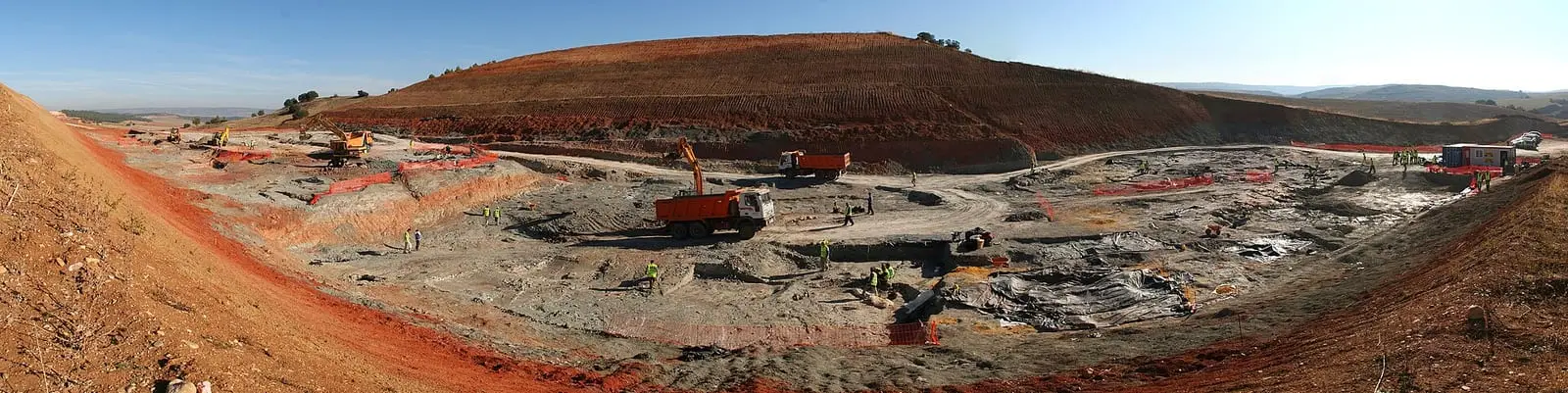
Lo Hueco site
Fuentes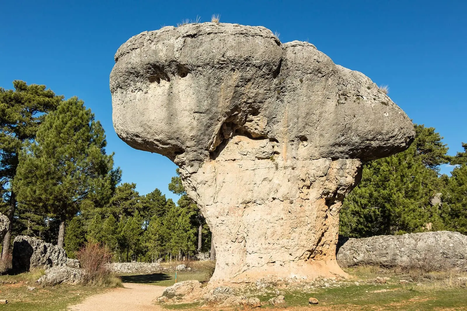
Ciudad Encantada de Cuenca
Cuenca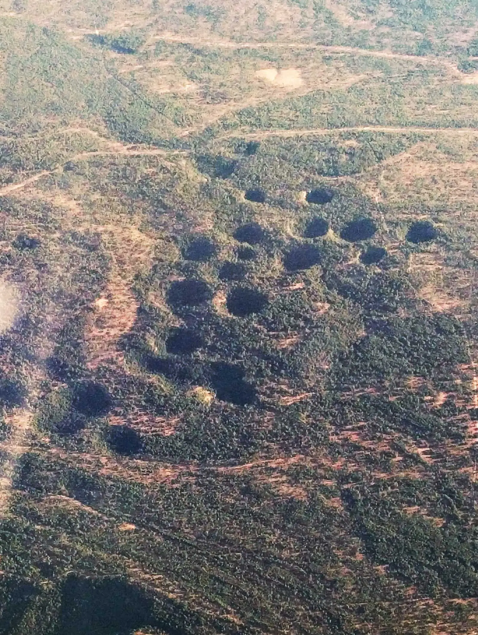
Torcas de los Palancares
Cuenca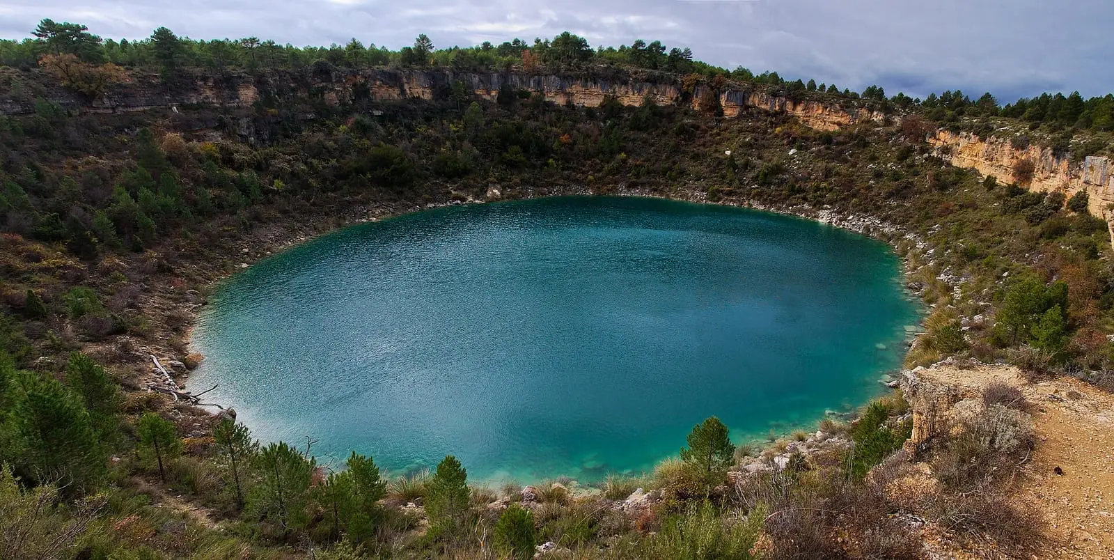
Laguna de La Parra
Cañada del Hoyo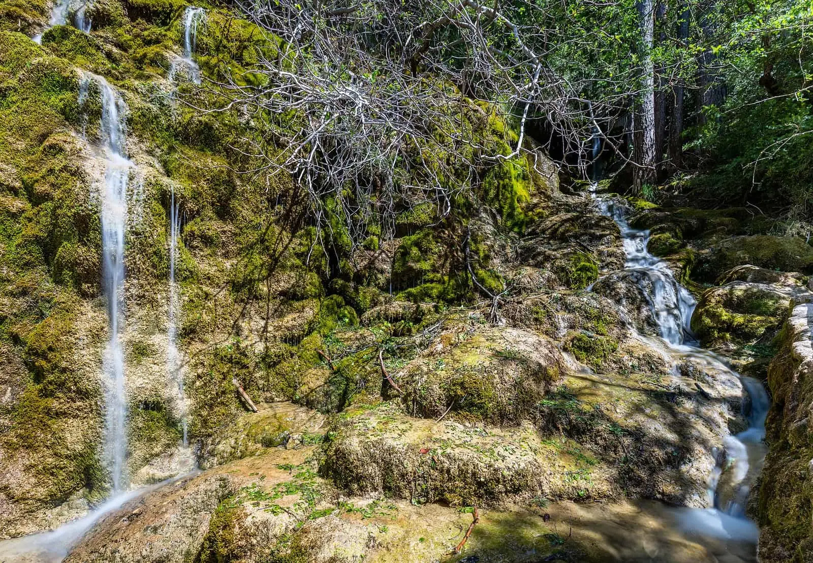
Nacimiento del río Cuervo Natural Monument
Vega del Codorno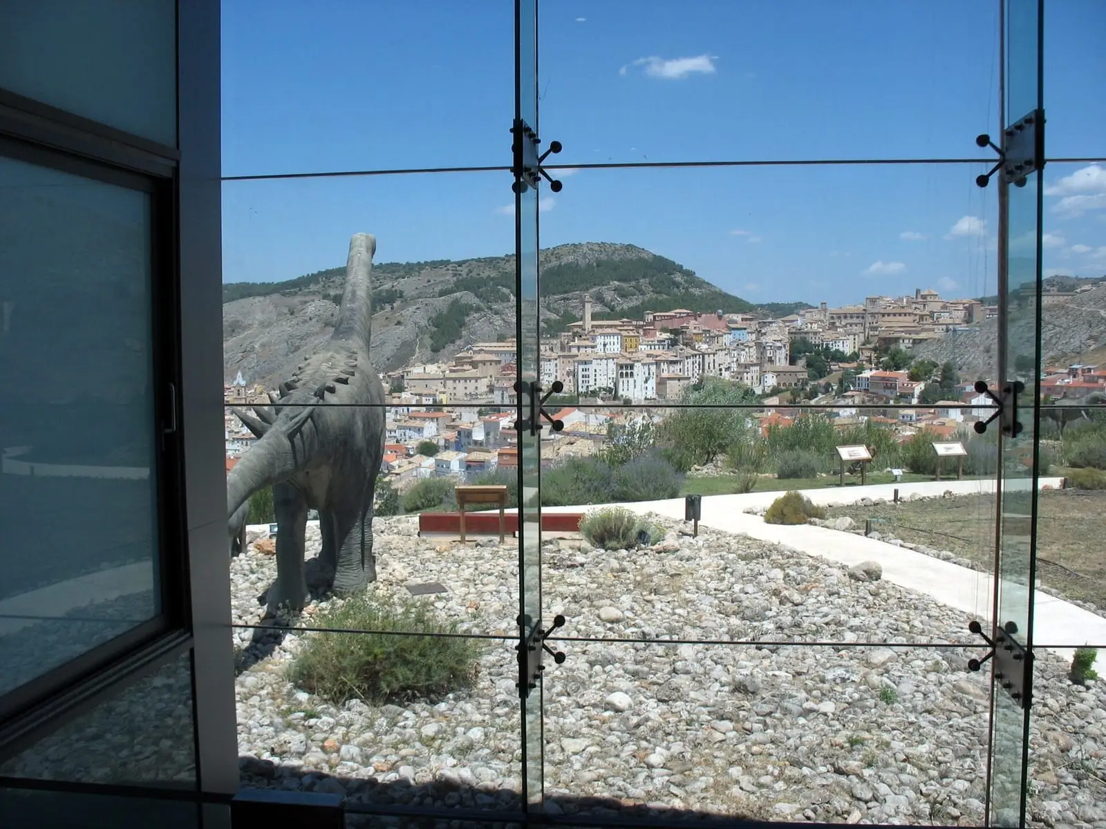
Museum of Palaeontology of Castilla-La Mancha (MUPA)
CuencaPalancares y Tierra Muerta Natural Monument
Decreto 2/2001, de 16 de enero · 18,436.63 haLagunas de Cañada del Hoyo Natural Monument
Decreto 18/2007, de 20 de marzo · 280.71 haNacimiento del río Cuervo Natural Monument
Decreto 229/1999, de 30 de noviembre · 1,709 ha
La Cierva
Cuenca · 2 places
Fuentes
Cuenca · 6 places
Cañada del Hoyo
Cuenca · 6 places
Vega del Codorno
Cuenca · 3 placesFrequently asked questions
Why are there so many torcas and lakes?
Because the Serranía is mainly limestone and dolostone, rocks dissolved by slightly acidic rainwater. When a cavity grows underground, its roof collapses and leaves a round hollow. If the hollow reaches groundwater, it fills and becomes a lake, like those of Cañada del Hoyo.
Can the fossils be seen?
Yes, in the Museo de Paleontología de Castilla-La Mancha in Cuenca, and in the exhibition centre in Fuentes, on the Ruta de los Dinosaurios. The sites cannot be visited independently, and Lo Hueco was fully excavated and no longer exists on the ground.
Sources and reading
- IGME: IB216 Yacimiento de vertebrados del Cretácico inferior de Las Hoyas source consulted
- Cultura Castilla-La Mancha: Yacimiento paleontológico de Las Hoyas source consulted
- IGME: IB113 Yacimiento de dinosaurios del Cretácico superior Lo Hueco source consulted
- IGME: IB228 Ciudad Encantada de Cuenca source consulted
- IGME: IB110 Torcas de los Palancares source consulted
- IGME: IB085 Nacimiento del río Cuervo source consulted
- Vasileva, D., Martínez-Jaraiz, C. y Rodríguez-Estival, J.: «Las Tobas de Cuenca: un gran paso hacia su conservación», Revista Medio Ambiente Castilla-La Mancha 32 (Junta de Comunidades) source consulted · Read in the PDF, pp. 4–11. The cover and credits say winter and January 2022; the web index says winter 2021, and the article page 26-10-2023.
- Barreiro-Lostres, F. y otros (2013): «Evolución sedimentaria del lago kárstico de La Parra (Cuenca) durante los últimos 1600 años», Cuadernos de Investigación Geográfica source consulted
Open questions
- Remains from Lo Hueco: the IGME speaks of more than 8,500 large fossils; other counts, of more than 14,000 remains in six months of excavation. Both are recorded.
- The exact age of the karst landforms of the Ciudad Encantada and the torcas has not been read in the sources consulted.