Route
Camino Natural del Júcar
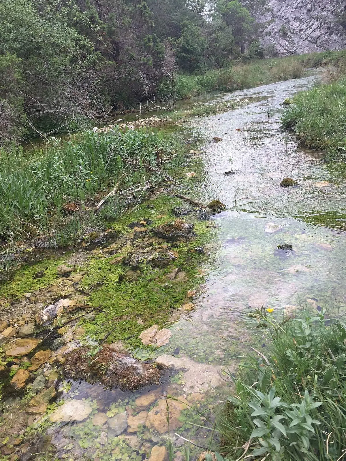
The Camino Natural del Júcar, a greenway of Spain's national network, follows the river for about 220 km, entirely within the province of Cuenca, from its source in Barranco del Infierno, in the Serranía de Cuenca Natural Park, to the Albacete boundary. It has twelve stages. In the Serranía it passes through Tragacete, Huélamo, Laguna de Uña and Villalba de la Sierra before reaching Cuenca. It is promoted by the Ministry of Agriculture.
- Distance
- 220 km
- Difficulty
- Demanding
Walking time without travel or stops. Difficulty estimated from distance and elevation gain where there is no official grading. «Easy» does not mean accessible.
- Camino Natural del Júcar
- Júcar
- Tragacete
- Huélamo
- Uña
- Villalba de la Sierra
Where to start
In Barranco del Infierno, within the Natural Park, where the Júcar rises: the source and Cascada del Molino de la Chorrera, among pine forests and limestone outcrops.
The route
It follows the river for about 220 km, including its stages and spurs, all in the province of Cuenca, to the Albacete boundary, in twelve stages. In the Serranía:
- Stage 2: from Tragacete to Huélamo, along the Cordel de Huélamo, an old livestock route.
- Stage 3: through large pine forests.
- Stage 4: from Laguna de Uña, among canyons, after a short road section.
- Stage 5: from Villalba de la Sierra to the city of Cuenca.
After Cuenca, the landscape opens into plains of cereals, almond and olive trees: Villar de Olalla, the Romanesque churches of Villarejo Seco and Barbalimpia, Alarcón and its reservoir, and El Picazo, where it ends.
Spurs
- 3.1: a 9 km circuit around Cerro del Noguerón and Peña del Castellar, from the Molino de Juan Romero picnic area, near Beamud.
- 12.1: about 23 km from El Picazo.
Before you set out
The Ministry of Agriculture’s guide and maps detail each stage: consult them before planning.
Official route · Ministerio de Agricultura, Pesca y Alimentación (Caminos Naturales). Description, track and notices on the official route page (in Spanish). Before you set out, check there for changes or closures.
Frequently asked questions
How long is it?
About 220 km, all in the province of Cuenca, with twelve stages so far.
Which stages cross the Serranía?
The start, in Barranco del Infierno, with the Júcar source and Cascada del Molino de la Chorrera; stage 2, from Tragacete to Huélamo; stage 3, through extensive pine forests; stage 4, from Laguna de Uña; and stage 5, from Villalba de la Sierra to Cuenca.
Are there spurs?
Yes: 3.1, a 9 km circuit around Cerro del Noguerón and Peña del Castellar from the Molino de Juan Romero picnic area, and 12.1, 23 km from El Picazo to the Albacete boundary.
Carry on from here
Where it is
Where the data on this page come from
- Name
- Ministerio de Agricultura, Pesca y Alimentación source consulted, 5 October 2026
- Route data
- Ministerio de Agricultura, Pesca y Alimentación source consulted, 5 October 2026
«Source consulted»: the primary source has been read. «Reference located»: the source has been identified but not yet read. «Open question»: the figure needs confirmation.