Route
Cuña de Rocas y Ríos
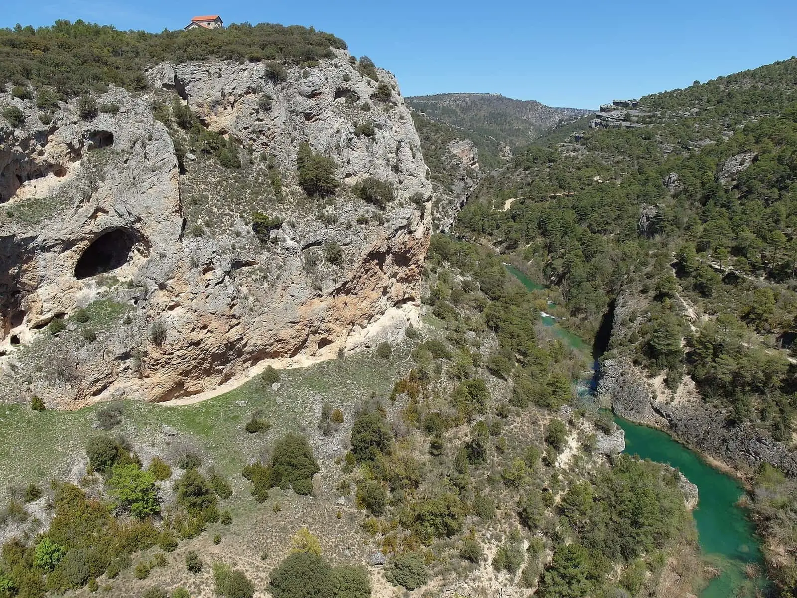
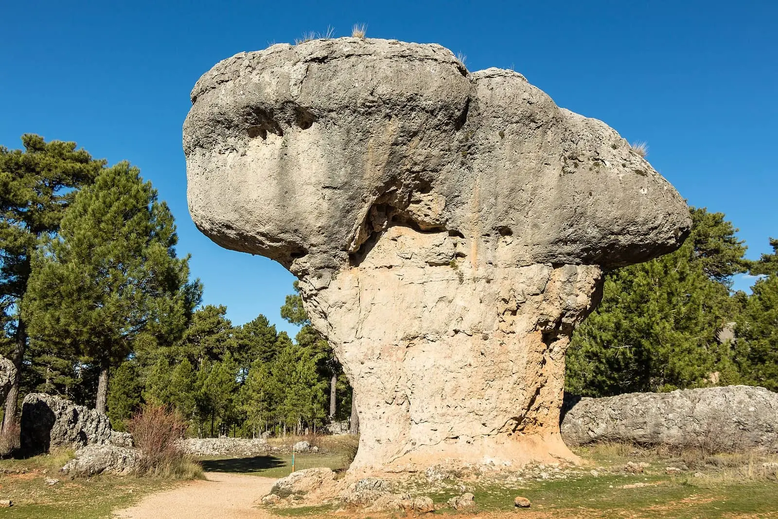
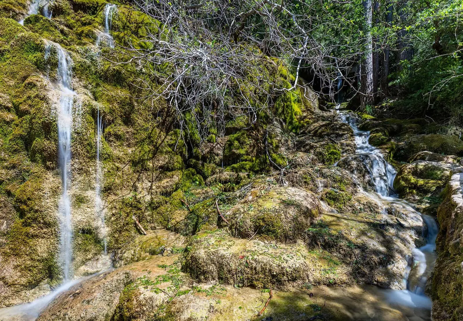
«Cuña de Rocas y Ríos» (a wedge of rocks and rivers) is a Cuenca Provincial Council (Diputación de Cuenca) itinerary leaving the city along the scenic CM-2105 road and travelling throughout the Serranía de Cuenca Natural Park: Ventano del Diablo, Ciudad Encantada, Laguna de Uña, La Toba reservoir, the Cuervo source and El Hosquillo, with the villages of Villalba de la Sierra, Uña, Huélamo, Tragacete and Las Majadas.
Walking time without travel or stops. Difficulty estimated from distance and elevation gain where there is no official grading. «Easy» does not mean accessible.
- Driving route
- Natural Park
- Júcar
- Cuenca Provincial Council
Where to start
In Cuenca, along the CM-2105 road, which follows the Júcar upstream and soon enters the Natural Park, covering more than 73,000 hectares.
The route
This is the classic circuit of the Park. First the Hoz del Júcar and Ventano del Diablo, beside Villalba de la Sierra; then the Ciudad Encantada, the “Enchanted City” rock formations, Laguna de Uña and La Toba reservoir. Upstream are Huélamo and Tragacete, the Cuervo source and, on the return, El Hosquillo and Las Majadas, with its Callejones.
Before you set out
El Hosquillo can only be visited with a booking, and Ciudad Encantada is privately managed.
Official route · Diputación de Cuenca. Description, track and notices on the official route page (in Spanish). Before you set out, check there for changes or closures.


Frequently asked questions
Is it a walking route?
No: it is a road itinerary proposed by Cuenca Provincial Council, with stops. Official Park trails start from each stop.
Carry on from here
Where it is
Where the data on this page come from
- Name
- Diputación Provincial de Cuenca source consulted, 4 October 2026
- Route data
- Diputación Provincial de Cuenca source consulted, 4 October 2026
«Source consulted»: the primary source has been read. «Reference located»: the source has been identified but not yet read. «Open question»: the figure needs confirmation.