Route
Por Tierras de Moya
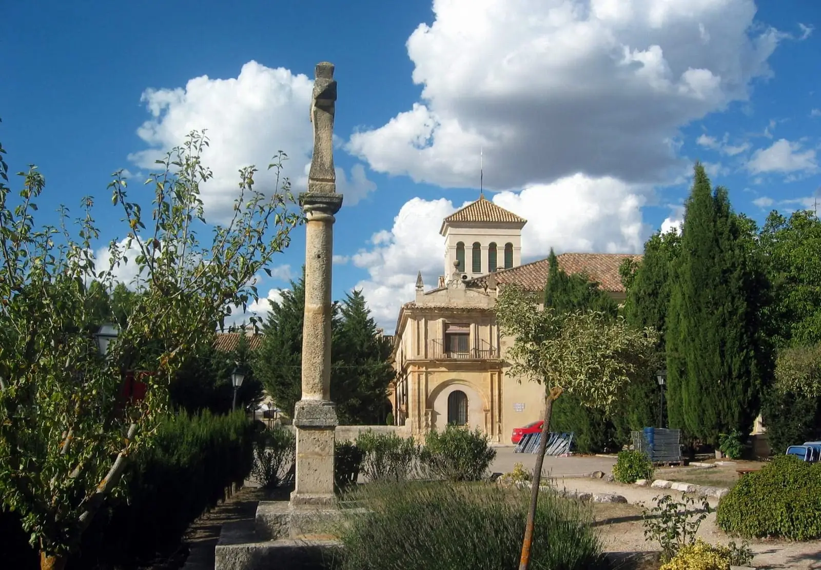
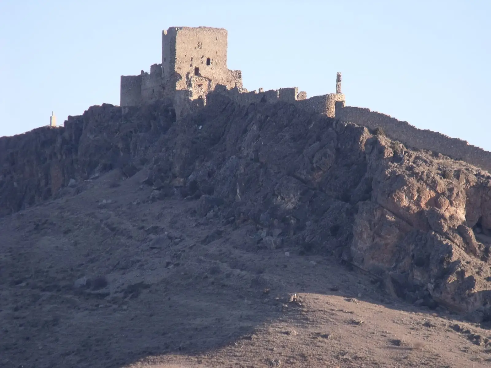
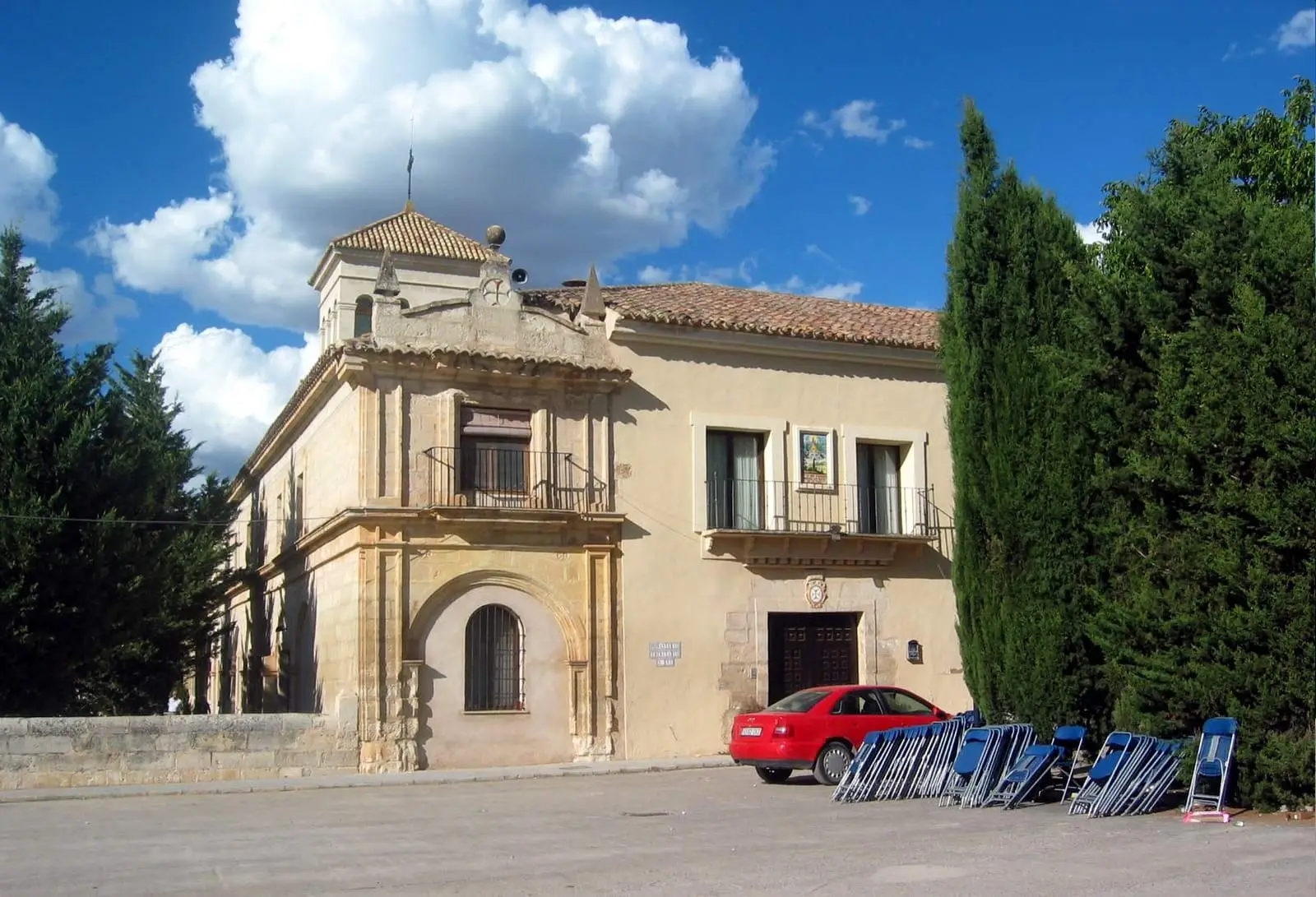
«Por tierras de Moya» (through the lands of Moya) is a Cuenca Provincial Council (Diputación de Cuenca) itinerary through Serranía Baja (lower Serranía): Villar del Humo's rock paintings, the first Marquises of Moya's burial chapel in Carboneras de Guadazaón, Pajaroncillo and Las Corbeteras, Cañete, Boniches, the deserted town of Moya, Landete, Talayuelas and Tejeda monastery.
Walking time without travel or stops. Difficulty estimated from distance and elevation gain where there is no official grading. «Easy» does not mean accessible.
- Driving route
- Moya
- Serranía Baja
- Marquisate of Moya
- Cuenca Provincial Council
The route
It begins in prehistory, with the Villar del Humo rock shelters, part of the rock art designated World Heritage by UNESCO, and the village of Villar del Humo, built in tiers on the hillside. It continues to Carboneras de Guadazaón, with the burial chapel of the first Marquises of Moya, and to Pajaroncillo and Las Corbeteras, rocks worn by water. Then Cañete, Álvaro de Luna’s birthplace; Boniches; the empty town of Moya, seat of the marquisate; Landete, Talayuelas and, in Garaballa, Tejeda monastery.
Before you set out
This is a lot for one day: Moya and Cañete each need a couple of hours.
Official route · Diputación de Cuenca. Description, track and notices on the official route page (in Spanish). Before you set out, check there for changes or closures.


Carry on from here
Where it is
Where the data on this page come from
- Name
- Diputación Provincial de Cuenca source consulted, 4 October 2026
- Route data
- Diputación Provincial de Cuenca source consulted, 4 October 2026
«Source consulted»: the primary source has been read. «Reference located»: the source has been identified but not yet read. «Open question»: the figure needs confirmation.